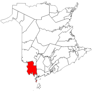
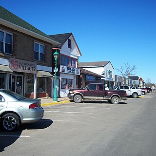
Prince William is a settlement in York County, New Brunswick.
Prince William is a settlement in York County, New Brunswick.

Hartland is a town in Carleton County, New Brunswick, Canada.

The St. Croix River is a river in northeastern North America, 71 miles (114 km) in length, that forms part of the Canada–United States border between Maine (U.S.) and New Brunswick (Canada). The river rises in the Chiputneticook Lakes and flows south and southeast, between Calais and St. Stephen. It discharges into Passamaquoddy Bay, in the Bay of Fundy.

Saint Croix is a provincial electoral district for the Legislative Assembly of New Brunswick, Canada. The district includes the Town of St. Stephen and the Town of St. Andrews.

York was a provincial electoral district for the Legislative Assembly of New Brunswick, Canada in the southwestern portion of the province. It was created in 1995 from a large part of the former York South and a small part of York North.

Petitcodiac is a former village in Westmorland County, New Brunswick, Canada. It held village status prior to 2023 and is now part of the village of Three Rivers.
The Chiputneticook Lakes are a group of several lakes along the international boundary between Maine and New Brunswick.

Queensbury is a geographic parish in York County, New Brunswick, Canada.

Dumfries is a geographic parish in York County, New Brunswick, Canada.
Southampton is a Canadian rural community in York County, New Brunswick.
Dumfries is an unincorporated community in York County, New Brunswick, Canada. It is named for Dumfries, Scotland, the original home of Adam Allen, an early settler.

McAdam is a geographic parish in York County, New Brunswick, Canada.

Prince William is a geographic parish in York County, New Brunswick, Canada.

Manners Sutton is a geographic parish in York County, New Brunswick, Canada.
Chamcook Mountain is located 4.6 miles (7.4 km) from St. Andrews, Charlotte County, New Brunswick, Canada. Ice has completely ground over it and the summit, 637 feet (194 m) above sea level, is scored and polished.
Pollett River is a Canadian rural community in Westmorland County, New Brunswick. The Community centres on the Intersection of Route 905 and the South end of Sanitorium Road.
Route 635 is a 35.2-kilometre (21.9 mi) long mostly north–south secondary highway in the southwestern portion of New Brunswick, Canada. Most of the route is in Prince William Parish.
Route 636 is a 12.9-kilometre (8.0 mi) long mostly north–south secondary highway in the southwestern portion of New Brunswick, Canada. Most of the route is in Prince William Parish.
Route 640 is a 35.9-kilometre (22.3 mi) long mostly north–south secondary highway in the southwestern portion of New Brunswick, Canada. Most of the route is in Prince William Parish.
Route 895 is a 56.9-kilometre (35.4 mi) long north to south secondary highway in the southern portion of New Brunswick, Canada.
Route 905 is a 16.5-kilometre (10.3 mi) long north to south secondary highway in the southern portion of New Brunswick, Canada.
45°54′18″N67°01′52″W / 45.905°N 67.031°W