The Mechums River is a 25.5-mile-long (41.0 km) tributary of the South Fork of the Rivanna River in central Virginia in the United States. Via the Rivanna and James rivers, it is part of the watershed of Chesapeake Bay.
The Doyles River is a 10.1-mile-long (16.3 km) tributary of the Moormans River in central Virginia in the United States. Via the Moormans, Rivanna and James rivers, it is part of the watershed of Chesapeake Bay.
Green Spring Run is an 8.9-mile-long (14.3 km) tributary stream of the North Branch Potomac River in Hampshire County in the U.S. state of West Virginia. Green Spring Run rises in Greenwood Hollow north of Springfield and meanders northeast through Green Spring Valley. The South Branch Valley Railroad and Green Spring Road run parallel to the stream. It runs through the community of Green Spring, from which the stream takes its name. From Green Spring, Green Spring Run flows east where it reaches its confluence with the North Branch Potomac shortly before the North Branch joins with the South Branch Potomac River to form the Potomac River.
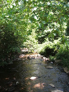
Buffalo Creek is a 4.1-mile-long (6.6 km) free-flowing tributary stream of the South Branch Potomac River, itself a tributary of the Potomac River, making it a part of the Chesapeake Bay watershed. Buffalo Creek is located in west-central Hampshire County in the U.S. state of West Virginia. Because the stream flows through several small farms, Buffalo Creek primarily serves agriculture purposes with segments used for livestock watering.
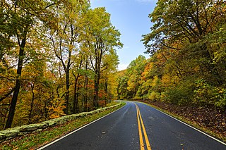
The Thornton River is a 27.9-mile-long (44.9 km) river in the U.S. state of Virginia. It rises at Thornton Gap in Shenandoah National Park and flows east through Rappahannock County, running parallel to U.S. Route 211 until it reaches the town of Sperryville. Continuing east into Culpeper County, the Thornton River joins the Hazel River, a tributary of the Rappahannock River, and thus part of the Chesapeake Bay watershed.
The Conway River is a 14.4-mile-long (23.2 km) river in the U.S. state of Virginia. Rising near the triple junction of Madison, Greene and Page counties at the crest of Shenandoah National Park, the river flows south, then southeast to the Rapidan River northwest of Burtonville. The river is part of the Rappahannock River watershed.
The Covington River is a 7.4-mile-long (11.9 km) river in the U.S. state of Virginia. The river rises at the eastern foot of the Blue Ridge Mountains in Rappahannock County and flows southeast to the Rush River just north of that river's confluence with the Thornton River. The river system flows via the Hazel River to the Rappahannock River, a tributary of Chesapeake Bay.
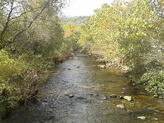
The Dry River is a 22.6-mile-long (36.4 km) tributary of the North River in the U.S. state of Virginia. It flows entirely within Rockingham County, rising within the George Washington National Forest east of the West Virginia border and flowing south to the North River at Bridgewater. Via the North River, it is part of the Shenandoah River system, flowing to the Potomac River.
The Hughes River is a 14.0-mile-long (22.5 km) river in Madison, Rappahannock, and Culpeper counties in the U.S. state of Virginia. The river rises on the east slope of Stony Man mountain in Shenandoah National Park and flows southeast past the village of Nethers to join the Hazel River west of Boston, Virginia. Via the Hazel River and the Rappahannock River, the Hughes River is part of the Chesapeake Bay watershed.
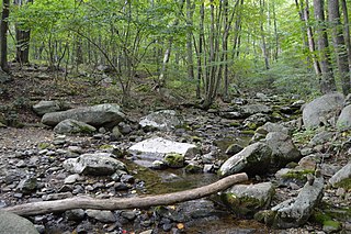
The Little Dry River is a 10.9-mile-long (17.5 km) tributary of the North Fork Shenandoah River in the U.S. state of Virginia. It rises in Rockingham County just east of the Virginia-West Virginia border near the crest of Shenandoah Mountain and flows east, joining the North Fork just west of the village of Fulks Run.
The Lynch River is a 9.8-mile-long (15.8 km) tributary of the North Fork Rivanna River in the U.S. state of Virginia. It is part of the James River watershed. It rises at the unincorporated community of Mission Home near the boundary of Shenandoah National Park and flows southeast past Shady Grove and Nortonsville to join the Roach River, forming the North Fork of the Rivanna at their confluence. The Lynch River flows through Greene and Albemarle counties, crossing their boundary several times.
The Middle River is a 70.6-mile-long (113.6 km) river in the U.S. state of Virginia. Flowing entirely within Augusta County, the Middle River joins the North River, which in turn meets the South River at Port Republic to form the South Fork Shenandoah River.
The North River is a 9.3-mile-long (15.0 km) tributary of the Slate River in Buckingham County in the U.S. state of Virginia. It is part of the James River watershed.
The Piney River is a 16.5-mile-long (26.6 km) tributary of the Tye River in the U.S. state of Virginia. It is part of the James River watershed.
The Piney River is an 8.3-mile-long (13.4 km) river in the U.S. state of Virginia. Rising in the northern part of Shenandoah National Park, it is a tributary of the Thornton River, and via the Hazel and Rappahannock rivers is part of the Chesapeake Bay watershed.
The Roach River is an 11.0-mile-long (17.7 km) tributary of the North Fork Rivanna River in the U.S. state of Virginia. It is part of the James River watershed.
The Rose River is an 8.8-mile-long (14.2 km) river in the U.S. state of Virginia. Rising south of Hawksbill Mountain, the highest point in Shenandoah National Park, the river flows southeast to its junction near Syria, Virginia, with the Robinson River, a tributary of the Rapidan River and part of the Rappahannock River watershed.
The South River is a 13.7-mile-long (22.0 km) river in the U.S. state of Virginia. Rising northeast of Swift Run Gap in Shenandoah National Park, the river flows southeast to the Rapidan River near Burtonville. It is part of the Rappahannock River watershed.
The Staunton River is a 4.1-mile-long (6.6 km) stream in the U.S. state of Virginia. Flowing entirely within Shenandoah National Park, it is a tributary of the Rapidan River and part of the Rappahannock River watershed.
Cedar Run is a 37.5-mile-long (60.4 km) tributary of the Occoquan River in the U.S. state of Virginia.