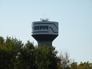
Dieppe is a city in the Canadian maritime province of New Brunswick. Statistics Canada counted the population at 28,114 in 2021, making it the fourth-largest city in the province. On 1 January 2023, Dieppe annexed parts of two neighbouring local service districts; revised census figures have not been released.

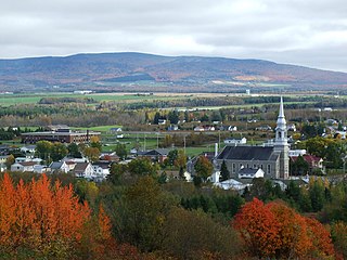
Memramcook, sometimes also spelled Memramcouke or Memramkouke, is a village in Westmorland County, New Brunswick, Canada. Located in south-eastern New Brunswick, the community is predominantly people of Acadian descent who speak the Chiac derivative of the French language. An agricultural village, it has a strong local patrimony, key to the history of the region. It was home to Mi'kmaqs for many years and was the arrival site of Acadians in 1700. A large part of these Acadians were deported in 1755, but the village itself survived.

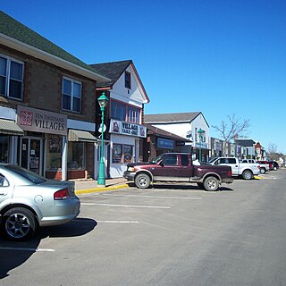
Sussex is a town in Kings County, New Brunswick, Canada. Sussex is located in south central New Brunswick, between the province's three largest cities, Saint John, Moncton, and Fredericton.
Sainte-Marie or Ste. Marie may refer to the several places:
Petitcodiac is a former village in Westmorland County, New Brunswick, Canada. It held village status prior to 2023 and is now part of the village of Three Rivers.

Richibucto is a geographic parish in Kent County, New Brunswick, Canada.
Sainte-Marie-Saint-Raphaël is a former village in Gloucester County, New Brunswick, Canada. It held village status prior to 2023 and is now part of the town of Île-de-Lamèque.
Sayabec is a municipality located in the La Matapédia Regional County Municipality (RCM) in Bas-Saint-Laurent, Quebec, Canada. It is located in the Matapédia Valley between the Chic-Choc Mountains of the Appalachian near Lake Matapédia. The main activities of the village are agriculture and forestry. It has a population of approximately 2,000, the third biggest municipality in its RCM after Amqui and Causapscal. Due to the presence of the chipboards plant called Panval, the biggest industry of the valley, Sayabec is an important regional economic centre.
Route 134 is a 261 km (162 mi)-long north–south secondary highway in eastern New Brunswick, Canada. The highway is divided by into a northern and southern section by a gap in Northumberland County connected by Route 11 and Route 8.

Shippegan is a geographic parish in Gloucester County, New Brunswick, Canada. Located in the northeastern corner of the province at the end of the Acadian Peninsula, the parish consists of the three main islands of Taylor, Lamèque, and Miscou, along with several smaller islands and tidal wetlands; Taylor Island is now joined to the mainland by an isthmus, which is crossed by a causeway.
Wellington is a geographic parish in Kent County, New Brunswick, Canada.

Saint-Marie, is a geographic parish in Kent County, New Brunswick, Canada.

Saint-Paul is a geographic parish in Kent County, New Brunswick, Canada.

Grand-Bouctouche is a Canadian town in Kent County, New Brunswick.
Route 475 is a 21-kilometre (13 mi) long west–east secondary highway in the northwest portion of New Brunswick, Canada.
Sainte-Anne-de-Kent is a settlement in New Brunswick Centered on Route 134 and Route 475. Other Routes in this community include Route 11 and Route 505. The community includes a regional hospital called Stella-Maris-De-Kent Hospital.
Route 515 is a 38-kilometre (24 mi) long east–west secondary highway in the south east portion of New Brunswick, Canada.
The Buctouche River is a river in eastern New Brunswick, Canada which empties into the Buctouche Bay in the Northumberland Strait in the town of Bouctouche.

