Chippewa Lake, Ohio

Last updated

Chippewa Lake, Ohio
CrossPointe Community Church, Chippewa Lake, Ohio.jpg
CrossPointe Church occupies the former Jesus Divine Redeemer Catholic Church building
OHMap-doton-Chippewa Lake.png
Location of Chippewa Lake, Ohio
Map of Medina County Ohio Highlighting Chippewa Lake Village.png
Location of Chippewa Lake in Medina County
Coordinates: 41°04′25″N81°54′17″W / 41.07361°N 81.90472°W / 41.07361; -81.90472
Country United States
State Ohio
County Medina
Area
[1]
  Total0.25 sq mi (0.64 km2)
  Land0.25 sq mi (0.64 km2)
  Water0.00 sq mi (0.00 km2)
Elevation
[2]
1,027 ft (313 m)
Population
 (2020)
  Total654
  Density2,647.77/sq mi (1,023.46/km2)
Time zone UTC-5 (Eastern (EST))
  Summer (DST) UTC-4 (EDT)
ZIP code
44215
Area code 330
FIPS code 39-14282 [3]
GNIS feature ID2397623 [2]

Chippewa Lake (formerly Chippewa-on-the-Lake) is a village in Medina County, Ohio, United States. It is located on Chippewa Lake, a natural inland lake in Ohio. [4] The village was incorporated in 1920. [5] The population was 654 at the 2020 census.

Contents

History

Chippewa Lake took its name from the Ojibwe tribe of Native Americans.

In the 1880s, Oscar Townsend and the Cleveland, Lorain, & Wheeling Railroad developed a prosperous vacation resort, eventually called Chippewa Lake Park, on the banks of Chippewa Lake. The Great Depression and extinction of interurban rail service crippled the park, but in 1937, Parker Beach purchased the resort, and it enjoyed a swinging Golden Age through 1969, as he kept the park's ballroom filled with dancers and famous bands. In 1978, after more than 100 years of operation, Chippewa Lake Park was shut down and left to decay.

In 2008, scenes for the horror film Closed For the Season (released in 2010) were shot at the abandoned amusement park, using many of its decrepit attractions as backgrounds. [6]

A large estate that was originally part of Townsend's empire in town remains intact today, and has operated for decades as The Oaks Lodge restaurant. [7]

Geography

According to the United States Census Bureau, the village has a total area of 0.25 square miles (0.65 km2), all land. [8]

Climate

Climate data for Chippewa Lake, Ohio, 1991–2020 normals, extremes 18952015
MonthJanFebMarAprMayJunJulAugSepOctNovDecYear
Record high °F (°C)72
(22)
74
(23)
84
(29)
91
(33)
97
(36)
102
(39)
103
(39)
103
(39)
99
(37)
93
(34)
81
(27)
75
(24)
103
(39)
Mean maximum °F (°C)55.4
(13.0)
58.7
(14.8)
72.1
(22.3)
80.9
(27.2)
84.1
(28.9)
90.1
(32.3)
91.1
(32.8)
90.6
(32.6)
86.3
(30.2)
79.2
(26.2)
69.6
(20.9)
58.0
(14.4)
92.2
(33.4)
Mean daily maximum °F (°C)32.2
(0.1)
34.9
(1.6)
44.8
(7.1)
58.2
(14.6)
69.0
(20.6)
77.6
(25.3)
81.6
(27.6)
80.3
(26.8)
74.0
(23.3)
61.4
(16.3)
48.3
(9.1)
37.0
(2.8)
58.3
(14.6)
Daily mean °F (°C)24.5
(−4.2)
26.4
(−3.1)
35.4
(1.9)
47.5
(8.6)
58.0
(14.4)
67.1
(19.5)
70.8
(21.6)
69.6
(20.9)
63.0
(17.2)
51.2
(10.7)
39.8
(4.3)
29.8
(−1.2)
48.6
(9.2)
Mean daily minimum °F (°C)16.8
(−8.4)
17.9
(−7.8)
25.9
(−3.4)
36.7
(2.6)
47.0
(8.3)
56.7
(13.7)
60.1
(15.6)
58.8
(14.9)
52.0
(11.1)
41.0
(5.0)
31.4
(−0.3)
22.7
(−5.2)
38.9
(3.8)
Mean minimum °F (°C)−3.5
(−19.7)
−0.4
(−18.0)
8.5
(−13.1)
21.6
(−5.8)
33.3
(0.7)
41.9
(5.5)
48.9
(9.4)
47.8
(8.8)
38.1
(3.4)
28.2
(−2.1)
17.9
(−7.8)
3.5
(−15.8)
−7.6
(−22.0)
Record low °F (°C)−26
(−32)
−24
(−31)
−14
(−26)
3
(−16)
19
(−7)
28
(−2)
38
(3)
34
(1)
25
(−4)
16
(−9)
−2
(−19)
−22
(−30)
−26
(−32)
Average precipitation inches (mm)2.88
(73)
2.23
(57)
3.08
(78)
3.71
(94)
4.04
(103)
4.26
(108)
4.14
(105)
3.58
(91)
3.38
(86)
3.37
(86)
2.95
(75)
2.93
(74)
40.55
(1,030)
Average snowfall inches (cm)9.9
(25)
8.2
(21)
5.6
(14)
0.6
(1.5)
0.0
(0.0)
0.0
(0.0)
0.0
(0.0)
0.0
(0.0)
0.0
(0.0)
0.0
(0.0)
1.5
(3.8)
9.9
(25)
35.7
(90.3)
Average extreme snow depth inches (cm)6.4
(16)
5.7
(14)
4.9
(12)
1.1
(2.8)
0.0
(0.0)
0.0
(0.0)
0.0
(0.0)
0.0
(0.0)
0.0
(0.0)
0.1
(0.25)
1.5
(3.8)
4.5
(11)
9.4
(24)
Average precipitation days (≥ 0.01 in)16.712.513.214.613.611.410.99.510.211.612.315.2151.7
Average snowy days (≥ 0.1 in)6.24.43.00.30.00.00.00.00.00.11.13.618.7
Source 1: NOAA [9]
Source 2: National Weather Service (mean maxima/minima, snow depth 19812010) [10]

Demographics

Historical population
CensusPop.Note
1930 22
1940 4290.9%
1950 107154.8%
1960 21096.3%
1970 34162.4%
1980 245−28.2%
1990 27110.6%
2000 823203.7%
2010 711−13.6%
2020 654−8.0%
U.S. Decennial Census [11]

2010 census

As of the census [12] of 2010, there were 711 people, 311 households, and 188 families living in the village. The population density was 2,844.0 inhabitants per square mile (1,098.1/km2). There were 404 housing units at an average density of 1,616.0 per square mile (623.9/km2). The racial makeup of the village was 97.2% White, 0.6% African American, 0.3% Native American, 0.8% from other races, and 1.1% from two or more races. Hispanic or Latino of any race were 1.4% of the population.

There were 311 households, of which 26.4% had children under the age of 18 living with them, 43.1% were married couples living together, 10.9% had a female householder with no husband present, 6.4% had a male householder with no wife present, and 39.5% were non-families. 32.5% of all households were made up of individuals, and 11.9% had someone living alone who was 65 years of age or older. The average household size was 2.29 and the average family size was 2.89.

The median age in the village was 42.6 years. 19.7% of residents were under the age of 18; 8.7% were between the ages of 18 and 24; 25.1% were from 25 to 44; 33.8% were from 45 to 64; and 12.7% were 65 years of age or older. The gender makeup of the village was 51.2% male and 48.8% female.

2000 census

As of the census [3] of 2000, there were 823 people, 331 households, and 217 families living in the village. The population density was 3,035.2 inhabitants per square mile (1,171.9/km2). There were 395 housing units at an average density of 1,456.8 per square mile (562.5/km2). The racial makeup of the village was 99.03% White, 0.12% African American, 0.24% Asian, 0.24% from other races, and 0.36% from two or more races. Hispanic or Latino of any race were 0.61% of the population.

There were 331 households, out of which 31.4% had children under the age of 18 living with them, 50.8% were married couples living together, 10.0% had a female householder with no husband present, and 34.4% were non-families. 27.8% of all households were made up of individuals, and 6.0% had someone living alone who was 65 years of age or older. The average household size was 2.49 and the average family size was 3.07.

In the village, the population was spread out, with 24.9% under the age of 18, 8.0% from 18 to 24, 31.7% from 25 to 44, 26.2% from 45 to 64, and 9.1% who were 65 years of age or older. The median age was 37 years. For every 100 females there were 108.4 males. For every 100 females age 18 and over, there were 104.0 males.

The median income for a household in the village was $43,667, and the median income for a family was $49,531. Males had a median income of $40,000 versus $26,667 for females. The per capita income for the village was $19,115. About 5.4% of families and 9.2% of the population were below the poverty line, including 13.3% of those under age 18 and 4.4% of those age 65 or over.

Related Research Articles

<span class="mw-page-title-main">Fort Shawnee, Ohio</span> CDP in Ohio, United States

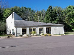
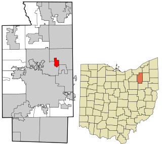
Fort Shawnee is census-designated place (CDP) in Allen County, Ohio, United States. The population was 6,263 at the 2020 census. It is included in the Lima, Ohio Metropolitan Statistical Area. Fort Shawnee is adjacent to the city of Lima and the village of Cridersville in Auglaize County. In 2012, village residents voted to disincorporate the village. According to the United States Census Bureau, the village had a total area of 7.25 square miles (18.78 km2), of which 7.21 square miles (18.67 km2) is land and 0.04 square miles (0.10 km2) is water.

<span class="mw-page-title-main">Bailey Lakes, Ohio</span> Village in Ohio, United States

Bailey Lakes is a village in Clear Creek Township, Ashland County, Ohio, United States. The population was 349 at the 2020 census.

<span class="mw-page-title-main">Park Layne, Ohio</span> Census-designated place in Ohio, United States

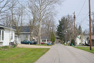
Park Layne is a census-designated place (CDP) in Bethel Township, Clark County, Ohio, United States. The population of the CDP was 4,248 at the 2020 census. It is part of the Springfield, Ohio Metropolitan Statistical Area. Park Layne became a CDP in the 1980 United States Census.

<span class="mw-page-title-main">Union City, Ohio</span> Village in Ohio, United States

Union City is a village in Darke County, Ohio, United States. The population was 1,582 at the 2020 census. It is directly across the state line from its twin city of Union City, Indiana.

<span class="mw-page-title-main">Wayne Lakes, Ohio</span> Village in Ohio, United States

Wayne Lakes is a village in Darke County, Ohio, United States. The population was 693 at the 2020 census.

<span class="mw-page-title-main">Minerva Park, Ohio</span> Village in Ohio, United States

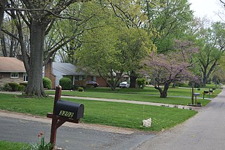
Minerva Park is a village in Franklin County, Ohio, United States. The population was 2,009 at the 2020 census.

<span class="mw-page-title-main">Senecaville, Ohio</span> Village in Ohio, United States

Senecaville is a village in Guernsey County, Ohio, United States. The population was 422 at the 2020 census.

<span class="mw-page-title-main">New London, Ohio</span> Village in Ohio, United States

New London is a village in Huron County, Ohio, United States. The population was 2,416 at the 2020 census.

<span class="mw-page-title-main">North Perry, Ohio</span> Village in Ohio, United States

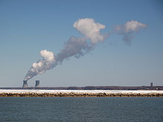
North Perry is a village in Lake County, Ohio, United States. The population was 915 at the 2020 census.

<span class="mw-page-title-main">Perry, Ohio</span> Village in Ohio, United States

Perry is a village in Lake County, Ohio, United States. The population was 1,602 at the 2020 census.

<span class="mw-page-title-main">Waite Hill, Ohio</span> Village in Ohio, United States

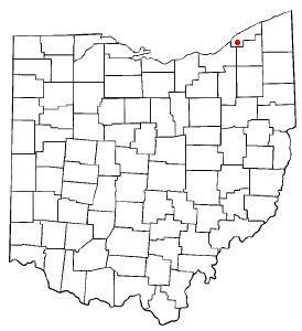
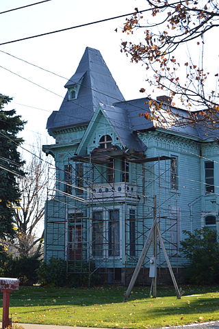
Waite Hill is a village in Lake County, Ohio, United States and a rural suburb of Cleveland. The population was 543 at the 2020 census.

<span class="mw-page-title-main">Russells Point, Ohio</span> Village in Ohio, United States

Russells Point is a village located in northwest Logan County, Ohio, United States. The population was 1,320 at the 2020 census. It is situated on Indian Lake, which had long been a popular summer resort destination.

<span class="mw-page-title-main">Kipton, Ohio</span> Village in Ohio, United States

Kipton is a village in Lorain County, Ohio, United States. The population was 209 at the 2020 census.

<span class="mw-page-title-main">Sheffield Lake, Ohio</span> City in Ohio, United States

Sheffield Lake is a city in Lorain County, Ohio, United States. The population was 8,957 at the 2020 census. It is part of the Cleveland metropolitan area.

<span class="mw-page-title-main">Belle Valley, Ohio</span> Village in Ohio, United States

Belle Valley is a village in Noble County, Ohio, United States. The population was 201 at the 2020 census.

<span class="mw-page-title-main">Clinton, Ohio</span> Village in Ohio, United States

Clinton is a village in southwestern Summit County, Ohio, United States. The population was 1,197 at the 2020 Census. It is part of the Akron metropolitan area.

<span class="mw-page-title-main">New Franklin, Ohio</span> City in Ohio, United States

New Franklin is a city in southwestern Summit County, Ohio, United States, in the northeastern part of the state. The population was 13,877 according to the 2020 census. It is part of the Akron metropolitan area.

<span class="mw-page-title-main">Silver Lake, Ohio</span> Village in Ohio, United States

Silver Lake is a village in Summit County, Ohio, United States. The population was 2,516 at the 2020 census. It is a suburb of Akron and is part of the Akron metropolitan area. Silver Lake is between and surrounded by the cities of Stow and Cuyahoga Falls.

<span class="mw-page-title-main">Mount Eaton, Ohio</span> Village in Ohio, United States

Mount Eaton is a village in Wayne County, Ohio, United States. The population was 171 at the 2020 census.

<span class="mw-page-title-main">Buckeye Lake, Ohio</span> Village in Ohio, United States

Buckeye Lake is a village in Fairfield and Licking counties in the U.S. state of Ohio. The population was 2,520 at the 2020 census. It is named for Buckeye Lake, a large lake along which the village is built.

References

  1. "ArcGIS REST Services Directory". United States Census Bureau. Retrieved September 20, 2022.
  2. 1 2 U.S. Geological Survey Geographic Names Information System: Chippewa Lake, Ohio
  3. 1 2 "U.S. Census website". United States Census Bureau . Retrieved January 31, 2008.
  4. Black, Leonard P. Natural Lakes in Ohio (Larger Than Five Acres) Archived February 3, 2010, at the Wayback Machine , Ohio Department of Natural Resources, Division of Water, August 1991. Accessed September 24, 2007.
  5. Overman, William Daniel (1958). Ohio Town Names. Akron, OH: Atlantic Press. p. 27.
  6. Cleveland.com - "Chippewa Lake providing thrills again -- for horror film" Retrieved September 19, 2010
  7. "- The Oaks History". Archived from the original on August 7, 2016. Retrieved August 1, 2016.
  8. "US Gazetteer files 2010". United States Census Bureau. Archived from the original on January 25, 2012. Retrieved January 6, 2013.
  9. "U.S. Climate Normals Quick Access – Station: Chippewa Lake, OH". National Oceanic and Atmospheric Administration. Retrieved February 24, 2023.
  10. "NOAA Online Weather Data – NWS Cleveland". National Weather Service. Retrieved February 24, 2023.
  11. "Census of Population and Housing". Census.gov. Retrieved June 4, 2015.
  12. "U.S. Census website". United States Census Bureau . Retrieved January 6, 2013.

Further reading