
State Road 520 (SR 520) is a 34.5-mile (55.5 km) east–west state highway in central Florida, United States, connecting with SR 50 in the Orlando area with SR A1A in Cocoa Beach.

State Road 65 is a north–south route in the eastern panhandle, running from a junction with US 98/319 near Eastpoint northwards through the Apalachicola National Forest to SR 12 west of Quincy, near US 90.

State Road 20 is a 358.154-mile-long (576.393 km) east-to-west route across northern Florida and the Florida Panhandle in the United States.
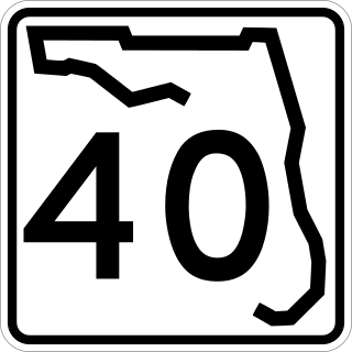
State Road 40 is a 91.832-mile-long (147.789 km) east–west route across northern and east-central Florida, running from U.S. Route 41 in Rainbow Lakes Estates eastwards through Ocala over the Ocklawaha River and bridge and through the heart of the Ocala National Forest to State Road A1A in Ormond Beach. Names of the road include Silver Springs Boulevard in Ocala, Fort Brooks Road from Silver Springs through Astor, Butler Road in Astor, and Granada Boulevard in Ormond Beach. Former sections in Ormond Beach are named "Old Tomoka Road" and "Old Tomoka Avenue."
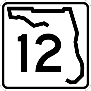
State Road 12 (SR 12) is an east–west route in the Florida Panhandle, running from SR 20 in Bristol to U.S. Route 27 (US 27) in Havana.
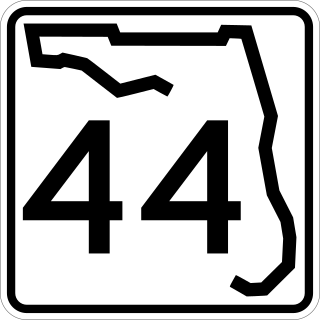
State Road 44 is an east–west state highway in the U.S. state of Florida. It runs from Crystal River on the Gulf of Mexico east to New Smyrna Beach on the Atlantic Ocean, passing through Inverness, Wildwood, Leesburg and DeLand.

State Road 51 is a north–south state highway in north Florida. Its northern terminus is along the overlap of US 41 and US 129. It runs southwards as the "secret" designation of US 129 to Live Oak, where it splits off and runs independently south to Steinhatchee. The Hal W. Adams Bridge carries it across the Suwannee River three miles (5 km) north of Mayo.

State Road 806 (SR 806), locally known as Atlantic Avenue, is the primary east–west highway of Delray Beach in Palm Beach County, Florida. Not to be confused with parallel Atlantic Boulevard (SR 814) 15 miles (24.14 km) to the south, Atlantic Avenue extends from U.S. Route 441 (US 441) and SR 7 eastward to SR A1A just north of Highland Beach. East of Military Trail, SR 806 is in the city of Delray Beach; to the west of Military Trail, the road stretches through unincorporated Palm Beach County in the CDPs of High Point, Kings Point, and the Villages of Oriole.

Yamato Road is a 9.38-mile (15.10 km) east–west arterial boulevard in incorporated and unincorporated Boca Raton, Florida. A portion of the road in incorporated Boca Raton is designated State Road 794, while most of the road to the west is designated, but not signed, as County Road 794. Yamato is located on North 51st Street in the Boca Raton street numbering grid.

New York State Route 346 (NY 346) and Vermont Route 346 (VT 346) are short, adjoining state highways in the northeastern United States. Together, they extend for a combined 7.25 miles (11.67 km) through the towns of Petersburgh in Rensselaer County, New York, and Pownal in Bennington County, Vermont. The bi-state highway begins at an intersection with NY 22 in the hamlet of North Petersburgh and heads generally southeastward across the New York–Vermont state line to a junction with U.S. Route 7 (US 7) in the village of Pownal. Both NY 346 and VT 346 parallel the Hoosick River.

U.S. Highway 1 (US 1) in Florida runs 545 miles (877 km) along the state's east coast from Key West to its crossing of the St. Marys River into Georgia north of Boulogne and south of Folkston. US 1 was designated through Florida when the U.S. Numbered Highway System was established in 1926. With the exception of Monroe County, the highway runs through the easternmost tier of counties in the state, connecting numerous towns and cities along its route, including nine county seats. The road is maintained by the Florida Department of Transportation (FDOT).

State Road 296 is a major thoroughfare in the Pensacola, Florida metropolitan area. It is an east–west route running roughly through midtown Pensacola and West Pensacola. Locally, it is known as Michigan Avenue, Beverly Parkway, Brent Lane, Bayou Boulevard, and Perry Avenue. The western terminus of SR 296 is at U.S. Route 90. Westward of this intersection, County Road 296 connects to State Road 173. The eastern terminus of State Road 296 is again at US 90, this time in eastern Pensacola, where it is known as Cervantes Street.
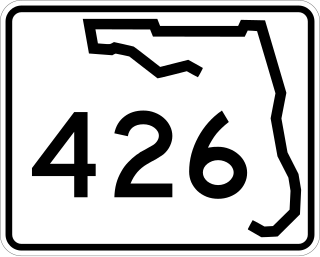
State Road 426 is a major road in Orange and Seminole counties, entirely north of Orlando. Its length is closely similar to SR 438. East of here, the road continues as County Road 426 as a direct route to Mims and Scottsmoor, the census-designated places of Brevard County, terminating at SR 46.

U.S. Route 27 (US 27) in Florida is a north–south United States Highway. It runs 496 miles (798 km) from the South Florida Metropolitan Area northwest to the Tallahassee Metropolitan Statistical Area. Throughout the state, US 27 has been designated the Claude Pepper Memorial Highway by the Florida Legislature. It was named after long-time Florida statesman Claude Pepper, who served in both the U.S. Senate and House of Representatives. The stretch running from Miami to South Bay was originally designated the Thomas E. Will Memorial Highway by the Florida Legislature in 1937 when that portion was known as Florida State Road 26. Will, the founder of Okeelanta, Florida, had worked for almost twenty years to get the state to build a road from Miami to the area south of Lake Okeechobee. For most of its length in the state, US 27 is a divided highway.

U.S. Route 90 (US 90) in the state of Florida is the northernmost east–west United States Numbered Highway in the state. US 90 passes through the county seats of all 15 counties on its course in Florida, and it is also the road upon which many of the county courthouses are located. It is never more than six miles (9.7 km) from Interstate 10 (I-10) throughout the state. It runs as a two-lane highway through most of the sparsely populated inland areas of the Florida Panhandle, widening to four lanes through and near several towns. The speed limit is 55 mph (89 km/h) for all rural points west of Monticello, and it is 60 mph (97 km/h) on all rural points from where it enters Madison County as far as Glen St. Mary.

U.S. Route 98 is a major east-west thoroughfare through the U.S. state of Florida. Spanning 670.959 miles (1,079.804 km), it connects Pensacola and the Alabama/Florida state line to the west with Palm Beach and the Atlantic coast in the east. It is the longest US road in Florida, as well as the longest US road in any state east of the Mississippi River.

State Road 121 is a major state highway that runs north and south in northern Florida. The road is part of a long multi-state route that also goes through Georgia and South Carolina.

State Road 71 is a highway in western Florida that runs 95.4 miles (153.5 km) from the Gulf Coast and the Gulf of Mexico, through the panhandle of Florida to the Alabama border.
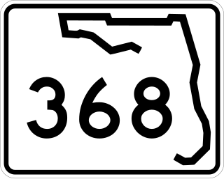
State Road 368 (SR 368) is a short state road an east–west "bypass route", locally known as 23rd Street, in and around the vicinity of Panama City, Florida. The road is entirely four-lanes wide with center left-turn lanes where available, and is divided only at its eastern terminus. No roads overlap SR 368 or vice versa.
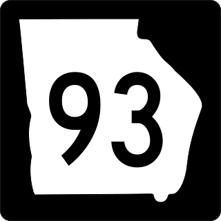
State Route 93 (SR 93) is a state highway in southwest part of the U.S. state of Georgia. The highway runs 60.9 miles (98.0 km) from Moncrief north to Pelham, northeast to Hinsonton, north to Lester, and west to Baconton.

