
Camperdown is an inner western suburb of Sydney, in the state of New South Wales, Australia. Camperdown is located 4 kilometres south-west of the Sydney central business district and is part of the Inner West region. Camperdown lies across the local government areas of the City of Sydney and Inner West Council.

Whale Beach is a northern beachside suburb of Sydney, in the state of New South Wales, Australia. Whale Beach is located 40 kilometres north of the Sydney central business district, in the local government area of Northern Beaches Council, in the Northern Beaches region.

Eveleigh is an inner southern suburb of Sydney, in the state of New South Wales, Australia. Eveleigh is located about 3 kilometres south of the Sydney central business district and is part of the local government area of the City of Sydney.
Lilyfield is a suburb in the Inner West of Sydney, in the state of New South Wales, Australia. Lilyfield is located 6 kilometres west of the Sydney central business district, in the local government area of the Inner West Council.

Centennial Park is a suburb split between the local government area of the City of Sydney and the City of Randwick, located 4 kilometres (2.5 mi) from the Sydney central business district, in the eastern suburbs of Sydney in the state of New South Wales, Australia.

Woollahra is a suburb in the Eastern Suburbs of Sydney, in the state of New South Wales, Australia. Woollahra is located 5 kilometres east of the Sydney central business district, in the local government area of the Municipality of Woollahra. Woollahra is located on the traditional land of the Birrabirragal and Gadigal people of the Eora Nation. The Municipality of Woollahra takes its name from the suburb but its administrative centre is located in Double Bay. Woollahra is famous for its quiet, tree-lined residential streets and village-style shopping centre.

Zetland is an inner southern suburb of Sydney, New South Wales, Australia 4 kilometres south of the Sydney central business district, in the local government area of the City of Sydney.

Sydenham is a suburb in the Inner West of Sydney, in the state of New South Wales, Australia. Sydenham is located 8 kilometres south of Sydney central business district and is part of the local government area of Inner West Council. Sydenham is surrounded by the suburbs of Marrickville, St Peters and Tempe.

Rushcutters Bay is a harbourside inner-east suburb of Sydney, in the state of New South Wales, Australia 3 kilometres east of the Sydney central business district, in the local government area of the City of Sydney.

Rosebery is an inner southern suburb of Sydney, in the state of New South Wales, Australia. It is 6 kilometres south of the Sydney central business district and is part of the local government areas of the City of Sydney and the Bayside Council.
Picnic Point, a suburb of local government area City of Canterbury-Bankstown, is 23 kilometres south-west of the Sydney central business district, in the state of New South Wales, Australia. It is a part of South-western Sydney region. Picnic Point is a residential suburb on the northern bank of the Georges River. Located within Picnic Point is Yeramba Lagoon which is the largest tract of National Park within the Canterbury – Bankstown Council, it is home to numerous species of native fauna and flora.

Northwood is a suburb on the Lower North Shore of Sydney, in the state of New South Wales, Australia 8 kilometres north-west of the Sydney central business district, in the local government area of the Municipality of Lane Cove. Northwood is on the northern side of the Lane Cove River between Woodford Bay and Gore Creek.
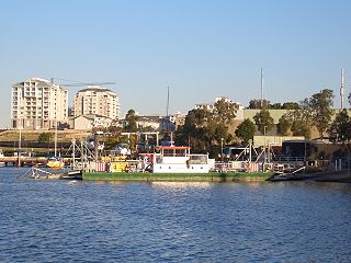
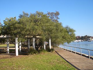
Mortlake is a suburb in the Inner West of Sydney, in the state of New South Wales, Australia. It is 10 kilometres west of the Sydney central business district, in the local government area of the City of Canada Bay.

Kogarah Bay is a suburb in southern Sydney, in the state of New South Wales, Australia 16 kilometres south of the Sydney central business district. It is part of the St George area. Kogarah Bay is in the local government area of the Georges River Council.

Padstow Heights, a suburb of local government area of the City of Canterbury-Bankstown, located 22 kilometres south-west of the Sydney central business district, in the state of New South Wales, Australia. It is a part of the South-western Sydney region. Padstow is a separate suburb to the north and One Tree Point is a locality within Padstow Heights.

Beaconsfield is a small inner southern suburb of Sydney, Australia. Beaconsfield is located 5 kilometres south of the Sydney central business district and is part of the local government area of the City of Sydney. The postcode is 2015.

Elizabeth Bay is a harbourside inner city suburb in the Eastern suburbs of Sydney, in the state of New South Wales, Australia. Elizabeth Bay is located three kilometres east of the Sydney central business district and is part of the local government area of the City of Sydney.

Forest Lodge is a small, inner-city suburb of Sydney, in the state of New South Wales, Australia. Forest Lodge is located 4 kilometres south-west of the Sydney central business district and is part of the local government area of the City of Sydney.
Horsfield Bay is a locality of the Central Coast region of New South Wales, Australia 5 kilometres (3 mi) west of Woy Woy between Brisbane Water National Park and Woy Woy Inlet. It is part of the Central Coast Council local government area.
Marlow is a suburb of the Central Coast region of New South Wales, Australia on the north bank of the Hawkesbury River 58 kilometres (36 mi) north of Sydney. It is part of the Central Coast Council local government area.

