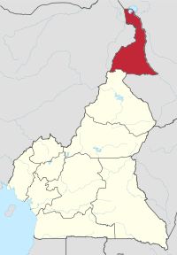
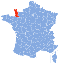
Canton 10, is one of the ten cantons of the Federation of Bosnia and Herzegovina, a political entity of Bosnia and Herzegovina. It is the largest canton by area and eighth by population. The local government seat is in Livno, while the assembly is in Tomislavgrad. It is divided into five municipalities: Bosansko Grahovo, Drvar, Glamoč, Kupres, Tomislavgrad and one city, Livno.
Europe, the westernmost portion of Eurasia, is often divided into regions and subregions based on geographical, cultural or historical factors. Since there is no universal agreement on Europe's regional composition, the placement of individual countries may vary based on criteria being used. For instance, the Balkans is a distinct geographical region within Europe, but individual countries may alternatively be grouped into South-eastern Europe or Southern Europe.

The Western Bloc is an informal, collective term for countries that were officially allied with the United States during the Cold War of 1947–1991. While the NATO member states, in Western Europe and Northern America, were pivotal to the bloc, it included many other countries, in the broader Asia-Pacific region, the Middle East, Latin America, and Africa with histories of anti-Soviet, anti-communist and, in some cases anti-socialist, ideologies and policies. As such, the bloc was opposed to the political systems and foreign policies of communist countries, which were centered on the Soviet Union, other members of the Warsaw Pact, and usually the People's Republic of China. The name "Western Bloc" emerged in response to and as the antithesis of its Communist counterpart, the Eastern Bloc. Throughout the Cold War, the governments and the Western media were more inclined to refer to themselves as the "Free World" or the "First World", whereas the Eastern bloc was often referred to as the "Communist World" or less commonly the "Second World".

The Vrbas Banovina or Vrbas Banate, was a province (banovina) of the Kingdom of Yugoslavia between 1929 and 1941. It was named after the Vrbas River and consisted mostly of territory in western Bosnia with its capital at Banja Luka. Dvor district of present-day Croatia was also part of the Vrbas Banovina.

Podrinje is the Slavic name of the Drina river basin, known in English as the Drina Valley. The Drina basin is shared between Bosnia and Herzegovina and Serbia, with majority of its territory being located in Eastern Bosnia, entire Upper Drina course and majority of the Middle course, while the Lower Drina course is shared between two countries,with the river representing border. The part of the Drina basin located in Bosnia and Herzegovina is also called Eastern Bosnia.

Posavina is a geographical region that stretches along the Sava river, encompassing only the inner areas of the Sava river basin, that are adjacent or near to the Sava river itself, namely catch region spanning from the Julian Alps in the northwest to the confluence with the Danube in the southeast. It passes through several countries of former Yugoslavia, namely Slovenia, Croatia, Bosnia and Herzegovina and Serbia. In Slovene, the term Posavina is not used to describe the parts of Slovenia that lie by the Sava river. Instead, the terms Posavje, Zasavje and Zgornjesavska dolina are used.

The chronological order in which countries enter in the new year is determined by the time zone of that particular country or region. The headers display the time and timezone.