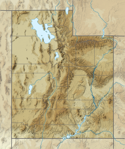
Utah Lake State Park is a state park in west Provo, Utah, United States. The park is located at the west end of Provo Center Street on the east shore of Utah Lake immediately northwest of the Provo Municipal Airport.

White River is a river, approximately 195 miles (314 km) long, in the U.S. states of Colorado and Utah and is a tributary of the Green River.

Hanksville is a small town in Wayne County, Utah, United States, at the junction of State Routes 24 and 95. The population was 219 at the 2010 census.

The Salt Lake City Cemetery is a cemetery in northeastern Salt Lake City, Utah, United States, that is one of the largest city-operated cemeteries in the United States.
Black Rock is an unincorporated community and near-ghost town in the Beaver Bottoms in southern Millard County, Utah, United States, approximately 20 miles (32 km) north of Milford.
Chester is an unincorporated community in central Sanpete County, Utah, United States.
Birdseye is an unincorporated community in southeastern Utah County, Utah, United States.
Hanna is an unincorporated community in western Duchesne County, Utah, United States, on the Uintah and Ouray Indian Reservation.

Vivian Park is an unincorporated community in northeastern Utah County, Utah, United States.
Hailstone was a town in northern Wasatch County, Utah, United States.
Burmester is an unincorporated community in northeastern Tooele County, Utah, United States.
Rosette is an unincorporated ranching community in northwestern Box Elder County, Utah, United States.
Trout Creek is an unincorporated community, in far western Juab County, Utah, United States.

Wah Wah Valley is an endorheic valley within the Basin and Range of west-central Utah, United States.
Shivwits is an unincorporated community in west-central Washington County, Utah, United States. It is occupied by the Shivwits Band of Paiutes.
Knolls is an unincorporated community in north-central Tooele County, Utah, United States.
Beaver Dam is an unincorporated community on the northeastern edge of Box Elder County, Utah, United States.
Lost Creek State Park is a state park in northeastern Morgan County, Utah, United States, about 13 miles (21 km) northeast of city of Henefer and about 10 miles (16 km) northeast of the unincorporated community of Croydon, Utah.


