
Ferdinand Jan Ormeling Jr. (Utrecht, 20 November 1942) (mainly known as Ferjan Ormeling) is a Dutch cartographer. [1] He is the son of the well known cartographer Ferdinand Jan Ormeling Sr.
Ferdinand Jan Ormeling Jr. (Utrecht, 20 November 1942) (mainly known as Ferjan Ormeling) is a Dutch cartographer. [1] He is the son of the well known cartographer Ferdinand Jan Ormeling Sr.
Ferjan Ormeling lived in The Hague until he was six years old. His parents Ferdinand Jan Ormeling Sr. and K.J. (Ina) ten Hoopen were both geographers. In 1948 the family moved to Java, where his father set up the Geographical Institute of Batavia. In 1961 Ferjan Jr. went to study geography at the University of Groningen. He attended lectures by Willem Frederik Hermans, among others. During his entire study period, Ferjan worked at J.B. Wolters at the Bosatlas, of which his father had meanwhile become editor-in-chief. In 1968 he married, in 1971 and 1973 a son and a daughter were born. After graduating in 1969, he went to work at the Utrecht University under Professor Cornelis Koeman, with whom he had attended secondary courses. On June 3, 1983, he received his doctorate with a thesis on the inclusion of geographical names in minority languages on topographical maps. [2] Promoters were Cornelis Koeman and Dick Blok.
From 1985 to 2009 Prof. Dr. Ormeling was professor of cartography at Utrecht University. He gave lectures on atlas cartography, environmental mapping, cartographic theory, historical cartography, map editing and map production. As the motor of one of the few cartography courses in the Netherlands, he was the figurehead of cartography in the Netherlands for more than two decades. Among other things, he was concerned with the question of how thematic maps should be designed in order to achieve the best possible transfer of information. He strongly criticized the maps in government reports (and the frequent lack of maps in them). Those bad maps would stand in the way of good decision-making by, for example, the House of Representatives. In his inaugural address entitled Beeldvorming (Conceptualization) in April 1986, Ormeling stated: The description of the map material is a lithany, a succession of cartographic errors, misunderstanding and ignorance.
He has been a member of the board of the Nederlandse Vereniging voor Kartografie (Netherlands Cartographic Association) since 1975, as vice-chairman from 1983 and as chairman from 1995 to 1997, after which he left the board. In 2001 he was made an honorary member. He is also always a member of the editorial board of the Kartografisch tijdschrift (Cartographic journal), from 1983 as editor-in-chief.
Ormeling chairs the Foreign Geographical Names working group of the Dutch Language Union, which advises on the spelling of the names concerned in Dutch. He is also chairman of the Advisory Committee on Geographical Names in the Netherlands. This committee provides advice to governments, solicited or unsolicited, about geographical names in the Netherlands, such as water names, place names, field names or names of works of art.
From 1999 to 2007 he was Secretary-General and Treasurer of the International Cartographic Association.
In 2009 he was awarded the Gold Carl Mannerfelt Medal, the highest award in cartography, by the International Cartographic Association for his scientific achievements. On May 10, 2013, he received an Honorary degree from Eötvös Loránd University in Budapest. [3] On May 7, 2015, he received an honorary degree from the Aristotle University of Thessaloniki. [4] From August 8–16, 2017, he was the President-elect of the 11th United Nations Conference on the Standardization of Geographical Names in New York City. On June 24, 2022, in Berlin, he received the gold Mercator medal for special services to cartography from the chairman of the Deutsche Gesellschaft fur Kartographie. [5]
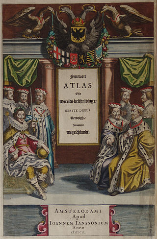
Johannes Janssonius was a Dutch cartographer and publisher who lived and worked in Amsterdam in the 17th century.

Jan Huygen van Linschoten was a Dutch merchant, traveller and writer.
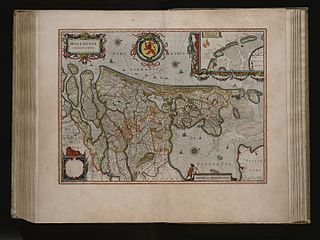
The Atlas Maior is the final version of Joan Blaeu's atlas, published in Amsterdam between 1662 and 1672, in Latin, French, Dutch, German and Spanish, containing 594 maps and around 3,000 pages of text. It was the largest and most expensive book published in the seventeenth century. Earlier, much smaller versions, titled Theatrum Orbis Terrarum, sive, Atlas Novus, were published from 1634 onwards. Like Abraham Ortelius's Theatrum Orbis Terrarum (1570), the Atlas Maior is widely considered a masterpiece of the Golden Age of Dutch/Netherlandish cartography.
The International Cartographic Association (ICA), is an organization formed of national member organizations, to provide a forum for issues and techniques in cartography and geographic information science (GIScience). ICA was founded on June 9, 1959, in Bern, Switzerland. The first General Assembly was held in Paris in 1961. The mission of the International Cartographic Association is to promote the disciplines and professions of cartography and GIScience in an international context. To achieve these aims, the ICA works with national and international governmental and commercial bodies, and with other international scientific societies.
David William Rhind is a British geographer and expert on geographic information systems (GIS). He was Vice-Chancellor of City University, London, until July 2007.
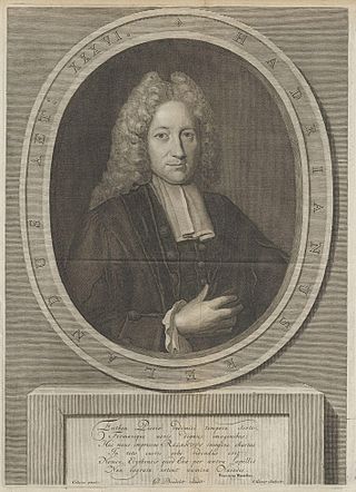
Adriaan Reland was a noted Dutch Orientalist scholar, cartographer and philologist. Even though he never left the Netherlands, or visited the Holy Land, he made significant contributions to Middle Eastern and Asian linguistics and cartography, including Persia, Japan and the Holy Lands.
Lucas Janszoon Waghenaer was a Dutch cartographer and a notable figure of the Golden Age of Netherlandish cartography, known for his pioneering contributions on the subject of nautical cartography.

Jacques Bertin was a French cartographer and theorist, known from his book Sémiologie Graphique, published in 1967. This monumental work, based on his experience as a cartographer and geographer, represents the first and widest intent to provide a theoretical foundation to Information Visualization, with his most lasting contribution being his set of visual variables that can be used to construct map symbols and other graphical techniques one of then being the Bertin Projection, an innovative map projection type.
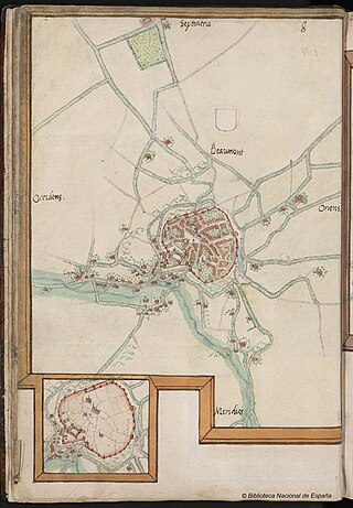
Jacob Roelofs van Deventer was a Netherlandish cartographer of the Renaissance. He is today best known for his work in systematically cartographing all towns and cities of the Habsburg Netherlands of his time. Van Deventer was among the first to make systematic use of triangulation, a technique whose theory was described by Gemma Frisius, one of his teachers at the University of Leuven.

David de Wied was a Dutch professor of pharmacology at the University of Utrecht.

Abraham Goos was a Dutch cartographer, publisher, and engraver. He made globes, maps of North America, a comprehensive map of European coastlines, and the first printed Hebrew language map of The Holy Land.
Frederik Muller or Frits Muller was a Dutch bibliographer, book seller, and print collector. He married Gerarda Jacoba Yntema. Their son Samuel Muller Fz. became known as municipal and state archivist in Utrecht. Another son, Jacob Wijbrand Muller, was to become professor of Dutch language and literature at the University of Utrecht, and his son, Frederik Muller Jzn, would be professor of Latin at the University of Amsterdam and that of Leiden.

Manfred Ferdinand Buchroithner is an Austrian cartographer, developer of autostereoscopic cartographic visualisations, geologist, mountain researcher and mountaineer.
Menno-Jan Kraak is a Dutch cartographer and professor of Geovisual Analytics and Cartography at the Faculty of Geoinformation Sciences and Earth Observation at the University of Twente. He is known for his work in cartography and his activities in the International Cartographic Association.
Jan Luiten van Zanden is a Dutch economic historian and professor of Global Economic History at Utrecht University. He is a widely acknowledged specialist in Dutch, European and Global Economic History.

Marcel Peter René van den Broecke was a Dutch specialist in phonetics and also in cartography, more in particular the historical maps by Abraham Ortelius.

Ferdinand Jan Ormeling Sr. was a Dutch geographer and cartographer. He achieved national and international recognition for his scientific, didactic and organizational skills.

Cornelis Koeman was a Dutch geodetic engineer and cartographer, famous for his work on the history of cartography.
Günter Gerhard Schilder, is a Dutch leading historian of cartography and for many years held the world's only chair in the history of cartography at the Utrecht University from 1981 to 2004.
Christopher Board OBE is a British cartographer and academic. Among his special interests are the histories of cartography and of military mapping in colonial South Africa.
Content in this edit is translated from the existing Dutch Wikipedia article at Ferjan Ormeling; see its history for attribution.
| International | |
|---|---|
| National | |
| Other | |