
U.S. Route 92 or U.S. Highway 92 is a 181-mile (291 km.) U.S. Route entirely in the U.S. state of Florida. The western terminus is at US 19 Alt. and SR 687 in downtown St. Petersburg. The eastern terminus is at SR A1A in Daytona Beach.
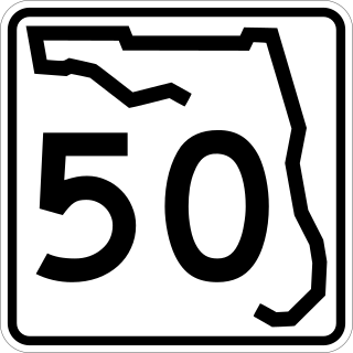
State Road 50 runs across the center of the U.S. state of Florida through Orlando, with its termini at SR 55 at Weeki Wachee and SR 5 in Titusville.
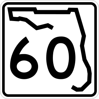
State Road 60 is an east–west route transversing Florida from the Gulf of Mexico to the Atlantic Ocean. The western terminus of SR 60 is at the Sunsets at Pier 60 site in Clearwater Beach. The eastern terminus is in Vero Beach near the Atlantic Coast just past State Road A1A.
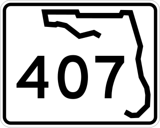
State Road 407, known locally as Challenger Memorial Parkway, is a 6.8-mile (10.9 km) spur from SR 528 that links to SR 405. By utilizing the SR 407 to SR 405 route, travelers from Central Florida can access the Kennedy Space Center and the city of Titusville.

State Road 909 is a 3.77-mile (6.07 km) state highway in northern Miami-Dade County, Florida, United States, that runs along West Dixie Highway, the original alignment of the Dixie Highway, from the east end of Gratigny Drive in North Miami northeast to North Miami Beach Boulevard in North Miami Beach, just across the Florida East Coast Railway from Biscayne Boulevard (U.S. Route 1 and Florida State Road 5. SR 909 is actually in two pieces as motorists traveling the route in North Miami encounter signs on North Miami Boulevard saying "TO 909" and "To W Dixie Hwy" and guiding them along a two-block "detour" to the other section.

State Road 969, locally known as Milam Dairy Road and West 72nd Avenue, is a 5.2-mile-long (8.4 km) north–south street west of Miami International Airport in western Miami-Dade County, Florida. The southern terminus is currently an intersection with SR 968 in the city of Miami, and its northern terminus is an intersection with SR 934, just south of Medley.

Dixie Highway in Palm Beach and Broward counties carries two segments of the State Road 811 designation by Florida Department of Transportation, as well as the local County Road 811 in southeast Florida. The entire road comprises a section of the Dixie Highway, a National Auto Trail which eventually became a former routing of U.S. Route 1 after the route was shifted east to Federal Highway. One segment of SR 811 is in Broward County and the other is in Palm Beach County, Florida. The segments of SR 811 are supplemented by three shorter segments of CR 811, one of which is unsigned.

Broward Boulevard is an 11.766 miles (18.936 km) long major east–west thoroughfare through Broward County, Florida, mostly designated State Road 842 (SR 842). The western terminus is an intersection with Commodore Drive in Plantation, and it continues east to U.S. Route 1 (US 1) in Fort Lauderdale. The westernmost 5.4 miles (8.7 km) is designated as County Road 842, and is seldom signed as such.
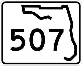
State Road 507 is a 4.9-mile-long (7.9 km), four-lane highway serving Melbourne and Palm Bay, Florida. It is also known locally as Babcock Street. The southern terminus is an intersection with Malabar Road in Palm Bay; the current northern terminus is an intersection with New Haven Avenue in Melbourne.
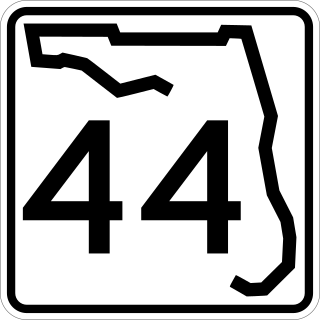
State Road 44 is an east–west state highway in the U.S. state of Florida. It runs from Crystal River on the Gulf of Mexico east to New Smyrna Beach on the Atlantic Ocean, passing through Inverness, Wildwood, Leesburg and DeLand.

Flagler Street is a 12.4-mile (20.0 km) main east–west road in Miami. Flagler Street is the latitudinal baseline that divides all the streets on the Miami-Dade County grid plan as north or south streets. Flagler Street is named after industrialist Henry Flagler and serves as a major commercial east–west highway through central Miami-Dade County, with a mixture of residential neighborhoods and strip malls, the commercial presence increasing as SR 968 approaches downtown Miami.

Interstate 95 (I-95) is the main Interstate Highway of Florida's Atlantic Coast. It begins at a partial interchange with US Highway 1 (US 1) just south of downtown Miami and heads north through Jacksonville, and to the Georgia state line at the St. Marys River near Becker. The route also passes through the cities of Fort Lauderdale, West Palm Beach, Port St. Lucie, Titusville, and Daytona Beach.
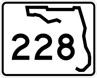
State Road 228 (SR 228) is a 32.532-mile-long (52.355 km) state highway in the northeastern part of the U.S. state of Florida. It exists in two distinct sections, separated by both Baker County Road 228 and Duval CR 228, which are former segments of SR 228.
State Road 115 is a state highway in the U.S. state of Florida.

U.S. Highway 1 (US 1) in Florida runs 545 miles (877 km) along the state's east coast from Key West to its crossing of the St. Marys River into Georgia north of Boulogne and south of Folkston. US 1 was designated through Florida when the U.S. Numbered Highway System was established in 1926. With the exception of Monroe County, the highway runs through the easternmost tier of counties in the state, connecting numerous towns and cities along its route, including nine county seats. The road is maintained by the Florida Department of Transportation (FDOT).

U.S. Highway 19 (US 19) runs about 262 miles (422 km) along Florida's west coast from an interchange with US 41 in Memphis, south of Tampa, and continues to the Georgia border north of Monticello.

U.S. Route 441 (US 441) in Florida is a north–south United States Highway. It runs 433 miles (697 km) from Miami in South Florida northwest to the Georgia state line, with the overall route continuing to Tennessee in the Rocky Top area.
Several special routes of U.S. Route 1 (US 1) exist, from Florida to Maine. In order from south to north, separated by type, these special routes are as follows.


