
Interstate 4 (I-4) is an Interstate Highway located entirely within the US state of Florida, maintained by the Florida Department of Transportation (FDOT). Spanning 132.30 miles (212.92 km) along a generally southwest–northeast axis, I-4 is entirely concurrent with State Road 400 (SR 400). In the west, I-4 begins at an interchange with I-275 in Tampa. I-4 intersects with several major expressways as it traverses Central Florida, including US Highway 41 (US 41) in Tampa; US 301 near Riverview; I-75 near Brandon; US 98 in Lakeland; US 27 in unincorporated Davenport; US 192 in Celebration; Florida's Turnpike in Orlando; and US 17 and US 92 in multiple junctions. In the east, I-4 ends at an interchange with I-95 in Daytona Beach, while SR 400 continues for roughly another four miles (6.4 km) and ends at an intersection with US 1 on the city line of Daytona Beach and South Daytona.

State Road 528 (SR 528), alternatively named the Martin Andersen Beachline Expressway, is a partially-tolled state road in the U.S. state of Florida; it is maintained by the Florida's Turnpike Enterprise (FTE), the Central Florida Expressway Authority (CFX), and the Florida Department of Transportation (FDOT). Spanning approximately 53 miles (85 km) along a west–east axis, it connects Interstate 4 (I-4) in Orlando with I-95, Titusville, and Cape Canaveral on the Space Coast. It passes close to the tourist areas of Orlando, including SeaWorld and Universal Orlando, and serves the north entrance to Orlando International Airport. Near its east end, it passes over the Intracoastal Waterway on the Emory L. Bennett Causeway, and ends at SR A1A and SR 401 near Port Canaveral.
State Road 408 (SR 408), officially named the Spessard L. Holland East–West Expressway, is a tolled expressway running east–west through Orlando, Florida, United States. It is owned and operated by the Central Florida Expressway Authority (CFX), except for the westernmost mile (1.5 km), which is owned by Florida's Turnpike Enterprise as a connection to Florida's Turnpike. The road runs from the Turnpike in Gotha, east through downtown Orlando, where it intersects with I-4, ending near SR 50 south of the University of Central Florida. The road is named for Spessard L. Holland.

U.S. Route 92 or U.S. Highway 92 is a 181-mile (291 km.) U.S. Route entirely in the U.S. state of Florida. The western terminus is at US 19 Alt. and SR 687 in downtown St. Petersburg. The eastern terminus is at SR A1A in Daytona Beach.
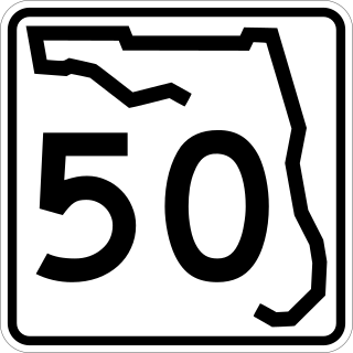
State Road 50 runs across the center of the U.S. state of Florida through Orlando, with its termini at SR 55 at Weeki Wachee and SR 5 in Titusville.

State Road 536, named World Center Drive for its entire length, is an east-west state highway that extends from Interstate 4 (I-4) near the EPCOT theme park to SR 535 in Lake Buena Vista, with the road continuing east to SR 417 and International Drive.
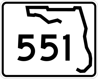
State Road 551, locally known as Goldenrod Road and Palmetto Avenue, forms a north–south surface street bypass of Orlando to the east.
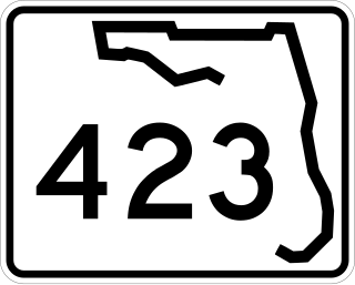
State Road 423, known for most of its length as John Young Parkway, and Lee Road east of Orange Blossom Trail, is a four- and six-lane surface road in the U.S. state of Florida. SR 423 runs from SR 408 north to U.S. Routes 17/92 (US 17/92) just east of Interstate 4 (I-4).
State Road 429 (SR 429), also known as the Daniel Webster Western Beltway or Western Expressway south of US 441, and the Wekiva Parkway north of US 441, is a controlled-access toll road built and maintained by the Central Florida Expressway Authority (CFX), the Florida's Turnpike Enterprise, and the Florida Department of Transportation (FDOT). Its mainline currently extends 51.77 miles (83.32 km) from I-4 (SR 400) in Four Corners north to I-4 in Sanford. Control cities are Apopka and Tampa although the control cities for traffic at the entrances at US 441 and north are Orlando, Tampa, and Daytona Beach. SR 429 was originally planned as a western half of SR 417.

International Drive, commonly known as I-Drive, is a major 11.1-mile (17.9 km) thoroughfare in Orlando, Florida, United States, and is the city's main tourist strip. I-Drive is located several miles southwest of proper Downtown Orlando in the southernmost limits of the city. The International Drive area serves a similar purpose to that of the Las Vegas Strip in Las Vegas as the core of the tourism area.
Apopka-Vineland Road is the name of several roads in Orange County, Florida, roughly forming a line from Apopka south to Vineland. As of now, there is one gap, from Old Winter Garden Road to State Road 50, which contains a residential neighborhood and State Road 408, the tolled East-West Expressway.
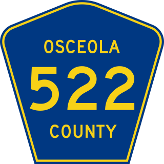
Osceola Parkway, signed as County Road 522 (CR 522) since around 2003, is a 17.5-mile-long (28.2 km), partially tolled arterial road extending east–west across the northern boundary of Osceola County, Florida, roughly paralleling the border with Orange County. It connects Walt Disney World with Interstate 4 and Florida's Turnpike before terminating at Simpson Road near Buenaventura Lakes, and is maintained by Osceola County. Only the section between the Southern Connector and a toll plaza east of Shingle Creek is tolled; the rest includes mainly at-grade intersections. A portion of the Osceola Parkway was once called Dart Boulevard.

State Road 482, named Sand Lake Road and McCoy Road, is an east–west state highway in south Orlando, Florida, United States. It is a surface road providing access to some of Orlando's biggest tourist attractions.

State Road 404 (SR 404), the Pineda Causeway, is an east–west divided highway currently running from Interstate 95 (I-95) to SR A1A at Patrick Space Force Base, Florida, US. It was opened as a toll road in 1971 and classified as a state road two years later. The tolls were removed in 1990. It was named after Pineda, a former village east of Suntree on U.S. Route 1 (US 1). With interchanges at US 1 (SR 5), South Tropical Trail, and South Patrick Drive (SR 513), the Pineda Causeway is the primary access for Patrick Space Force Base and the southern end of Merritt Island. From US 1 to the eastern terminus, it is part of the Indian River Lagoon Scenic Highway system.
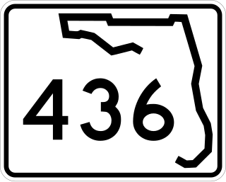
State Road 436, known as Semoran Boulevard for most of its length and Altamonte Drive in Altamonte Springs, is a north-south road in the Orlando area running from US 441 in Apopka to the Beachline Expressway near Orlando International Airport. Constructed in the late 1960s, the road passes through Seminole County, Florida and Orange County, Florida. Because of this, the common name for SR 436 is a portmanteau of the names of the two counties: "Sem" and "oran", hence "Semoran Boulevard." The common pronunciation of "Semoran" resembles that term of Cimarron.
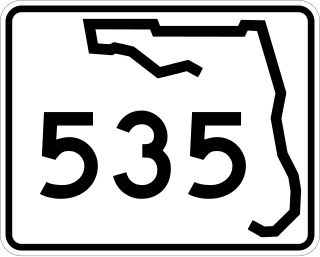
State Road 535 is a state highway in the U.S. state of Florida. The road begins at U.S. Route 192 (US 192) in Kissimmee, heading north, ending at Interstate 4 (I-4) at Lake Buena Vista. Continuing north the road becomes County Road 535. The road is known as Vineland Road in Osceola County and Apopka-Vineland Road in Orange County.
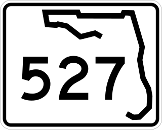
State Road 527 is a major arterial road through the Orlando MSA extending 20 miles (32 km) through Orange County. Its southern terminus is at SR 482.
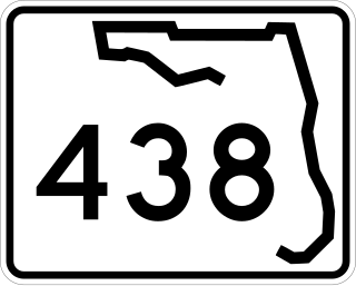
State Road 438 is an east–west state highway in Orange County, Florida. Its western terminus is an interchange with State Road 429 in Ocoee and it runs east to Rio Grande Avenue in Orlando. The road formerly extended further west to CR 455 near Montverde and further east to U.S. Route 17 (US 17) and US 92 in Orlando, for a historic total mileage of 22.00 miles (35.41 km). The current route is truncated to 10.144 miles (16.325 km).

U.S. Highway 17 (US 17) in Florida is a north–south United States Numbered Highway that runs 317 miles (510 km) from the Punta Gorda, Florida Metropolitan Statistical Area northeast to the Jacksonville metropolitan area.

U.S. Route 441 (US 441) in Florida is a north–south United States Highway. It runs 433 miles (697 km) from Miami in South Florida northwest to Tennessee in the Rocky Top area.

