
Vilshofen an der Donau is a town in the German district of Passau.

Roding is a town in the district of Cham, in Bavaria, Germany, near the Czech border.

Lauf an der Pegnitz is a town to the East of Nuremberg, Germany. It is the capital of the district Nürnberger Land, in Bavaria. It is in the valley of the River Pegnitz, which flows through the town.

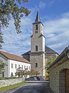
Kirchlauter is a municipality in the Bavarian Administrative Region of Lower Franconia in the district of Haßberge in Germany. It is a part of the Verwaltungsgemeinde of Ebelsbach.

Stadtbergen is a town in the district of Augsburg, in Bavaria, Germany. It is situated in the outskirts of Augsburg, 4 kilometres (2.5 mi) west of Augsburg city centre. Stadtbergen was granted town privileges in May 2007.

Heideck is a town with full legal town charter in the district of Roth, in Bavaria, Germany. It is situated in the Metropolitan Area of Nuremberg and at the same time in the Franconian Lake District.

Neunburg vorm Wald is a municipality in the district of Schwandorf, in Bavaria, Germany. It is situated 21 km east of Schwandorf on the river Schwarzach, a tributary of the Naab.

Wörth an der Donau is a town in the district of Regensburg, in Bavaria, Germany. It is situated on the left bank of the Danube, 22 km east of Regensburg.

Hahnbach is a municipality in the district of Amberg-Sulzbach in Bavaria in Germany. There are living at the moment about 5000 people. The most important districts are: Fronbergsiedlung, Friedhofsiedlung, Süd 3, Markt. About 2000 of the 5000 people are not living in Hahnbach by itself, they are living in villages like Dürnsricht or Iber, which are in the area of Hahnbach. SSince 2014, the Mayor of Hahnbach is Bernhard Lindner (CSU). The CSU is the most popular party in Hahnbach, at the last election they got more than 75% of the votes, at place two was the SPD with at least 20% of the votes. The most important objects of interest are the Amberger Tor and the Fahrraddenkmal, which shows a biker holding his bike. The church in Hahnbach is called St. Jakobus Church. The sports team is called SV Hahnbach.

Blaibach is a municipality in the district of Cham in Bavaria in Germany.
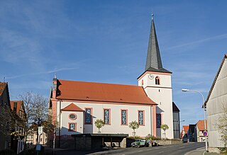
Wonfurt is a municipality in the district of Haßberge in Bavaria in Germany.

Leupoldsgrün is a municipality in Upper Franconia. It can be found in the district of Hof, which is part of Bavaria, Germany.

Guttenberg is a municipality in the district of Kulmbach in Bavaria in Germany.

Eching am Ammersee is a municipality in the district of Landsberg in Bavaria in Germany. It has a size of 6.15km2.

Ampfing is a municipality in the district of Mühldorf in Bavaria in Germany.

Speinshart is a municipality in the district of Neustadt an der Waldnaab in Bavaria, Germany. The municipality gained its name from the monastery Speinshart which was built between 1692 and 1697 by Wolfgang Dientzenhofer.

Trabitz is a municipality in the district of Neustadt an der Waldnaab in Bavaria, Germany.

Bad Griesbach im Rottal, or just Bad Griesbach, is a town in the district of Passau in Bavaria in Germany.
Stadtlauringen is a municipality in the district of Schweinfurt in Bavaria, Germany.

Frankenwinheim is a village in the district of Schweinfurt in Bavaria, Germany and part of Verwaltungsgemeinschaft Gerolzhofen.


 Gerolzhofen core city
 Market place
 Town hall

