Dora is an unincorporated community in Ozark County, in the U.S. state of Missouri. The ZIP Code for Dora is 65637.

Couch is a small, unincorporated community in Oregon County, Missouri, United States. It is located six miles south of Alton on Missouri Route A. The ZIP Code for Couch is 65690.
Bucyrus is an unincorporated community in central Texas County, Missouri, United States. It is located on Route 17, approximately three miles northwest of Houston. The ZIP Code for Bucyrus is 65444.
Falcon is an unincorporated community in eastern Laclede County, Missouri, United States. It is approximately sixteen miles east of Lebanon on Route 32. The Gasconade River lies just east of the community, which is within the Mark Twain National Forest. The community consists of a post office and two houses.

Valles Mines is an unincorporated community in southern Jefferson County, Missouri, United States. It is located approximately seven miles south of De Soto. It is located on Missouri Route V less than one mile west of U.S. Route 67. Joachim Creek flows past the north side of the community. The ZIP Code for Valles Mines is 63087.
Lonedell is an unincorporated community in southeastern Franklin County, Missouri, United States. It is at the intersection of Route 30 and routes N and FF and approximately eight miles east of St. Clair. The Little Meramac River flows just south of the community.
Beaufort is an unincorporated community in western Franklin County, Missouri, United States. It is located at the intersection of U.S. Route 50 and Route 185, approximately 11 miles (18 km) west of Union.

Loose Creek is an unincorporated community in Osage County, Missouri, United States. It is located north of U.S. Route 50, approximately eight miles east of Missouri's capital of Jefferson City. The ZIP Code for Loose Creek is 65054.
Rocky Mount is an unincorporated community in eastern Morgan County, Missouri, United States. It is located six miles southwest of Eldon, near the Lake of the Ozarks. The ZIP Code for Rocky Mount is 65072.
Eugene is an unincorporated community in extreme southwestern Cole County, Missouri, United States. As of the 2020 census, the population is 140. It is located 10 miles (16 km) east of Eldon on Route 17, approximately 3 miles (5 km) south of U.S. Route 54.
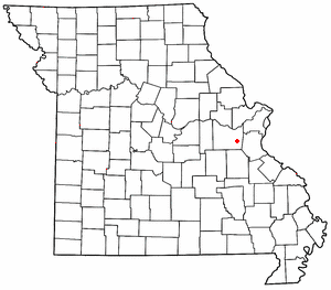
Marion is an unincorporated community in Cole County, Missouri, United States. Marion is in the northwest corner of the county, in historic Marion Township, and very near the post-1845 county boundary line with Moniteau County. The community is located on Missouri Route 179 and overlooks the Missouri River to the east.
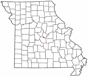
Osage City is an unincorporated community in Cole County, in the U.S. state of Missouri.
Decatur is an extinct town in Cole County, in the U.S. state of Missouri. The GNIS classifies it as a populated place.
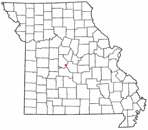
Hickory Hill is an unincorporated community in Cole County, in the U.S. state of Missouri.
Honey Creek is an unincorporated community in Cole County, in the U.S. state of Missouri.
Millbrook is an unincorporated community in Cole County, in the U.S. state of Missouri.
Stringtown is an unincorporated community in Cole County, in the U.S. state of Missouri.
Teal is an extinct town in Cole County, in the U.S. state of Missouri.
Hoecker is an unincorporated community in northeast Miller County, in the U.S. state of Missouri. The community is on a meander of the Osage River just south of the Miller-Cole county line. Henley is two miles to the west-northwest in Cole County and Meta is six miles to the east in Osage County.
Sandy Hook is an unincorporated community in Moniteau County, in the U.S. state of Missouri. The community is on the southwest bank of the Missouri River floodplain. It lies on Missouri Route 179 between Jamestown to the northwest and Marion to the southeast in Cole County.