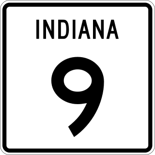
State Road 9 in the U.S. State of Indiana is a long north–south state highway in the eastern portion of Indiana. Its southern terminus is near Columbus at State Road 46, and the northern terminus is at the Michigan/Indiana border between Howe, Indiana, and Sturgis, Michigan, where it continues as M-66.

State Road 1 (SR 1) is a north–south state highway in eastern Indiana, consisting of two segments. Its southern segment begins at U.S. Highway 50 and Interstate 275 in east-central Dearborn County, just east of Lawrenceburg, and ends at Interstate 469 south of Fort Wayne. Its northern segment begins at Interstate 69 on Fort Wayne's north side, and ends at U.S. Route 20 in east-central Steuben County, approximately 6 miles (9.7 km) east of Angola.
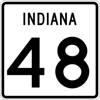
State Road 48 (SR 48) in the U.S. State of Indiana is an east–west state highway running through southern Indiana. It has three distinct and separate sections. The western terminus of SR 48 is at State Road 63 and the eastern terminus at U.S. Route 50.

State Road 101 in the U.S. state of Indiana is a north–south state highway in the eastern portion of Indiana that exists in four sections with a combined length of 79.42 miles (127.81 km).

Indiana State Road 44 (SR 44) in the State of Indiana begins in the west at Interstate 69 and State Road 37 (SR 37) in Martinsville and runs eastward to the Ohio state line in Union County in two broken sections. It is broken in Franklin from Indiana State Road 144 and Interstate 65.
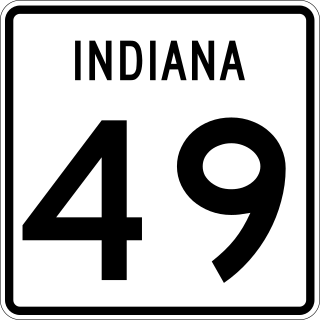
State Road 49 (SR 49) is a 44.15-mile (71.05 km), north–south state highway in the northwestern part of the U.S. state of Indiana. Its northern terminus is at an intersection with U.S. Route 12 in Porter near the entrance to Indiana Dunes State Park. The southern terminus is a rural intersection with State Road 14 in Barkley Township at Lewiston, 10 miles (16 km) northeast of Rensselaer.

State Road 56 in the U.S. state of Indiana is a route that travels the south central part of the state from west to east.

State Road 61 is a 64-mile (103 km) north–south route that runs through portions of three counties in the southwest part of the U.S. State of Indiana.
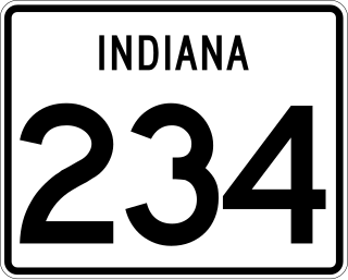
State Road 234 exists in two sections in Indiana. The western portion begins at the Illinois border from a Vermilion County, Illinois, county road. It runs east from there to U.S. Route 136 (US 136) near Jamestown. Much of the route is a scenic, two-lane road with very tight turns. The primary access to Shades State Park is located along SR 234.

State Road 236 in the U.S. State of Indiana exists in two sections. The western section starts at U.S. Route 41 (US 41) in Parke County, and runs eastward, paralleling its parent that lies to the south, U.S. Route 36 (US 36). In western Hendricks County it then turns to the southeast and ends at State Road 39 (SR 39), only two miles north of that road's intersection with US 36 in Danville.
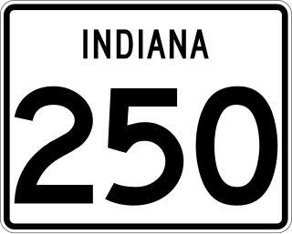
State Road 250 (SR 250) in the U.S. State of Indiana is a secondary route that runs from U.S. Route 50 (US 50) in Brownstown eastward toward the Ohio River at State Road 156 (SR 156) in Patriot in southeast Indiana. Towns include Uniontown, Paris Crossing, Canaan, and East Enterprise. SR 250 is split in two north of Madison due to the Big Oaks National Wildlife Refuge.
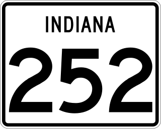
State Road 252 (SR 252) in the U.S. state of Indiana consists of two segments. The western stretch runs from Interstate 69 and State Road 37 in Martinsville to Interstate 65 near Edinburgh. The eastern stretch is from U.S. Route 52/State Road 1 in Brookville to the Ohio state line near Scipio, Ohio.

State Road 25 is a highway in the U. S. state of Indiana. Although it is designated a north–south road, in practice it travels generally northeast from its southern terminus at State Road 32 to its northern terminus at State Road 15 in Warsaw.

State Road 550 exists in two portions. The western section is completely within Knox County and has a western terminus east of Emison at U.S. Route 41/U.S. Route 150 and runs southeasterly to the U.S. Route 50/US 150 concurrency in Wheatland. The eastern section terminates at both ends at US 150 in Martin County between Loogootee and Lacy.

State Route 56 (SR 56) is an inverted question mark-shaped state highway that travels south-to-north, with a western loop around Vidalia. It is 140.3-mile-long (225.8 km) and travels through portions of Tattnall, Toombs, Montgomery, Treutlen, Emanuel, Burke, and Richmond counties in the southeastern and east-central parts of the U.S. state of Georgia. The route connects the Reidsville and Augusta areas, via Swainsboro and Waynesboro.
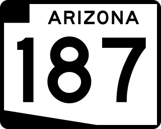
State Route 187, also known as SR 187, is a state highway in south-central Arizona traveling from State Route 387 north of Casa Grande north to its junction with State Route 87 near Sacaton. The entire stretch of road runs in the Gila River Indian Reservation and is approximately 5 miles (8.0 km) long. It is a short-cut for traffic heading toward the southeast valley of Phoenix in case of an accident on westbound Interstate 10.
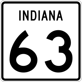
State Road 63 (SR 63) in the U.S. state of Indiana is a north–south route in the western portion of the state. Until mid-2008, it covered a distance of just over 96 miles (154 km), but now is a discontinuous route. For 63 miles (101 km), from the city of Terre Haute until it rejoins U.S. Route 41 (US 41) near Carbondale, it is a four-lane divided highway and replaces US 41 as the major north–south artery in this portion of the state.

State Route 273 is a state highway in Apache County, Arizona that runs from its junction with SR 260 west of Eagar to its junction with SR 261 north of Big Lake. It winds through the forest but is overall a north–south route.

State Road 119 exists as two separate roads in the U.S. state of Indiana. The road is a rural surface highway for the entire length of both sections.

U.S. Route 231 is the longest numbered highway in Indiana, covering over 284 miles (457 km). It is a main north–south highway in the western part of the state. The southern terminus of US 231 is at the Kentucky state line and the northern terminus is at US 41 just south of St. John. The highway is a mixture of expressway and two-lane roadway. The expressway portions exist mainly in southern Indiana and around the Lafayette area, with the rest mainly being two lanes.


