
Union County is a county located in the U.S. state of Ohio. As of the 2020 census, the population was 62,784. Its county seat is Marysville. Its name is reflective of its origins, it being the union of portions of Franklin, Delaware, Madison, and Logan counties.
Pike County is a county in the southwest portion of the U.S. state of Indiana. As of the 2010 United States census, the population was 12,845. The county seat is Petersburg. It contains the geographic point representing median center of US population in 2010.

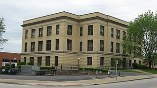
Marysville is a city in and the county seat of Union County, Ohio, United States, approximately 27 miles (44 km) northwest of Columbus. The population was 22,094 at the 2010 census, a 38.59% increase from 2000.
Marysville may refer to several places:
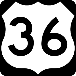
U.S. Route 36 (US 36) is an east–west United States highway that travels approximately 1,414 miles (2,276 km) from Rocky Mountain National Park, Colorado to Uhrichsville, Ohio. The highway's western terminus is at Deer Ridge Junction, an intersection in Rocky Mountain National Park, Colorado, where it meets US 34. Its eastern terminus is at US 250 in Uhrichsville, Ohio.

Patoka Township is one of nine townships in Pike County, Indiana, United States. As of the 2010 census, its population was 3,062 and it contained 1,358 housing units.

Pikes Peak Ocean to Ocean Highway was an early coast-to-coast highway in the United States. The completed route went from New York City to Los Angeles, and was in direct competition with the Lincoln Highway and the National Old Trails Road. Its route markers were marked PP-OO.

Southwestern Indiana is an 11-county region of southern Indiana, United States located at the southernmost and westernmost part of the state. As of the 2010 census, the region's combined population is 474,251. Evansville, Indiana's third-largest city, is the primary hub for the region, as well as the primary regional hub for a tri-state area that includes Kentucky and Illinois. Other regional hubs include Jasper, Vincennes, and Washington. Although part of a Midwestern state, this region's culture and language is aligned more with that of the Upland South rather than the Midwest.

Nabb is an unincorporated community in Clark and Scott counties, in the U.S. state of Indiana.

Otwell is an unincorporated census-designated place in Jefferson Township, Pike County, in the U.S. state of Indiana.

Pike is an unincorporated community in Washington Township, Boone County, in the U.S. state of Indiana.
Marysville is an unincorporated community in Oregon Township, Clark County, Indiana.
Stendal is an unincorporated community and census designated place in southern Lockhart Township, Pike County, Indiana, United States. It lies along State Road 257, southeast of the city of Petersburg, the county seat of Pike County. Although Stendal is unincorporated, it has a post office, with the ZIP code of 47585.

Lena is an unincorporated community in southern Jackson Township, Parke County, in the U.S. state of Indiana. A portion of Lena also extends into Clay County, just north of Carbon. This portion of Lena is referred to as Marysville.

Algiers is an unincorporated community in Jefferson Township, Pike County, in the U.S. state of Indiana.

Arthur or Arthur Junction due to its location at the junction of Indiana 61 and Indiana 64, is a Census designated place in Patoka Township, Pike County, in the U.S. state of Indiana.

Pikeville is an unincorporated community in Lockhart Township, Pike County, in the U.S. state of Indiana.

The Cincinnati metropolitan area is a metropolitan area centered on Cincinnati and including surrounding counties in the U.S. states of Ohio, Kentucky, and Indiana. The area is commonly known as Greater Cincinnati.
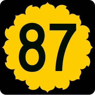
K-87 is a 8.625-mile-long (13.881 km) north–south state highway in the U.S. state of Kansas. The highway runs from the end of state maintenance, where it continues as 26th Road, in the community of Vliets north to U.S. Route 36 (US 36) west of the community of Baileyville. The highway travels through farmlamd and is a two-lane highway its entire length.


