Route 85 | ||||
|---|---|---|---|---|
 MO 85 highlighted in red | ||||
| Route information | ||||
| Maintained by MoDOT | ||||
| Length | 3.966 mi [1] (6.383 km) | |||
| Major junctions | ||||
| South end | ||||
| North end | ||||
| Location | ||||
| Country | United States | |||
| State | Missouri | |||
| Highway system | ||||
| ||||

Route 85 is a short highway in Gentry County.
Route 85 | ||||
|---|---|---|---|---|
| MO 85 highlighted in red | ||||
| Route information | ||||
| Maintained by MoDOT | ||||
| Length | 3.966 mi [1] (6.383 km) | |||
| Major junctions | ||||
| South end | ||||
| North end | ||||
| Location | ||||
| Country | United States | |||
| State | Missouri | |||
| Highway system | ||||
| ||||
Route 85 is a short highway in Gentry County.
Its northern terminus is at U.S. Route 136 in Albany; its southern terminus is at Evona where the highway becomes Route A. No other towns are on the route.
| | This section is empty. You can help by adding to it. (May 2021) |
The entire route is in Gentry County
| County | Location | mi [1] | km | Destinations | Notes |
|---|---|---|---|---|---|
| Gentry | Evona | 0.000 | 0.000 | ||
| Albany | 3.414 | 5.494 | Southern end of US-Bus 136 overlap | ||
| 3.966 | 6.383 | Northern end of US-Bus 136 overlap | |||
1.000 mi = 1.609 km; 1.000 km = 0.621 mi
| |||||
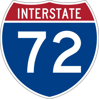
Interstate 72 (I-72) is an Interstate Highway in the midwestern United States. Its western terminus is in Hannibal, Missouri, at an intersection with U.S. Route 61 (US 61); its eastern terminus is at Country Fair Drive in Champaign, Illinois. The route runs through the major cities of Decatur, Illinois, and Springfield, Illinois. In 2006, the Illinois General Assembly dedicated all of I-72 as Purple Heart Memorial Highway. The stretch between Springfield and Decatur is also called Penny Severns Memorial Expressway, and the section between mile 35 and the Mississippi River is known as the Free Frank McWorter Historic Highway.

K-171 is a state highway in the southeastern part of the U.S. state of Kansas. The 4.890-mile (7.870 km) highway mostly lies on the Crawford County/Cherokee County line except for the easternmost 0.4 miles (0.64 km) of the highway when it is entirely in Cherokee County. Its western terminus is at the intersection of U.S. Route 69 (US-69), US-160 and US-400 south of Pittsburg and its eastern terminus is a continuation as Missouri Route 171 at the Missouri state line near Opolis. K-171's current route was established on May 14, 2003, and the routing has not changed since.

Route 94 serves eastern and central Missouri. The entire route closely parallels the Missouri River. The eastern terminus is at U.S. Route 67 in West Alton; its western terminus is at the intersection of U.S. Route 54 and U.S. Route 63 in Jefferson City.

Route 122 is a short highway in central Missouri. Its eastern terminus is at Route 41 in Fairville, which is halfway between Miami and Marshall. The western terminus is at Van Meter State Park. The total length of the highway is about five miles (8 km).
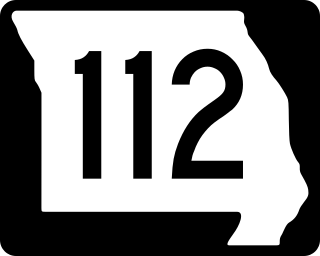
Route 112 is a highway in southwestern Missouri. Both termini are with Route 37. The northern terminus is in Cassville and the southern terminus is in Seligman. There are no other towns on the route, but Roaring River State Park is located about ten miles (16 km) south of Cassville on the route.
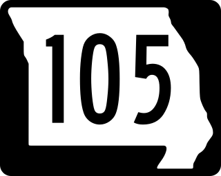
Route 105 is a highway in Mississippi County, Missouri. Its northern terminus is at Interstate 57/U.S. Route 60 in Charleston; its southern terminus is at Route 80 in East Prairie. Other than the two termini, no other towns are on the route.

Route 109 is a state highway in St. Louis County, Missouri and Jefferson County, Missouri. Its northern terminus is at Wild Horse Creek Road in Chesterfield; its southern terminus is at Routes W and FF in Jefferson County. The road continues north, curves around Spirit of St. Louis Airport and connects with Chesterfield Airport Road, providing a "backway" to the Chesterfield area.

Route 91 is a short highway in southeastern Missouri. Its northern terminus is at Route 51 in Bollinger County; its southern terminus is at U.S. Route 61 in Morley. The last 22 miles (35 km) southbound run east, not south.

Route 41 is a highway in central Missouri. Its northern terminus is at U.S. Route 24 in southern Carroll County; its southern terminus is at Interstate 70/U.S. Route 40 west of Boonville, where the road continues south as Route 135.

Route 103 is a short highway in southeastern Missouri. Its southern terminus is at Route Z inside the Ozark National Scenic Riverways. The route travels north and intersects a few county roads as it leaves the national park. The road ends at U.S. Route 60 in a three-way junction. After being proposed in 1930, a road was built from the national park to US 60 in 1933. The gravel road was designated as Route 103, and it was paved five years later.

Route 33 is a highway in western Missouri. Its northern terminus is at Route 6 in Maysville; its southern terminus is at U.S. Route 69 in Liberty.
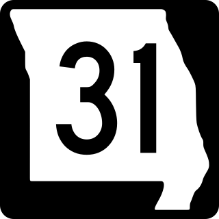
Route 31 is a highway in northwestern Missouri. Its northern terminus is at U.S. Route 169 in northwestern De Kalb County; its southern terminus is at US 169 southeast of St. Joseph.

Route 48 is a state highway in northwestern Missouri. Its western terminus is located at U.S. Route 71 north of Savannah. The route travels eastward across the communities of Rosendale, Rea, and Whitesville. The road ends at US 169 in King City, about 20 miles (32 km) from its western terminus. The road was designated around 1926, and was completely laid down with gravel by 1936 and paved in asphalt by 1942.
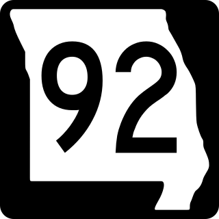
Route 92 is a highway in Platte and Clay counties in northwestern Missouri, United States. Its western terminus is a continuation of K-92 on the Centennial Bridge over the Missouri River at the Kansas state line, and the eastern terminus is at U.S. Route 69 in northern Excelsior Springs.
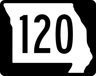
Route 120 is a short highway in Holt County. Its eastern terminus is at Route B about eight miles (13 km) northeast of Oregon. Its western terminus is at U.S. Route 59 about three miles (5 km) west of its eastern terminus. No towns are on the highway.
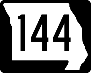
Route 144 is a 2.956-mile-long (4.757 km) state route in Ste. Genevieve County, Missouri. Its western terminus is at Route 32 near the village of Millers. The route travels southeastward toward Hawn State Park. The road then turns east and ends at Bauer Road and Park Drive, inside the state park. The route was designated in 1972, and has kept the same alignment since.

Route 117 is a short highway in Dent County. Its northern terminus is at Route 19 northeast of Salem; its southern terminus is in Indian Trail Conservation Area.

Arkansas Highway 59 is a north–south state highway in Northwest Arkansas. The route runs 93.24 miles (150.06 km) from Arkansas Highway 22 in Barling north to the Missouri state line through Van Buren, the county seat of Crawford County. Highway 59 parallels US 59 between Siloam Springs and Fort Smith. Since US 59 goes through Arkansas, AR 59 is the only Arkansas state highway to share its numbering with a federal highway that goes through Arkansas.

Arkansas Highway 25 is a northeast–southwest state highway in north central Arkansas. The route runs 85.66 miles (137.86 km) from US 64 in Conway to US 63/412 in Black Rock through Greers Ferry, Batesville, and the foothills of The Ozarks.
State Route 79 is a 10.37-mile-long (16.69 km) state highway in southwestern Lake County, Tennessee. SR 79 has a dual primary and secondary designation and is one of a few state routes in Tennessee to have an aggregate (gravel) road surface.
| | This Missouri road-related article is a stub. You can help Wikipedia by expanding it. |