
State Route 221 is a state highway in Elko County, Nevada. The route, concurrent with Interstate 80 Business follows Chestnut Street in the city of Carlin. The highway was once part of the former route of State Route 1 and former U.S. Route 40 (US 40).
State Route 223 is a state highway in Elko County, Nevada, United States. Co-signed with Interstate 80 Business, it serves the town of Wells.

State Route 231 is an unsigned state highway in Elko County, Nevada, United States. Known as Angel Lake Road, the highway connects Angel Lake to the town of Wells. SR 231 is a Nevada Scenic Byway.

State Route 278 is a state highway in Nevada. It runs from U.S. Route 50 near Eureka north to Interstate 80 (I-80) in Carlin.

State Route 289 (SR 289) is a 1.637-mile (2.634 km) state highway in southern Humboldt County, Nevada, United States. The route serves the city of Winnemucca and the route's western end runs concurrent with Interstate 80 Business (I‑80 Bus.).
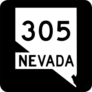
State Route 305 is a state highway in Lander County, Nevada. It is the only state highway to connect the southern and northern areas of the county. It runs north from U.S. Route 50 at Austin to Battle Mountain, where it crosses Interstate 80 and ends at State Route 304.

State Route 306 is a 30.631-mile (49.296 km) state highway in Lander and Eureka counties in northern Nevada, United States. It connects the mining area of Gold Acres in Lander County to Interstate 80 (I-80) at the Beowawe Interchange near Beowawe in Eureka County via Crescent Valley. The road has been a state highway since the 1920s, having been established as part of a much longer State Route 21 by 1929.

State Route 340 is a short state highway in Lyon County, Nevada. The route covers a portion of Bridge Street in the city of Yerington.

State Route 400 is a state highway in central Pershing County, Nevada. It connects the rural town of Unionville to Mill City. The route originally extended further south under its prior designation as State Route 50.
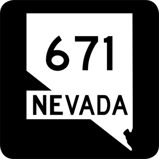
State Route 671 is a state highway in Washoe County, Nevada. It runs along Holcomb Lane and portions of Lakeside Drive and Huffaker Lane in an agricultural area of southern Reno.

State Route 398 is a state highway in Pershing County, Nevada serving the city of Lovelock. Part of the highway is former State Route 66.
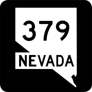
State Route 379 covers Duckwater Road, a 19.532-mile (31.434 km) state highway in Nye County, Nevada, United States. The route serves the Duckwater Indian Reservation, connecting the community of Duckwater to U.S. Route 6 at Currant. The highway was formerly a part of State Route 20 prior to the 1970s.

State Route 520 was a short state highway in Carson City, Nevada. The route served the central portion of the city, providing access to several government buildings in the capitol district. It was turned over to local control in 2010.
State Route 535 (SR 535) is the Nevada Department of Transportation (NDOT) designation for two discontinuous sections of Idaho Street just west of and within the small city of Elko in the northeastern part of the U.S. state of Nevada. Both segments are also signed as Interstate 80 Business, which is also signed along the city-maintained segment of Idaho Street between the two NDOT segments as well as the city-maintained segment of Idaho Street east of the final eastern terminus all the way to East Jennings Way, from which it connects to the Elko East exit on Interstate 80. Most of Interstate 80 Business in Elko, including both segments of SR 535, were formerly designated U.S. Route 40.

State Route 795 is a short state highway in southern Humboldt County, Nevada, United States. One of Nevada's newest state routes, SR 795 primarily serves as a connector road north of Winnemucca.

State Route 789 is a state highway in Humboldt County, Nevada connecting the town of Golconda to nearby mining districts. Much of the route previously existed as State Route 18 prior to 1976.

State Route 806 is a short state highway in Lander County, Nevada connecting the town of Battle Mountain to North Battle Mountain. Prior to 1976, the route was part of a longer State Route 18A.
State Route 794 (SR 794) is a 2.439-mile (3.925 km)state highway in Humboldt County, Nevada, United States. The highway primarily serves as a connector road east of Winnemucca and, for all but the very east end of the route, SR 794 is concurrent with Interstate 80 Business as it runs along East Winnemucca Boulevard.


