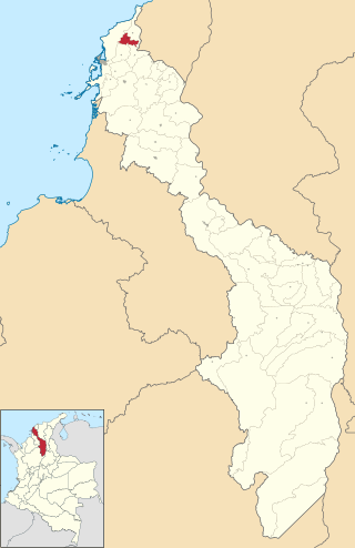
Don Matías is a municipality in Antioquia Department, Colombia. Part of the subregion of Northern Antioquia. Bordered to the north by the municipality of Santa Rosa de Osos, to the east by the municipalities of Santa Rosa de Osos and Santo Domingo, to the south by the municipality of Barbosa, and to the west by the municipality of San Pedro de los Milagros.

Ebéjico is a town and municipality in the West of Antioquia Department, Colombia. The population was 10,338 at the 2018 census.
Fredonia is a town and municipality in the Colombian department of Antioquia. It is part of the sub-region of Southwestern Antioquia. According to the 2018 census, the population comprises 18,790 people.
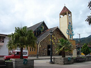
Gómez Plata is a town and municipality in the Colombian department of Antioquia. It is part of the subregion of Northern Antioquia. The population was 8,235 at the 2018 census.

Jericó is a town, municipality and Catholic bishopric in the Colombian department of Antioquia. It is part of the subregion of Southwestern Antioquia. The distance reference from Medellín city, the capital of the department, is 104 km. It lies 1,910 m above sea level.

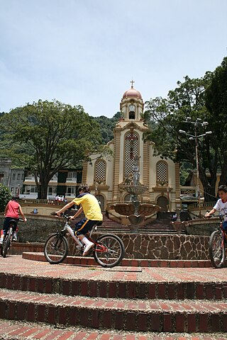
La Estrella is a town and municipality in Antioquia Department, Colombia. La Estrella is part of The Metropolitan Area of the Aburrá Valley. The population was estimated to be 75,517 in 2020.

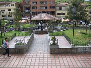
Titiribí is a town and municipality in the Colombian department of Antioquia. Located at an elevation of 1,550 m above sea level, it is part of the sub-region of Southwestern Antioquia.

Venecia is a town and municipality in Antioquia Department, Colombia. According to the 2018 census, the population comprised 10,280 people.

San Rafael is a town and municipality in Antioquia Department, Colombia. Part of the subregion of Eastern Antioquia.
Clemencia is a town and municipality located in the Bolívar Department, northern Colombia.

Santa Cruz de Lorica is a town and municipality located in the Córdoba Department, northern Colombia.

Salamina is a town and municipality in the Colombian department of Caldas. It is located north of the department and has a township called San Felix. It was declared a national monument and historic heritage of mankind.

Paéz is a municipality in the Cauca Department, Colombia. The town of Belalcazar, is the main urban center of the Municipality. It was founded in 1905 by Valencia, Mosquera and Lemus. The town is located by the steps of the Nevado del Huila Volcano, the municipality borders to the northeast with the Tolima Department, to the west with the Huila Department, southwest with the municipality of Inza, to the west with the municipalities of Silvia and Jambalo and to the north with the municipality of Toribio covering a total area of 1,258 km2 (486 sq mi).
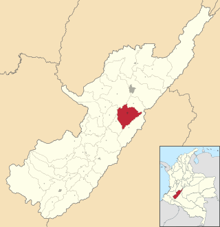
Campoalegre is a town and municipality in the Huila Department, Colombia.
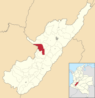
Iquira is a town and municipality in the Huila Department, Colombia.
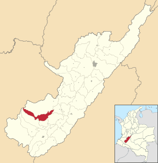
La Argentina is a town and municipality in the Huila Department, Colombia.

Oporapa is a town and municipality in the Huila Department, Colombia.

Santa María is a town and municipality in the Huila Department, Colombia.
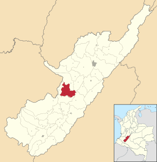
Tesalia is a town and municipality in the Huila Department, Colombia.
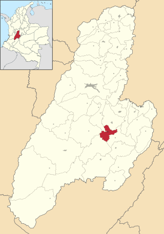
Saldaña is a town and municipality in the Tolima department of Colombia. Saldaña is where nearly 30% of Colombian rice is grown, and most of them work in the rice business. The population of the municipality was 14,273 as of the 1993 census.


