
U.S. Route 91 or U.S. Highway 91 (US-91) is a 172.663-mile-long (277.874 km) north–south United States highway running from Brigham City, Utah, to Idaho Falls, Idaho, in the U.S. states of Idaho and Utah. Despite the "1" as the last digit in the number, US-91 is no longer a cross-country artery, as it has mostly been replaced by Interstate 15. The highway currently serves to connect the communities of the Cache Valley to I-15 and beyond. Prior to the mid-1970s, US 91 was an international commerce route from Long Beach, California, to the Canada–US border north of Sweetgrass, Montana. US 91 was routed on the main streets of most of the communities it served, including Las Vegas Boulevard in Las Vegas and State Street in Salt Lake City. From Los Angeles to Salt Lake, the route was built along the corridor of the Arrowhead Trail. A portion of the highway's former route in California is currently State Route 91.

Interstate 515 (I-515) is a 14.444-mile-long (23.245 km) spur route of I-15 in the US state of Nevada that runs from the junction of I-11, I-215, and State Route 564 (SR 564) at the Spaghetti Bowl Interchange in Henderson to the junction of I-15, U.S. Route 93 (US 93), and US 95 at the Las Vegas Spaghetti Bowl Interchange in Downtown Las Vegas. The freeway connects traffic headed from Boulder City and Henderson to Downtown Las Vegas via a direct, high-speed route, and it runs concurrently with both US 93 and US 95 along its entire length.
The Las Vegas Beltway is a 50-mile (80 km) beltway route circling three-quarters of the Las Vegas Valley in southern Nevada. The Las Vegas Beltway carries two numerical designations. Approximately 12.8 miles (20.6 km) of the highway, from its southern terminus at Interstate 11 (I-11) / I-515 / U.S. Route 93 (US 93) / US 95 in Henderson west and northwest to I-15, is signed as Interstate 215 (I-215) and maintained by the Nevada Department of Transportation. Clark County Route 215 (CC 215) composes the remaining 37.2 miles (59.9 km) of this semi-circumferential highway, with the county's Department of Public Works responsible for all construction and maintenance.

State Route 159 is a 31.204-mile (50.218 km) east–west highway in Clark County, Nevada, United States, providing access to Red Rock Canyon and serving as a thoroughfare in the Las Vegas metropolitan area. A portion of the west end of the route is designated a Nevada Scenic Byway.
Las Vegas Boulevard is a major road in Clark County, Nevada, United States, best known for the Las Vegas Strip portion of the road and its casinos. Formerly carrying U.S. Route 91 (US 91), which had been the main highway between Los Angeles, California and Salt Lake City, Utah, it has been bypassed by Interstate 15 and serves mainly local traffic with some sections designated State Route 604.

State Route 147 is a state highway serving the Las Vegas Valley in southern Nevada. It is signed as Lake Mead Boulevard and runs from Interstate 15 (I-15) and U.S. Route 93 in North Las Vegas east to the border of the Lake Mead National Recreation Area. It is not to be confused with Lake Mead Parkway, which also goes to Lake Mead but mainly runs in southern Las Vegas Valley and carries the designation of State Route 564.

Sahara Avenue is a major east-west roadway in the Las Vegas Valley. The former State Route 589 (SR 589) comprised a large portion of the street. The roadway is named after the Sahara Hotel and Casino, which itself is named after the Sahara desert. The casino is located on Las Vegas Boulevard where the boulevard intersects with Sahara Avenue.
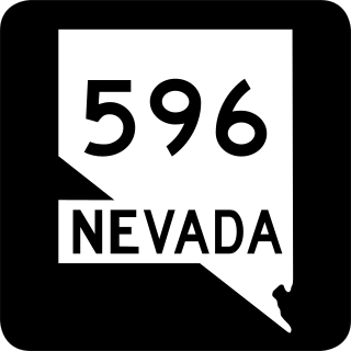
Jones Boulevard is a section line arterial that runs north and south through the Las Vegas Valley. A 4.088-mile (6.579 km) portion of the road is designated State Route 596 (SR 596).
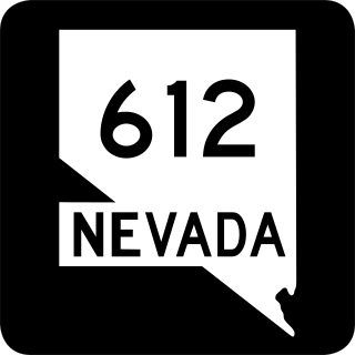
State Route 612 is a state highway in Clark County, Nevada. It comprises about 9.4 miles (15.1 km) of the major north–south section line arterial Nellis Boulevard in the eastern Las Vegas Valley.

State Route 610 is a state highway in Clark County, Nevada. It comprises a small portion of Lamb Boulevard in the northeastern Las Vegas Valley.

State Route 160 is a state highway in southern Nevada, United States. It connects the southern Las Vegas Valley to U.S. Route 95 northwest of the city via the Pahrump Valley. The southern part of the route sees heavy traffic, mostly due to Pahrump's continued growth as a Las Vegas bedroom community.

State Route 574 is a major east–west section line arterial roadway in the Las Vegas Valley of Nevada. It comprises approximately 10.668 miles (17.168 km) of Cheyenne Avenue in northern Las Vegas and North Las Vegas.
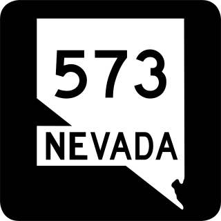
State Route 573 comprises two sections of Craig Road, a major east–west arterial roadway in the Las Vegas valley.
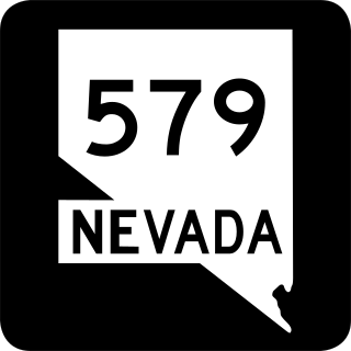
State Route 579 is a state highway in Clark County, Nevada. It follows a portion of Bonanza Road near the downtown area of Las Vegas. The route encompasses a small portion of former State Route 5 and the entirety of former State Route 5A, and also carried U.S. Route 95 before it was relocated to its present freeway alignment.

Tropicana Avenue is a major east–west section line arterial in the Las Vegas area. The road is named after Tropicana Las Vegas which is located on Las Vegas Boulevard where it intersects with Tropicana Avenue. Part of it is signed as Nevada State Route 593.
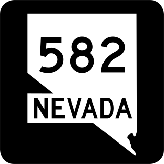
State Route 582 (SR 582) is a major 15.392-mile-long (24.771 km) highway in the Las Vegas Valley. The highway is the former route of U.S. Route 93 (US 93) and US 95 before they were moved to the current freeway alignment shared with Interstate 11 (I-11) and Interstate 515 (I-515). Known primarily as Boulder Highway, the route connects Downtown Las Vegas with Henderson and Boulder City to the southeast.

State Route 562 is an east–west highway in the Las Vegas Valley that comprises a portion of Sunset Road.
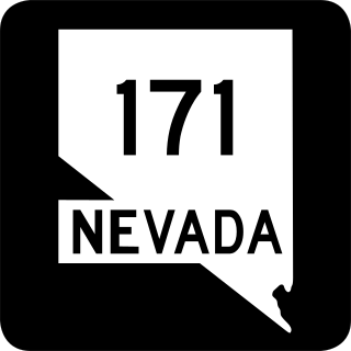
The Harry Reid Airport Connector (RAC) is a limited-access roadway system located in Paradise, an unincorporated town in the Las Vegas Valley, Clark County, Nevada, United States. Composed of State Route 171, the Airport Tunnel and arterial streets, the airport connector provides vehicular access to the passenger terminals at Harry Reid International Airport. Despite being completely owned by Clark County, the first 0.685 miles (1.102 km) of the Harry Reid Airport Connector is maintained by NDOT as unsigned SR 171, while the remaining section is maintained by Clark County.


