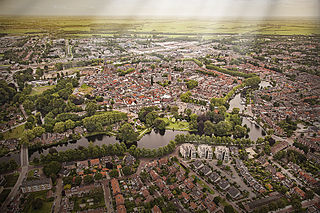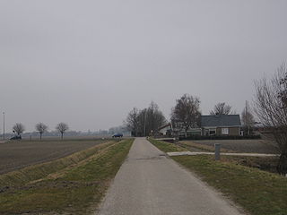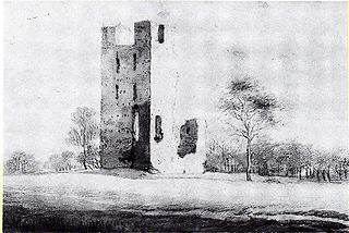
Woerden is a city and a municipality in central Netherlands. Due to its central location between Amsterdam, Rotterdam, The Hague, and Utrecht, and the fact that it has rail and road connections to those cities, it is a popular town for commuters who work in those cities.

Zegveld is a village in the Dutch province of Utrecht. It is a part of the municipality of Woerden and lies about 5 km northwest of Woerden.
Zuid-Polsbroek was a semi-sovereign or free and high fief, now part of Polsbroek in the Dutch province of Utrecht. Zuid-Polsbroek was the part of Polsbroek south of the small river Benschopse Wetering.

Kamerik is a village in the Dutch province of Utrecht. It is a part of the municipality of Woerden and is situated about 3 km north of Woerden.

Oud-Wulven is a hamlet in the Dutch province of Utrecht. It is located just north of the village of Houten, and is part of that municipality.

Rietveld is a small village in the Dutch province of Utrecht. It is a part of the municipality of Woerden, and lies about 3 km west of Woerden.

Kamerik-Mijzijde, also just called Mijzijde, is a hamlet in the Dutch province of Utrecht. It is a part of the municipality of Woerden, and lies about 4 km north of the city of Woerden.

Oud-Kamerik is a town in the Dutch province of Utrecht. It is a part of the municipality of Woerden, and lies about 6 km northwest of the city of Woerden.

Teckop is a hamlet in the Dutch province of Utrecht. It is a part of the municipality of Woerden, and lies about 6 km northeast of Woerden.

Gerverscop is a hamlet in the Dutch province of Utrecht. It is a part of the municipality of Woerden, and lies about 5 km northeast of Woerden. Until 1857, it was a separate municipality; it then was joined to the municipality of Harmelen.
Barwoutswaarder is a village in the municipality of Woerden in the Netherlands. It is located to the west of the city of Woerden.
Abcoude-Proostdij is a former municipality in the Dutch province of Utrecht. Abcoude-Proostdij covered the northern part of the current municipality of Abcoude, including the village of Abcoude itself.
Kamerik-Houtdijken is a former municipality in the Dutch province of Utrecht. It existed from 1818 to 1857, after which it merged with 's-Gravesloot, Kamerik-Mijzijde, and Teckop, to form the new municipality of Kamerik.
Wulverhorst is a former municipality in the Dutch province of Utrecht. It was located south of Woerden. Wulverhorst was a separate municipality between 1818 and 1857, when it was merged with Linschoten. The area is now a part of Montfoort.
Veldhuizen is a hamlet in the Dutch province of Utrecht. It is located in the municipality of Utrecht, south of De Meern. It is also the name of a new neighbourhood of Utrecht, built close to the hamlet.

Portengen is a hamlet in the Dutch province of Utrecht. It is located in the municipality of Stichtse Vecht, 1 km (0.62 mi) northeast of Kockengen.
Oudenrijn is a hamlet in the Dutch province of Utrecht. It is located in the municipality of Utrecht, in the western part of the city, surrounded by the new neighbourhoods of Leidsche Rijn.

Benthorn is a hamlet in the Dutch province of South Holland. It is located in the municipality of Alphen aan den Rijn, about 2 km east of the centre of Benthuizen.

Vliet is a hamlet in the Dutch province of Utrecht. It is located about 1 km southwest of the city of Oudewater, on the south bank of the Hollandsche IJssel.
Vrijhoeven is a former hamlet and former municipality in the Dutch province of South Holland. It is located about 2 km south of the village of Ter Aar.


