This is a list of the extreme points of the United Kingdom: the points that are farther north, south, east or west than any other location. Traditionally the extent of the island of Great Britain has stretched "from Land's End to John o' Groats".

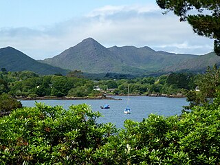
Sugarloaf Mountain is one of the Caha Mountains, southwest of Glengarriff in County Cork, Ireland. It is a pointed mountain with a height of 574 metres (1,883 ft).

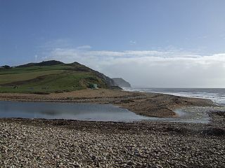
The River Char is a river in Dorset. The Char runs a few miles from Bettiscombe to Charmouth, passing Pilsdon and Whitchurch Canonicorum.

Aberhosan is a village in the Welsh principal area of Powys, located between the town of Machynlleth and village of Dylife. It is in the historic county of Montgomeryshire.

Llanbrynmair or Llanbryn-mair is a village, community and electoral ward in Montgomeryshire, Powys, Wales on the A470 road between Caersws and Machynlleth. In 2011, it had a population of 920.

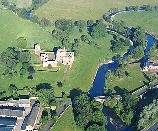
The River Lowther is a small river which flows through limestone rock in Cumbria, England. It is a tributary of the River Eamont which in turn is a tributary of the River Eden which flows into the Solway Firth near Carlisle. The Lowther begins with the confluence of the Keld Gill and the Keld Dub near the village of Keld. It flows north-west until it passes between Bampton and Bampton Grange, before turning north until it flows into the River Eamont close to Penrith.
Mount Sir John Thompson is a 3,349 m (10,988 ft) mountain located at co-ordinates 52°44′N119°44′W in the Premier Range of the Cariboo Mountains in the east-central interior of British Columbia, Canada. The mountain is located between the David and North Canoe Glaciers.

Clohamon is a small, rural village and townland near Bunclody in County Wexford, Ireland. Located on the River Slaney, Clonmahon's bridge dates to the late 18th or early 19th century. Previously the site of a large mill, there is now a meat processing factory in Clohamon.

Almonacid de Toledo is a municipality located in the province of Toledo, Castile-La Mancha, Spain. It is located off the Autovía de los Viñedos.

Fuentecén is a municipality located in the province of Burgos, Castile and León, Spain. According to the 2004 census (INE), the municipality has a population of 285 inhabitants.

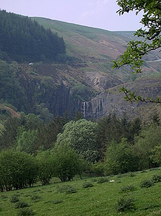
Ffrwd Fawr is a waterfall in Powys, Wales.
Yargo is the name of several villages in Burkina Faso, including the following:
M'Clure Bay is a Peel Soundmap waterway in the Qikiqtaaluk Region, Nunavut, Canada. It is located on the western side of Somerset Island,map between Aston Baymap and Birmingham Baymap.
Diallassagou (Jà:-sɔ̀gû:) is a small town and commune in the Cercle of Bankass in the Mopti Region of Mali. In 1998 the commune had a population of 18,799.
Lemuvere is a village in Jõgeva Parish, Jõgeva County in eastern Estonia.

Aldeacentenera is a village in the province of Cáceres and autonomous community of Extremadura, Spain. The municipality covers an area of 110.56 square kilometres (42.69 sq mi) and as of 2011 had a population of 733 people.
Malloussa is a small town and rural commune in Fahs-Anjra Province of the Tanger-Tetouan-Al Hoceima region of Morocco. At the time of the 2004 census, the commune had a total population of 10,739 people living in 2134 households.
Domen Fawr, or Tafolwern Castle was a motte-and-bailey castle of the Middle Ages. It is situated in Tafolwern, near Llanbrynmair in Powys. It is registered with Cadw as monument MG065 and is a scheduled monument.
Whitemouth River Ecological Reserve is an ecological reserve located within the Sandilands Provincial Forest, Manitoba, Canada. It was established in 1986 under the Manitoba Ecological Reserves Act. It is 1.3 square kilometres (0.50 sq mi) in size.
This page is based on this
Wikipedia article Text is available under the
CC BY-SA 4.0 license; additional terms may apply.
Images, videos and audio are available under their respective licenses.


