Agabar | |
|---|---|
Town | |
 Panoramic view of Agabar | |
 Agabar Location in Somaliland  Agabar Agabar (Somaliland) | |
| Coordinates: 9°55′N43°55′E / 9.917°N 43.917°E | |
| Country | |
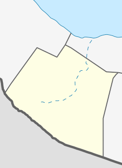
| Region | Maroodi Jeex |
| District | Gabiley District |
| Time zone | UTC+3 (EAT) |
Agabar is a sizeable town in the Maroodi Jeex region of Somaliland. It is located in the northeastern side of Gabiley District. [1]