| Aiuruoca River | |
|---|---|
 | |
| Location | |
| Country | Brazil |
| Physical characteristics | |
| Source | |
| • location | Minas Gerais state |
The Aiuruoca River is a river of Minas Gerais state in southeastern Brazil.
| Aiuruoca River | |
|---|---|
 | |
| Location | |
| Country | Brazil |
| Physical characteristics | |
| Source | |
| • location | Minas Gerais state |
The Aiuruoca River is a river of Minas Gerais state in southeastern Brazil.

Ubaí is a municipality in the north of the Brazilian state of Minas Gerais. As of 2020 the population was 12,599 in a total area of 821 km². It became a municipality in 1962.
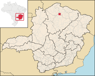
Varzelândia is a municipality in the north of the Brazilian state of Minas Gerais. As of 2020 the population was 19,305 in a total area of 804 km². It became a municipality in 1962.

Baependi is a Brazilian municipality located in the state of Minas Gerais.

Itutinga is a Brazilian municipality located in the state of Minas Gerais. The city belongs to the mesoregion of Campo das Vertentes and to the microregion of Lavras. In 2020, the estimated population was 3,768.

Conceição da Barra de Minas is a Brazilian municipality located in the state of Minas Gerais. The city belongs to the mesoregion of Campo das Vertentes and to the microregion of Sao Joao del Rei. In 2020, the estimated population was 3,946.

Madre de Deus de Minas is a Brazilian municipality located in the state of Minas Gerais. The city belongs to the mesoregion of Campo das Vertentes and to the microregion of Sao Joao del Rei. In 2020, the estimated population was 5,109.

Santa Cruz de Minas is a Brazilian municipality located in the state of Minas Gerais. The city belongs to the mesoregion of Campo das Vertentes and to the microregion of Sao Joao del Rei. It is the smallest municipality of Brazil, measuring only 2.9 square kilometres (1.1 sq mi).

Santana do Garambéu is a Brazilian municipality located in the state of Minas Gerais. The city belongs to the mesoregion of Campo das Vertentes and to the microregion of Sao Joao del Rei. In 2020, the estimated population was 2,476.

São João das Missões is a municipality in the north of the Brazilian state of Minas Gerais. As of 2020 the population was 13,125 in a total area of 675 km². The elevation is 501 meters. It became a municipality in 1997.

Cônego Marinho is a municipality in the north of the state of Minas Gerais in Brazil. As of 2020 the population was 7,686 in an area of 1,618 km².

Itacarambi is a municipality in the north of the state of Minas Gerais in Brazil. As of 2020 the population was 18,164 in an area of 1,252 km².

Pedras de Maria da Cruz is a municipality in the north of the state of Minas Gerais in Brazil. As of 2020 the population was 12,212 in an area of 1,520 km². The elevation of the municipal seat is 476 meters. It became a municipality in 1993. The postal code (CEP) is 39492-000 and it belonged to the statistical microregion of Januária
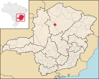
Ibiaí is a Brazilian municipality located in the north of the state of Minas Gerais. In 2020 the population was 8,437 in a total area of 870 km². It became a municipality in 1963.

Jequitaí is a Brazilian municipality located in the north of the state of Minas Gerais. In 2020 the population was 7,468 in a total area of 1,268 km2. It became a municipality in 1948.
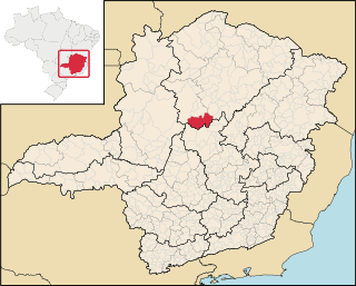
Lassance is a Brazilian municipality located in the north of the state of Minas Gerais. In 2020 the population was 6,503 in a total area of 3,213 km². It became a municipality in 1953.
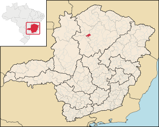
Campo Azul is a Brazilian municipality located in the north of the state of Minas Gerais. In 2020 the population was 3,824 in a total area of 506 km². It became a municipality in 1995.
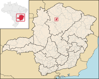
Luislândia is a municipality in the north of the Brazilian state of Minas Gerais. As of 2020 the population was 6,718 in a total area of 425 square kilometres (164 sq mi). It became a municipality in 1997.

São João do Pacuí is a municipality in the north of the Brazilian state of Minas Gerais. As of 2020 the population was 4,448 in a total area of 420 km². It became a municipality in 1997.

Cruzília, Minas Gerais is a municipality in the state of Minas Gerais in the Southeast region of Brazil.
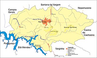
Pontalete is a district of Três Pontas municipality in the south of Minas Gerais state, Brazil, located 23 km from the city. It is watered by Furnas Dam, being an important touristic destination. Its population is about 400 people.
Coordinates: 21°27′16″S44°26′39″W / 21.45444°S 44.44417°W