Alto Carrizal | |
|---|---|
Municipality and village | |
| Country | |
| Province | La Rioja Province |
| Time zone | UTC−3 (ART) |
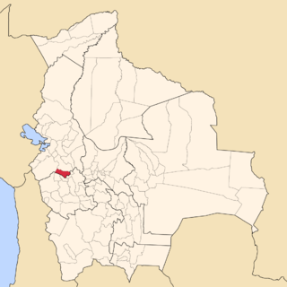
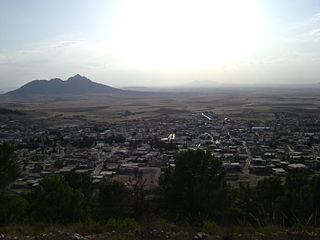
Alto Carrizal is a municipality and village in La Rioja Province in northwestern Argentina. [1]
Alto Carrizal | |
|---|---|
Municipality and village | |
| Country | |
| Province | La Rioja Province |
| Time zone | UTC−3 (ART) |
Alto Carrizal is a municipality and village in La Rioja Province in northwestern Argentina. [1]

The Arctic Archipelago, also known as the Canadian Arctic Archipelago, is an archipelago lying to the north of the Canadian continental mainland, excluding Greenland and Iceland.
The Reedy Glacier is a major glacier in Antarctica, over 100 nautical miles long and 6 to 12 nautical miles wide, descending from the polar plateau to the Ross Ice Shelf between the Michigan Plateau and Wisconsin Range in the Transantarctic Mountains. It marks the limits of the Queen Maud Mountains on the west and the Horlick Mountains on the east.

The Ames Range is a range of snow-covered, flat-topped, steep-sided mountains, extending in a north–south direction for 20 nautical miles and forming a right angle with the eastern end of the Flood Range in Marie Byrd Land, Antarctica.

Gualberto Villarroel is a province in the La Paz Department, Bolivia. Its capital is San Pedro de Curahuara de Carangas.

Sud Carangas is a province in the central parts of the Bolivian department of Oruro.

Dueñas is a municipality in the province of Palencia, Castile and León, Spain.

Sorzano is a municipality of the autonomous community of La Rioja (Spain). It is located near the capital Logroño and has a population of 263 inhabitants as of January 2006. Sorzano also has 10.23 km extension.
Campos Borges is a municipality in the state of Rio Grande do Sul, Brazil. As of 2020, the estimated population was 3,295.
Carmo da Mata is a municipality in the state of Minas Gerais in the Southeast region of Brazil.

Tajerouine is a town and commune in the Kef Governorate, Tunisia. As of 2014 it had a population of 19,362.
Bajo Carrizal is a municipality and village in La Rioja Province in northwestern Argentina.
On the continent of Antarctica, the Aramis Range is the third range south in the Prince Charles Mountains, situated 11 miles southeast of the Porthos Range and extending for about 30 miles in a southwest–northeast direction. It was first visited in January 1957 by Australian National Antarctic Research Expeditions (ANARE) southern party led by W.G. Bewsher, who named it for a character in Alexandre Dumas' novel The Three Musketeers, the most popular book read on the southern journey.
Outlaw Rock is an isolated rock, awash at low tide, lying west of the Dion Islands off the south end of Adelaide Island. First charted by the Royal Navy Hydrographic Survey Unit in 1963. So named by the United Kingdom Antarctic Place-Names Committee (UK-APC) because of its isolation.
Sirius Cliffs is a conspicuous isolated nunatak with steep rock cliffs all along its north face, located between Mount Lepus and Procyon Peaks on the south side of Millett Glacier, in Palmer Land, Antarctica. Named by United Kingdom Antarctic Place-Names Committee (UK-APC) after the star Sirius in the constellation of Canis Major.

Sloman Glacier is a glacier flowing between Mount Liotard and Mount Ditte to the southeast coast of Adelaide Island. Named by the United Kingdom Antarctic Place-Names Committee (UK-APC) in 1963 for William O. Sloman, British Antarctic Survey Personnel Officer for a number of years beginning in 1956.

Horton Glacier is a glacier at the east side of Mount Barre and Mount Gaudry, flowing southeast from Adelaide Island into Ryder Bay, Antarctica. It was named by the UK Antarctic Place-Names Committee in 1977 for Colin P. Horton, a British Antarctic Survey builder at the nearby Rothera Station, 1976–77.
Teghalimet is a town and commune in Sidi Bel Abbès Province in north-western Algeria.
German submarine U-411 was a Type VIIC U-boat built for Nazi Germany's Kriegsmarine for service during World War II. She was laid down on 28 January 1941 by Danziger Werft, Danzig as yard number 112, launched on 15 November 1941 and commissioned on 18 March 1942 under Oberleutnant zur See Gerhard Litterscheid.
St. Johns Township is a township in Harrison County, Iowa, United States.