Related Research Articles

Tenerife is the largest and most populous island of the Canary Islands. It is home to 42.9% of the total population of the archipelago. With a land area of 2,034.38 square kilometres (785.48 sq mi) and a population of 948,815 inhabitants as of January 2023, it is also the most populous island of Spain and of Macaronesia.
Barranco, founded in 1874 as San José de Surco, is one of 43 districts in Lima, Peru. Its current mayor is Jessica Vargas.

The First Battle of Acentejo took place on the island of Tenerife between the Guanches and an alliance of Spaniards, other Europeans, and associated natives, on 31 May 1494, during the Spanish conquest of this island. It resulted in a victory for the Guanches of Tenerife.

Tejeda is a village and a municipality in the mountainous central part of the island of Gran Canaria in the province of Las Palmas in the Canary Islands.

Garafía is a municipality in the island of La Palma, Santa Cruz de Tenerife. Located in the northwest of the island, in the middle of two whims of nature: the ravines of Franceses bordering Barlovento and Izcagua by the South, bordering Punta Gorda. The administrative capital, home to the City Council, is called Santo Domingo; its parish church, Iglesia de Nuestra Señora de La Luz dates back to the 16th century. Garafía has a length of 25.50 km coastline.

Adeje is a town and municipality in the southwestern part of the island of Tenerife, one of the Canary Islands, and part of the province of Santa Cruz de Tenerife, Spain. The town Adeje is located 4 km from the coast, 8 km north of the resort town Los Cristianos, 60 km southwest of the island capital Santa Cruz de Tenerife and about 17 km northwest of Tenerife South Airport.

Anaga massif is a mountain range in the northeastern part of the island of Tenerife in the Canary Islands. The highest point is 1,024 m. It stretches from the Punta de Anaga in the northeast to Cruz del Carmen in the southwest. Anaga features the mountain peaks of Bichuelo, Anambro, Chinobre, Pico Limante, Cruz de Taborno and Cruz del Carmen. The mountains were formed by a volcanic eruption about 7 to 9 million years ago making it the oldest part of the island. Since 1987 it has been protected as a "natural park", reclassified as "rural park" in 1994. Since 2015 it is also an UNESCO Biosphere Reserve and is the place that has the largest number of endemic species in Europe.

San Andrés is a village located on the island of Tenerife in the Canary Islands (Spain). It is located on the coast, at the foot of the Anaga mountains, 7 km (4.3 mi) northeast of the capital city Santa Cruz de Tenerife. It is administratively part of the municipality of Santa Cruz de Tenerife. San Andrés is one of the oldest villages of Canary Islands, and was founded around 1498.

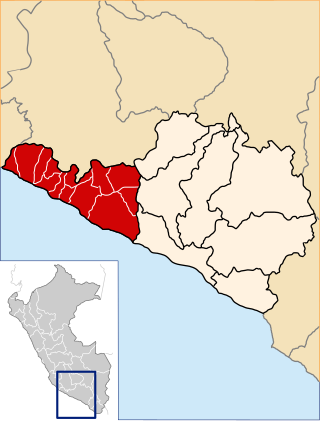
Caravelí is one of eight provinces in the Arequipa Region of Peru, with its capital in the city of Caravelí. It borders the department of Ayacucho to the north; the provinces of La Unión, Condesuyos, and Camaná to the east; the Pacific Ocean to the south; and the department of Ica to the west.

María de los Remedios Barranco García better known as María Barranco is a Spanish actress, who has won two Goya Awards for Best Supporting Actress.

The Teno massif is one of three volcanic formations that gave rise to Tenerife, Canary Islands, Spain. It is located in the northwestern part of the island between the towns of Santiago del Teide, Los Silos, El Tanque and Buenavista del Norte. The volcanic massif, emerged during the last 5 to 7 million years, is furrowed by deep ravines and ends abruptly in the sea, in an area known as Los Gigantes, a series of high cliffs that plummet over the sea. The villages known as Masca, Teno Alto, Los Carrizales, El Palmar, Las Portelas and Las Lagunetas preserve the old agricultural traditions of Canary Islands.

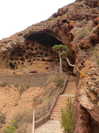
Valerón's "monastery" is an archaeological site on the Spanish island of Grand Canary, in the municipality of Santa Maria de Guia, on Valerón's cliff. It is the largest pre-Hispanic collective granary built before Roman times and used by the island's inhabitants until the conquest of the island at the end of the 15th century.

The Guayadeque ravine, in Spanish Barranco de Guayadeque, is a ravine-type valley located on the Spanish municipalities of Ingenio and Agüimes, in the province of Las Palmas on Grand Canary island, off the coast of Morocco.

Cueva del Agua is a small village of the Spanish municipality of Garafia in the north-east of the island of La Palma, province of Santa Cruz de Tenerife, in the Canary Islands off the Moroccan coast.

The Four Doors site, also known as Montaña Bermeja, 'Vermillion Mountain', is a complex of caves in the south of the municipality of Telde, Gran Canaria.

The Park of Legends, formally the Dr. Felipe Benavides Barreda Park of Legends, is a zoo located in San Miguel District, Lima, Peru. It is managed by the Metropolitan Municipality of Lima (MML). It is the most influential and visited zoo in the entire capital, featuring recreation and entertainment areas, archaeological museums, and botanical garden.

Bajamar is a coastal town in the northeast of the island of Tenerife in the Canary Islands, Spain, belonging to the municipality of San Cristóbal de La Laguna. Administratively it is included in Zone 5 of the municipality. Formerly it was considered a neighbourhood of Tejina, another town in San Cristóbal de La Laguna.

Barranco Hondo is a population entity belonging to the municipality of Candelaria, on the island of Tenerife, Canary Islands, Spain.
References
- ↑ "El misterioso viaje de las anguilas desde el Triángulo de las Bermudas a los barrancos canarios". ABC. Archived from the original on 7 October 2016. Retrieved 12 December 2024.
- 1 2 "La leyenda de la anguila peluda". Andrés Raya Ramos. Archived from the original on 30 April 2022. Retrieved 12 December 2024.