Armudlu | |
|---|---|
 Armudlu  Armudlu | |
| Coordinates: 40°05′N45°58′E / 40.083°N 45.967°E | |
| Country | |
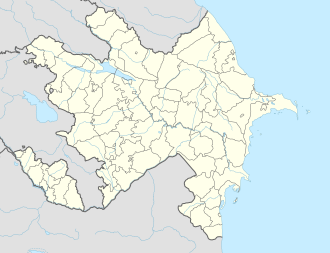
| District | Kalbajar |
| Time zone | UTC+4 (AZT) |
| • Summer (DST) | UTC+5 (AZT) |
Armudlu is a village in the Kalbajar District of Azerbaijan. [1] The village was occupied in 1993 by the self-proclaimed Republic of Artsakh during the First Nagorno-Karabakh War. It was returned to Azerbaijan on 25 October 2020 per the 2020 Nagorno-Karabakh ceasefire agreement.
