Batavia (San Luis) | |
|---|---|
Municipality and village | |
 | |
| Country | |
| Province | San Luis Province |
| Time zone | UTC−3 (ART) |
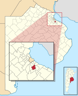
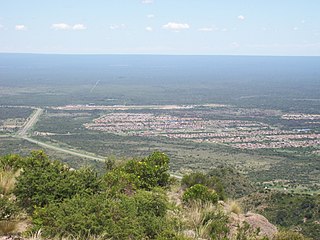
Batavia (San Luis) is a village and municipality in San Luis Province in central Argentina. [1]
Batavia (San Luis) | |
|---|---|
Municipality and village | |
 | |
| Country | |
| Province | San Luis Province |
| Time zone | UTC−3 (ART) |
Batavia (San Luis) is a village and municipality in San Luis Province in central Argentina. [1]

Almirante Brown is a partido of the Buenos Aires Province, Argentina, located at the south of the Gran Buenos Aires urban area, at coordinates 34°47′S58°24′W.
The Argentina Range is a range of rock peaks and bluffs, 42 nautical miles long, lying 35 nautical miles east of the northern part of Forrestal Range in the northeastern portion of the Pensacola Mountains of Antarctica.

San Esteban Catarina is a municipality in the San Vicente department of El Salvador.
Obanos is a town and municipality located in the province and autonomous community of Navarre, northern Spain.

Alamillo is a municipality in Ciudad Real, Castile-La Mancha, Spain. It has a population of 674.
La Frontera is a name used in Chile to refer to the region around the Bío Bío River, or to the whole area between it and the Toltén River. The use of this latter definition is largely coterminous with the historical usage of Araucanía. The term was coined during the period when the region was the frontier of the Captaincy General of Chile, then a part of the Spanish Empire and later the Republic of Chile, with the Mapuche people inhabiting the Araucanía following their revolt in 1598. Subsequently, the Spanish Empire established a system of forts between the Bío Bío River and the Itata River, as well as some within the Araucanía. This system continued through the 18th century and into the 19th century.
Paim Filho is a municipality in the state of Rio Grande do Sul, Brazil. As of 2020, the estimated population was 3,778.
Simpson Glacier is a glacier, 6 nautical miles, in the Admiralty Mountains, Antarctica. It flows northward to the coast between Nelson Cliff and Mount Cherry-Garrard where it forms the Simpson Glacier Tongue.
Villa de La Paz is a town and municipality in the Mexican state of San Luis Potosí in central Mexico.
Anchorena (San Luis) is a village and municipality in San Luis Province in central Argentina.

La Punta is a village and municipality in San Luis Province in central Argentina.
Las Chacras is a village and municipality in San Luis Province in central Argentina.
Nahuel Mapá is a village and municipality in San Luis Province in central Argentina.
Navia (San Luis) is a village and municipality in San Luis Province in central Argentina.
San Antonio (Paclín) is a village and municipality in Catamarca Province in northwestern Argentina.

Barrio Bancario is a municipality in Catamarca Province in northwestern Argentina. It is located within the Greater San Fernando del Valle de Catamarca area.

Point Martin is a point on the east side of Mossman Peninsula, 1.5 km (0.93 mi) north-west of Cape Murdoch, on the south coast of Laurie Island in the South Orkney Islands of Antarctica. It was charted in 1903 by the Scottish National Antarctic Expedition under Bruce, who named it for J. Martin, an able seaman on the expedition ship Scotia.

Los Titanes is a seaside resort in Canelones Department, Uruguay.