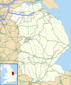
North Norfolk is a constituency represented in the House of Commons of the UK Parliament since 2024 by Steffan Aquarone, a Liberal Democrat.

North Norfolk is a local government district in Norfolk, England. Its council is based in Cromer, and the largest town is North Walsham. The district also includes the towns of Fakenham, Holt, Sheringham, Stalham and Wells-next-the-Sea, along with numerous villages and surrounding rural areas.

Earl of Stradbroke, in the County of Suffolk, is a title in the Peerage of the United Kingdom. It was created in 1821 for John Rous, 1st Baron Rous, who had earlier represented Suffolk in the House of Commons.

The Bittern Line is a railway branch line in Norfolk, England, that links Norwich to Sheringham. It passes through the Broads on its route to an Area of Outstanding Natural Beauty on the north Norfolk coast. It is named after the bittern, a rare bird found in the reedy wetlands of Norfolk.
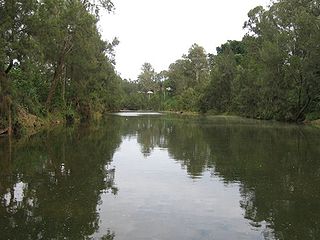
The Richmond River is a river situated in the Northern Rivers region of New South Wales, Australia.

Louth and Horncastle is a constituency in Lincolnshire represented in the House of Commons of the UK Parliament since 2015 by Victoria Atkins, a Conservative.

Sir Stanley Ford Rous was an English football referee and the 6th President of FIFA, serving from 1961 to 1974. He also served as secretary of the Football Association from 1934 to 1962 and was an international referee.
Roughton, as a person, may refer to:
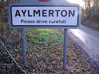
Aylmerton is a village in the county of Norfolk, England. It is in the area of North Norfolk and lies 2.2 miles (3.5 km) south of the North Sea, 3.2 miles (5.1 km) south-west of Cromer and 7.5 miles (12.1 km) east of Holt. The parish is bordered by the parishes of Beeston Regis and Runton to the north, West Beckham to the west, Felbrigg to the east and Gresham and Sustead to the south. The centre of the village is ¾ miles south of the A148 King's Lynn to Cromer road with Sandy Lane and Beechwood Avenue north of it. The nearest railway stations are West Runton at the bottom of Sandy Lane, Cromer at 2.9 miles (4.7 km) and Roughton Road at 4.1 miles (6.6 km). The civil parish has an area of 6.86 square kilometres and in the 2001 census the population was 435 in 178 households, increasing to 458 at the 2011 Census. For the purposes of local government, the parish is in North Norfolk, whose headquarters are in Cromer.

Roughton Road railway station is a stop on the Bittern Line in Norfolk, England, on the outskirts of the town of Cromer. It takes its name from the street on which it is located and is several miles north of the village of Roughton. It is 24 miles 1 chain (38.6 km) down the line from Norwich and is situated between Gunton and Cromer stations.

The fishing port and holiday resort of Cromer, in the English county of Norfolk, has had a rail service since 1877. It was served by three railway stations for many years and is now served by two. Cromer Beach station, which opened in 1887, was renamed Cromer in 1969 following the closure of the other early stations.

Roughton is a village and civil parish in the East Lindsey district of Lincolnshire, England. The parish population was 644 in 2011.
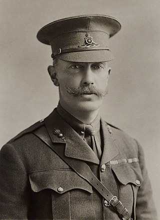
George Edward John Mowbray Rous, 3rd Earl of Stradbroke, was a British nobleman from Suffolk who served as a Territorial Army officer, as a junior government minister, and as the 15th Governor of Victoria, Australia.
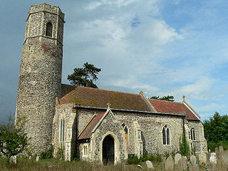
Mutford is a village and civil parish in the East Suffolk District of the English county of Suffolk. The village is 5 miles (8.0 km) south-west of Lowestoft and 4 miles (6.4 km) south-east of Beccles in a rural area. The parish borders Barnby, Carlton Colville, Gisleham, Rushmere, Henstead with Hulver Street, Ellough and North Cove. The village gave its name to the Half Hundred of Mutford which is named in the Domesday Book.
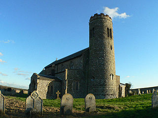
Roughton is a village and a civil parish in the English county of Norfolk. The village is located 3.7 miles (6.0 km) south of Cromer, 19.6 miles (31.5 km) north of Norwich and 6.5 miles (10.5 km) north-west of North Walsham. The village's name means 'Rough farm/settlement', referring to the character of the ground.

Rous County is one of the 141 cadastral divisions of New South Wales. It is located at the north-east tip of the state. It is bordered on the north by the border with Queensland and on the south by the Richmond River. It contains Lismore, Byron Bay and Murwillumbah.
Rous River, a perennial river of the Tweed River catchment, is located in the Northern Rivers region of New South Wales, Australia.
Roughton Scrubs is a small woodland beside the B1191 to the north east of the village of Woodhall Spa in Lincolnshire on Roughton Moor. Bordering it to the south west is Big Rouse Holt with the area to the north across Horncastle Road known as The Wilderness where can be found evidence of medieval Ridge and Furrow farming surrounding the embankment of the long abandoned Woodhall Spa to Horncastle railway.
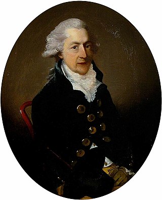
Rowland Holt of Redgrave Hall, Suffolk, was a British politician who sat in the House of Commons between 1759 and 1780.
