Related Research Articles

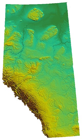
Alberta is one of the thirteen provinces and territories of Canada. Located in Western Canada, the province has an area of 661,190 km2 (255,290 sq mi) and is bounded to the south by the United States state of Montana along 49° north for 298 km (185 mi); to the east at 110° west by the province of Saskatchewan for 1,223 km (760 mi); and at 60° north the Northwest Territories for 644 km (400 mi). The southern half of the province borders British Columbia along the Continental Divide of the Americas on the peaks of the Rocky Mountains, while the northern half borders British Columbia along the 120th meridian west. Along with Saskatchewan it is one of only two landlocked provinces or territories.
There are several lakes named Mud Lake within the Canadian province of Alberta.

The Wabasca River is the largest tributary of the Peace River watershed in northern Alberta, Canada.

Northern Alberta is a geographic region located in the Canadian province of Alberta.
Simpson Pass, el. 2,107 m (6,913 ft), is a mountain pass on the border between the Canadian provinces of Alberta and British Columbia, in the area of the Ball Range. It is the prominence col for Mount Ball on the Continental Divide in the vicinity of Sunshine Village ski resort. Simpson River and Simpson Pass are named after Sir George Simpson who first explored the area in 1841.
Driftpile is a community on the Drift Pile River 150 Indian reserve, in northern Alberta, Canada. It is located on Highway 2, approximately 191 kilometres (119 mi) east of Grande Prairie.
Kananaskis Village is an unincorporated community in Alberta's Rockies within the Kananaskis Country park system in the Kananaskis Improvement District of Alberta, Canada. It is located approximately 26 km (16 mi) south of the Trans-Canada Highway, 3 km (1.9 mi) west of Highway 40 via Mt. Allan Drive and Centennial Drive. The community is located on the west shore of the Kananaskis River at the base of Mount Kidd.
Palliser Pass, 2,084 m (6,837 ft), is a mountain pass in the Canadian Rockies, located on the British Columbia / Alberta boundary at the south end of Banff National Park and at the north end of Height of the Rockies Provincial Park in British Columbia. The pass is located north of the headwaters of the Palliser River.

Boyer River 164 is an Indian reserve of the Beaver First Nation in Alberta, located within Mackenzie County. It is 16 kilometers northwest of Fort Vermilion. In the 2016 Canadian Census, it recorded a population of 218 living in 63 of its 67 total private dwellings.

Fort Vermilion 173B is an Indian reserve of the Tallcree First Nation in Alberta, located within Mackenzie County. It is 1 kilometre southwest of Fort Vermilion. In the 2016 Canadian Census, it recorded a population of 96 living in 23 of its 25 total private dwellings.

John D'Or Prairie 215 is an Indian reserve of the Little Red River Cree Nation in northern Alberta, Canada. It is located 117 km (73 mi) east of the Town of High Level on Highway 58 and is surrounded by Mackenzie County. It is at an elevation of 282 metres (925 ft).
Amber River is a stream in Alberta, Canada.
Cuthead Creek is a stream in Alberta, Canada. It is a tributary of the Cascade River.
Dormer River is a stream in Alberta, Canada.
Healy Creek is a stream in Alberta, Canada.
Howard Douglas Creek is a stream in Alberta, Canada.
Inverness River is a stream in Alberta, Canada.

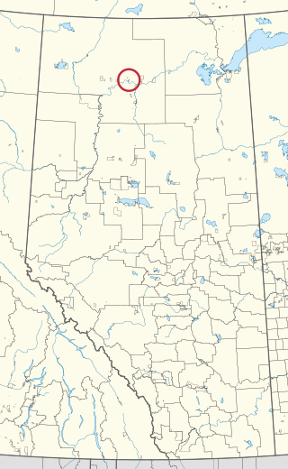
Beaver Ranch 163A is an Indian reserve of the Tallcree First Nation in Alberta, located within Mackenzie County. It is 82 kilometres east of High Level.

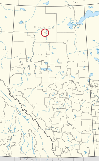
Beaver Ranch 163B is an Indian reserve of the Tallcree First Nation in Alberta, located within Mackenzie County. It is 78 kilometres east of High Level.

Tallcree 173A, also known as North Tallcree, is an Indian reserve of the Tallcree First Nation in Alberta, located within Mackenzie County. It is 40 kilometres (25 mi) southeast of Fort Vermilion. In the 2021 Canadian Census, Tallcree 173A had a recorded population of 201 living in 50 of its 56 total private dwellings.
References
- ↑ "Boyer River". Geographical Names Data Base . Natural Resources Canada.
- ↑ Place-names of Alberta. Ottawa: Geographic Board of Canada. 1928. p. 24.
58°27′01″N115°57′09″W / 58.45019°N 115.95261°W