Alnwick is a market town in Northumberland, England, of which it is the traditional county town. The population at the 2011 Census was 8,116.

Midlothian is a historic county, registration county, lieutenancy area and one of 32 council areas of Scotland used for local government. Midlothian lies in the east-central Lowlands, bordering the City of Edinburgh, East Lothian and the Scottish Borders.
Glasgow City Council is the local government authority for the City of Glasgow, Scotland. It was created in 1996 under the Local Government etc. (Scotland) Act 1994, largely with the boundaries of the post-1975 City of Glasgow district of the Strathclyde region.

Mount Vernon is a residential area in the east end of the city of Glasgow, Scotland. It directly borders Sandyhills and Foxley to the west, while Barlanark is the closest neighbourhood to the north, Barrachnie and Baillieston to the east and Carmyle to the south, although Mount Vernon is separated from these by areas of open land, including Early Braes public park and the former Kenmuir farm.

Uddingston is a small town in South Lanarkshire, Scotland. It is on the north side of the River Clyde, south-east of Glasgow city centre, and acts as a dormitory suburb for the city.

Sighthill is a housing estate in the west of Edinburgh, Scotland.

Saughton is a suburb of the west of Edinburgh, Scotland, bordering Broomhouse, Stenhouse, Longstone and Carrick Knowe. In Lowland Scots, a "sauch" is a willow. The Water of Leith flows by here.
Wester Broom is a district of Edinburgh, Scotland. It borders Broomhouse/Forrester, Corstorphine and South Gyle. It is sometimes considered to be part of one of the latter two. It is mainly residential, with a few small shops and a large Tesco nearby. The Fife railway line is arguably the boundary, although some will extend it south to the Glasgow line, and to include Forresters and two schools.

Broomhouse is a district of Edinburgh, Scotland. Although on the lands of Old Saughton, its name is adopted from an estate which lay to the north of the Edinburgh and Glasgow Railway. The earliest recorded versions of the name (c.1600) were variations on Brum(e)hous. It mainly comprises a low-rise council housing estate built between 1947 and 1950. It borders on Parkhead, Sighthill, and Saughton Mains. The arterial route of Calder Road (A71) passes to the south.
Niddrie is a residential suburb in Eastern Edinburgh in Scotland.

Baillieston railway station is located in Caledonia Road on the southern boundary of the Baillieston area of Glasgow, Scotland, with the Broomhouse area on the other side of the tracks. It is on the Whifflet Line, 8 miles (13 km) east of Glasgow Central railway station. Train services are provided by Abellio ScotRail.
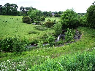
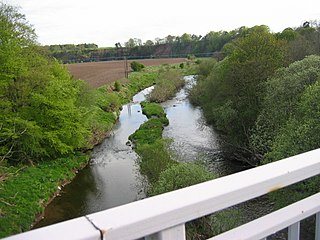
The North Calder Water is a river in North Lanarkshire, Scotland. It flows for 12 miles (19 km) from the Black Loch via the Hillend Reservoir, Caldercruix, Plains, Airdrie, Calderbank, Carnbroe and Viewpark to the River Clyde at Daldowie, south-east of Glasgow. For the last 2 miles (3.2 km) of its course, it forms part of the boundary between North Lanarkshire and Glasgow. The name Calder is thought to be Brythonic and to mean 'hard cold flowing' water.

Stenhouse is a suburb of Edinburgh, the capital of Scotland. It lies to the west of the City Centre, adjacent to Whitson and Saughton Mains and close to Broomhouse and Chesser. It is a mainly residential area.

The lands of Daldowie in Glasgow, Scotland lie astride the River Clyde on the south and the North Calder Water to the east, and stretch to the present area of Broomhouse in the north.
Chirnsidebridge is a village near Chirnside in the Scottish Borders area of Scotland, at a bridge over the Whiteadder Water on its journey towards the River Tweed.
Forrester High School is a secondary school in the west of Edinburgh, Scotland.

St Joseph's Church, Sighthill,, is a Roman Catholic church situated in Broomhouse, in the west of Edinburgh, Scotland. The parish boundary extends to Broomhouse, Parkhead, Saughton, Sighthill, Gorgie and further.

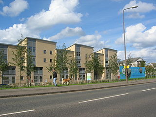
Broomhouse is a residential area in Glasgow, Scotland. It is about 6 miles (10 km) east of the city centre. Historically a small mining village and later the site of the Glasgow Zoo, in the early 21st century it grew substantially as an affluent commuter suburb.
Calderpark Halt railway station or Calderpark for Glasgow Zoo (NS679625) served Calderpark Zoo opened in 1947 on the old estate of Calderpark and the Baillieston area of Glasgow, Scotland on the Glasgow, Bothwell, Hamilton and Coatbridge Railway between Shettleston and Hamilton. Glasgow Zoo closed in 2003.