Chhorambu छोरम्बु | |
|---|---|
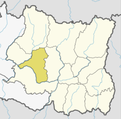
 Location of Khotang District within Nepal | |
 Chhorambu Location in Nepal | |
| Coordinates: 27°06′N86°46′E / 27.10°N 86.76°E | |
| Country | |
| Zone | Sagarmatha Zone |
| District | Khotang District |
| Population (1991) | |
• Total | 2,376 |
| Time zone | UTC+5:45 (Nepal Time) |
Chhorambu is a village and Village Development Committee in Khotang District in the Sagarmatha Zone of eastern Nepal. At the time of the 1991 Nepal census it had a population of 2,376 persons living in 428 individual households. [1]