Related Research Articles

Pike County is a county located on the southwestern border of the U.S. state of Mississippi. As of the 2020 census, the population was 40,324. The county seat is Magnolia. Pike County is named for explorer Zebulon Pike. Pike County is part of the McComb, MS Micropolitan Statistical Area.
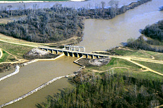
The Yazoo River is a river in the U.S. states of Louisiana and Mississippi. It is considered by some to mark the southern boundary of what is called the Mississippi Delta, a broad floodplain that was cultivated for cotton plantations before the American Civil War. It has continued to be devoted to large-scale agriculture.
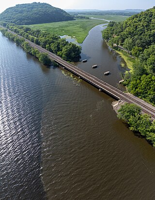
The Trempealeau River is an 81.5-mile-long (131.2 km) tributary of the Mississippi River in the Driftless Area of western Wisconsin in the United States.
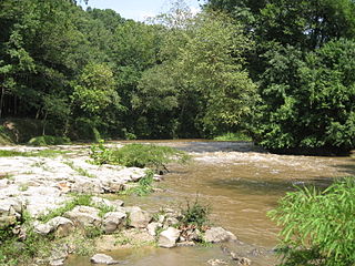
The Strong River is a 95.2-mile-long (153.2 km) river in south-central Mississippi in the United States. It is a tributary of the Pearl River, which flows to the Gulf of Mexico.

The Embarras River is a 195-mile-long (314 km) tributary of the Wabash River in southeastern Illinois in the United States. The waters of the Embarras reach the Gulf of Mexico via the Wabash, Ohio, and Mississippi Rivers. The river drains a watershed around 1,566,450 acres (6,339.2 km2) in an agricultural region. It arises near Champaign-Urbana and flows south to near Vincennes, Indiana. The name comes from French explorers, who used the French word, embarras, for river navigation obstacles, blockages, and difficulties relating to logjams.

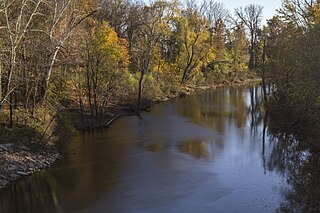
The Black River is a river in west-central Wisconsin and tributary of the Mississippi River. The river is approximately 190 miles (310 km) long. During the 19th century, pine logs were rafted down the Black, heading for sawmills at La Crosse and points beyond.
Chickasaw Bayou is a stream in the U.S. state of Mississippi. It is a tributary to the Yazoo River.
The Cuivre River is a 41.6-mile-long (66.9 km) river in the east central part of the state of Missouri, north of the Missouri River terminus. A good part of its course marks the borders between Lincoln and St. Charles counties before emptying into the Mississippi River north of St. Louis. The Cuivre River State Park near Troy has its southwestern borders on the river. The river is considered a navigable stream by the Missouri water patrol.
Sturgeon River is a 63.6-mile-long (102.4 km) river in the U.S. state of Michigan, flowing mostly southward through Alger County and Delta County counties on the Upper Peninsula.
Establishment Creek is a stream in Ste. Genevieve County in the U.S. state of Missouri. It is a tributary of the Mississippi River.
Bahala Creek is a stream in the U.S. state of Mississippi. It is a tributary to the Pearl River.
Little Bahala Creek is a stream in the U.S. state of Mississippi. It is a tributary to Big Bahala Creek.
Bogue Cheely is a stream in the U.S. state of Mississippi.
Choctaw Creek is a stream in the U.S. state of Mississippi. It is a tributary to Bayou Pierre.
Copiah Creek is a stream in the U.S. state of Mississippi. It is a tributary to the Pearl River.
Minnehaha River is a stream in the U.S. state of Mississippi.
Puchshinnubie Creek is a stream in the U.S. state of Mississippi.
Santee Branch is a stream in the U.S. state of Mississippi.
Shackaloa Creek is a stream in the U.S. state of Mississippi.
Topisaw Creek is a stream in the U.S. state of Mississippi. It is a tributary to Bogue Chitto.
References
- ↑ U.S. Geological Survey Geographic Names Information System: Chicago Branch
- ↑ Baca, Keith A. (2007). Native American Place Names in Mississippi. University Press of Mississippi. p. 22. ISBN 978-1-60473-483-6.
31°55′09″N90°53′09″W / 31.9190481°N 90.8859365°W