
Willem Janszoon Blaeu, also abbreviated to Willem Jansz. Blaeu, was a Dutch cartographer, atlas maker, and publisher. Along with his son Johannes Blaeu, Willem is considered one of the notable figures of the Netherlandish or Dutch school of cartography during its golden age in the 16th and 17th centuries.

Simon Vouet was a French painter who studied and rose to prominence in Italy before being summoned by Louis XIII to serve as Premier peintre du Roi in France. He and his studio of artists created religious and mythological paintings, portraits, frescoes, tapestries, and massive decorative schemes for the king and for wealthy patrons, including Richelieu. During this time, "Vouet was indisputably the leading artist in Paris," and was immensely influential in introducing the Italian Baroque style of painting to France. He was also, according to Pierre Rosenberg, "without doubt one of the outstanding seventeenth-century draughtsmen, equal to Annibale Carracci and Lanfranco."
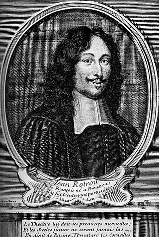
Jean Rotrou was a French poet and tragedian.

Silvester Petra Sancta was an Italian Jesuit priest, and heraldist. His name is also spelt as Sylvester Petra Sancta, Petrasancta, in Italian Padre Silvestro da Pietrasanta. Pseudonym: Coelius Servilius

Jean-Baptiste Du Tertre was a French blackfriar and botanist.

The former French Catholic diocese of Saint-Omer existed from 1559 until the French Revolution. Its see at Saint-Omer, in the modern department of Pas-de-Calais, was created as a reaction to the destruction of the see of Thérouanne, by military action in the wars of the Emperor Charles V. It then became a suffragan of the Archdiocese of Cambrai in 1559.

Claude de Mesmes, comte d'Avaux was a 17th-century French diplomat and public administrator. He was sent in various missions to Venice, Rome, Germany, Sweden, Denmark, and Poland by Richelieu.
Mapping the World is a French programme that explains geopolitical contexts using maps as visual support. It was created in 1990 by political scientist Jean-Christophe Victor, who hosted it up until his death in 2016. The programme returned in September 2017 with Émilie Aubry as host and airs weekly on the Franco-German channel Arte.

Antoine Picon is a 20th-/21st-century French professor of the History of Architecture and technology and co-director of Doctoral Programs at the Harvard Graduate School of Design. He teaches courses in the history and theory of architecture and technology. He is member of the scientific committee of the École Nationale Supérieure d'Architecture de Versailles (ENSAV).

The Merian map of Paris was created in 1615 by Matthäus Merian the Elder. It presents a bird's eye view looking east with a scale of about 1 to 7,000. The map originally consisted of two engraved plates with the left and right halves of the map and was printed with 2 columns of portraits on the left and right sides of the respective map halves. The entire assembly was 50 x 101.5 cm.
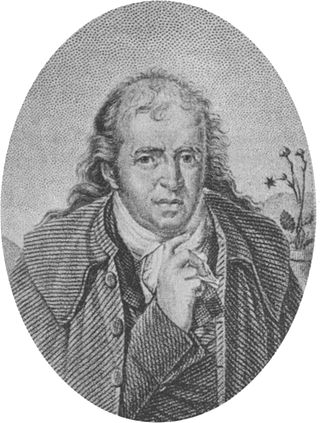
Antoine Nicolas Duchesne was a French botanist known for his keen observation of variation within species, and for demonstrating that species are not immutable, because mutations can occur. "As Duchesne's observations were unaided by knowledge of modern concepts of genetics and molecular biology, his insight was truly remarkable." His particular interests were in strawberries and gourds.
Claude de Rye de la Palud, Baron of Balançon was a general officer of artillery in the Army of Flanders.
Magdalena Catherine, Countess Palatine of Zweibrücken was a Countess Palatine of Zweibrücken by birth and by marriage Duchess and Countess Palatine of Birkenfeld.

Balthasar Moretus or Balthasar I Moretus was a Flemish printer and head of the Officina Plantiniana, the printing company established by his grandfather Christophe Plantin in Antwerp in 1555. He was the son of Martina Plantin and Jan Moretus.
Dom Joseph Vaissète was a scholarly French Benedictine monk who wrote a history of Languedoc and a geography of the world as it was known in his day. Vaissette's Histoire générale de Languedoc is still considered a work of great erudition and value by modern historians. The Geography had its faults from lack of technology, but was the most detailed and accurate of its day. Some names for the volume differ from modern usage. Because of this, he gives the name La Côte des Dents to what is now the Côte d'Ivoire.
Christophe Gamard, Gamar or Gamart, was a 17th-century French architect, who worked in Paris and died there in 1649.
Charles Liénard, sieur de L'Olive was a French colonial leader who was the first governor of Guadeloupe.

Melchior Tavernier was a French engraver, printmaker and print publisher.
