Related Research Articles

Washington County is a county located in the southeastern part of the U.S. state of Ohio. As of the 2020 census, the population was 59,711. Its county seat is Marietta. The county, the oldest in the state, is named for George Washington. Washington County comprises the Marietta, OH Micropolitan Statistical Area, which is also included in the Parkersburg-Marietta-Vienna, WV-OH Combined Statistical Area.

The Eastern Continental Divide, Eastern Divide or Appalachian Divide is a hydrological divide in eastern North America that separates the easterly Atlantic Seaboard watershed from the westerly Gulf of Mexico watershed. The divide nearly spans the United States from south of Lake Ontario through the Florida peninsula, and consists of raised terrain including the Appalachian Mountains to the north, the southern Piedmont Plateau and lowland ridges in the Atlantic Coastal Plain to the south. Water including rainfall and snowfall, lakes, streams and rivers on the eastern/southern side of the divide drains to the Atlantic Ocean; water on the western/northern side of the divide drains to the Gulf of Mexico. The ECD is one of six continental hydrological divides of North America which define several drainage basins, each of which drains to a particular body of water.

Sharpsburg is an unincorporated community in northwestern Bern Township, Athens County, Ohio, United States. There is a convenience store there, with gas pumps, and also containing the post office with the ZIP code 45777. Additionally there is a church, the Bern Township office, and a few houses.

Wingett Run is an unincorporated community in western Ludlow Township, Washington County, Ohio, United States. It has a post office with the ZIP code 45789. It is located along State Route 26 and the Little Muskingum River.

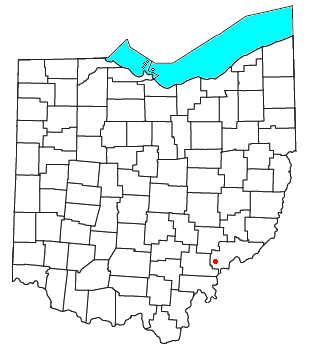
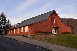
Whipple is an unincorporated community in southern Salem Township, Washington County, Ohio, United States. Although it is unincorporated, it once had a post office, with the ZIP code 45788. It lies on State Route 821 south of the village of Lower Salem, at the junction of Whipple Run with Duck Creek. The community took its name from nearby Whipple Run.
Cutler is an unincorporated community in southwestern Fairfield Township, Washington County, Ohio, United States. It has a post office with the ZIP code 45724. It lies at the intersection of State Route 555 and County Road 59 near Gilbert Run, a subsidiary of the Little Hocking River, which meets the Ohio River at Little Hocking to the southeast.

Bartlett is an unincorporated community in southwestern Wesley Township, Washington County, Ohio, United States. It has a post office with the ZIP code 45713. It sits at the intersection of State Routes 550 and 555 near Coal Run, a subsidiary of Wolf Creek, which meets the Muskingum River at Waterford to the north. Near Bartlett is located the Shinn Covered Bridge, which spans Wolf Creek.

Pilgrims Knob is an unincorporated community in Buchanan County, Virginia, United States. As of the 2000 census, the Pilgrims Knob area had a population of 479. It is located at 37°14′19″N81°54′44″W along the Dismal River, part of the watershed of the Big Sandy River, at the junction of Virginia State Routes 638 and 680.
Dohrman Tract or Dohrman’s Grant was a land tract in eastern Ohio granted by Congress to Arnold Henry Dohrman (1749–1813), who helped the American cause in the Revolutionary War.
Kanona is an unincorporated community in Decatur County, Kansas, United States.
Lock Port is an unincorporated community in Williams County, in the U.S. state of Ohio.
Ayersville is an unincorporated community in Defiance County, in the U.S. state of Ohio.
Archers Fork is an unincorporated community in Washington County, in the U.S. state of Ohio.
Pinehurst is an unincorporated community in Washington County, in the U.S. state of Ohio.
Cow Run is an unincorporated community in Washington County, in the U.S. state of Ohio.
Moss Run is an unincorporated community in Washington County, in the U.S. state of Ohio.
Newell Run is an unincorporated community in Washington County, in the U.S. state of Ohio.
Big Run is an unincorporated community in Athens County, in the U.S. state of Ohio.
Reas Run is a stream in the U.S. state of Ohio. It is a tributary to the Ohio River.
Prattsville is an unincorporated community in Madison Township, Vinton County, Ohio, in the United States.
References
39°23′24″N81°14′19″W / 39.39000°N 81.23861°W
| | This article related to a river in Ohio is a stub. You can help Wikipedia by expanding it. |