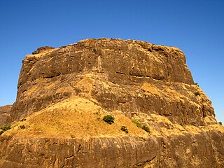
Sudhagad / Bhorapgad is a hill fort situated in Maharashtra, India. It lies about 53 kilometres (33 mi) west of Pune, 26 kilometres (16 mi) south of Lonavla and 11 kilometres (6.8 mi) east of Pali in Raigad District. The summit is 620 metres (2,030 ft) above sea level. The entire area around the fort is declared a Sudhagad wildlife sanctuary.
Sarasgad fort is situated near village Pali in the Raigad district of Maharashtra. Pali lies about 10 kilometres East of Nagothane along the Nagothane-Khopoli road. This fort height from sea level is 490 meters

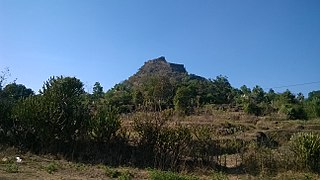
Kothaligad is a small fort (3100 ft) situated to the east of Karjat near Karjat-Murbad Road in the Indian state of Maharashtra. It is a famous trek in the Karjat area, because of its small height and easy climbing. It is also known as the Fort of Peth because of its vicinity to Peth village at its base.
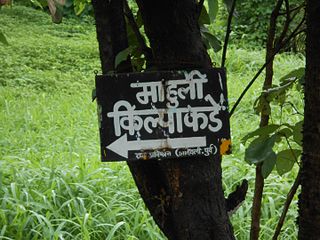
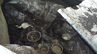
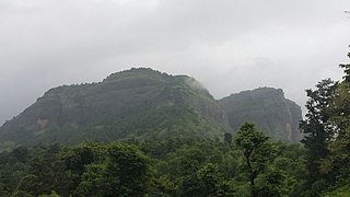
Mahuli is an area of the Indian state of Maharashtra, covering about 6km. It is approximately 75km north-east of Mumbai in the 421601 postcode.
Madangad is a fort in the Nashik region of Maharashtra, India in the Kalsubai range.

Irshalgad is a fortress located between Matheran and Panvel in Maharashtra, India. It is a sister fort to Prabalgad. The area of the fort is not large but there are several water cisterns cut from the rock. The nearest village is Irshalwadi.
Avchitgad is a fort located in the Sahyadri ranges of Maharashtra. The fort is situated near Roha in the Raigad district. At the base of this fort is a village called Medha and Padam - Kharapti.
Kohoj is a medieval military fortification located near Palghar in Palghar district in Maharashtra, India.
Mangad Fort is a survey fort which is situated in Borwadi, an area near Mashidwadi in Mangaon, a taluka in Raigad district in the Indian state of Maharashtra. The fort is made sacred by the footsteps of the founder of Hindavi Swaraj, the famous Maratha king Chhatrapati Shivaji Maharaja. Mangaon is situated about 150 km from Mumbai.

Ankai Fort is a historic site found in the Satmala Range hills in western India. It is located in Yeola Taluka of Nashik district in the state of Maharashtra. The fort was built by Yadava of Devgiri. Geographically, it is near Manmad. The Ankai fort and Tankai fort are two different forts on adjacent hills. A common fortification is constructed to secure both. The Ankai fort is located on a hill with perpendicular scarps on all the sides, except for a narrow nose on the eastern side.

Birwadi fort is hill fortress located in the village of Birwadi in Roha taluka, Raigad district, Maharashtra, India. Birwadi village is about 3 km away from Chanera village, which is on the Roha–Salav road. The fort looks like a small hillock from a distance.
Talgad fort is located 18 km south of the Roha town on Roha-Tala-Indapur road. This fort is at an altitude of 1000 feet. This fort is in form of a narrow strip 20 meters in width. This fort is situated on a narrow spur guarded by fortification. This fort served to keep watch on the enemy and the trade route from Maval to the sea ports around. Also this fort was used to keep check on the activity of Sidhhis of Janjira. Ghosalgad fort is also visible from this fort.

Surgad, is a hill fort located in a spur, fragmented from the Sahyadri ranges of Maharashtra. The fort is situated near Roha, next to the village of Vaijanath in the Raigad district. This fort was an observation fort, which guarded the trade route along the Kundalika river from Sudhagad to Revdanda fort.

Vikatgad / Peb Fort is a fort located 19 km (12 mi) from Karjat, in Raigad district, of Maharashtra. This fort is in continuation with the Malang gad, Tauli Hill and Chanderi fort of the Matheran Hill Range. Vikatgad is a favourite destination for one-day trekkers. The trek path to Vikatgad is along deep ravines and cliffs. Its closeness to Matheran and Neral attracts many trekkers on weekends. The forest department and local villagers are doing plantation and some restoration works on the fort. The altitude of Vikatgad, also known as Peb fort is 640 meters above sea level.
Rajdeher Fort (Marathi: राजधेर किल्ला) is a fort located 10 km (6.2 mi) from chandwad, Nashik district, of Maharashtra. This fort is an important fort in Nashik district.

Gorakhgad Fort is a fort located 24 km from Murbad, Thane district, of Maharashtra. This fort is an important fort in Thane district. This fort was mainly used by sadhus or hermits for meditation.and also by local people's of surrounding village, It was also used to guard the ancient trade route passing through Naneghat.
Ahivant Fort is a fort located 55km from Nashik, in Nashik district, of Maharashtra. This fort is an important fort in Nashik district. The three forts Achala, Ahivant, and Mohandar are very close by. The other two forts were constructed to guard the Ahivant fort.

Hargad Fort is located in the Baglan area of Nashik district. There are two main hill ranges in Baglan area, the Selbari range is south of the Dolbari hill range. These two ranges run parallel to each other in east-west direction. Hargad is located on Selbari hill range. All these forts were maintained to keep watch on the Burhanpur-Surat ancient commercial road. The road passes between the two hill ranges. Hargad fort is a small fort, close to Mulher fort. These are key forts situated between fertile lands of Khandesh and port city of Surat.
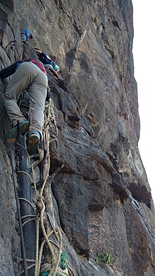
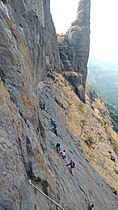
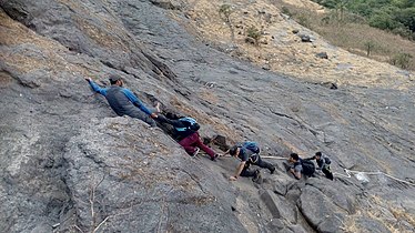
Padargad is a small fort used for vigilance in the past. is situated to the east of Karjat in the Indian state of Maharashtra. It is on the Bhimashanker trek route in the Karjat area, because of its height and difficult climbing, it is not visited by most of the trekkers.
Konkandiva Fort (transliteration: Konkandiva Qilа̄) is a fort located 70 km from Pune in Maharashtra. This fort is on the boundary of Raigad and Pune district. The fort was important as a surveillance fort to keep watch on the possible attack on the Raigad fort through Ghol Village side along the Mutha river.