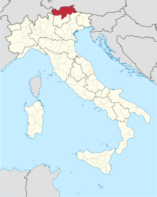
South Tyrol is an autonomous province in northern Italy. An English translation of the official German and Italian names could be the Autonomous Province of Bolzano – South Tyrol, reflecting the multilingualism and different naming conventions in the area. Together with Trentino, South Tyrol forms the autonomous region of Trentino-Alto Adige/Südtirol. The province is the northernmost of Italy, the second largest with an area of 7,400 square kilometres (2,857 sq mi), and has a total population of about 534,000 inhabitants as of 2021. Its capital and largest city is Bolzano.

Ritten is a comune (municipality) in South Tyrol in northern Italy.

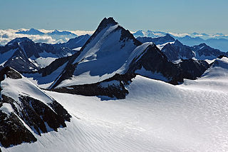
The Ötztal Alps are a mountain range in the Central Eastern Alps, in the State of Tyrol in western Austria and the Province of South Tyrol in northern Italy.

Hafling is an Italian comune (municipality) and a village in South Tyrol in Italy about 20 kilometres (12 mi) northwest of Bolzano and high above the valley basin of Merano.

Klausen is an urban comune (municipality) and a village in South Tyrol in northern Italy, located about 20 kilometres (12 mi) northeast of the city of Bolzano. It is one of I Borghi più belli d'Italia.

Mölten is a comune (municipality) and a village in South Tyrol in northern Italy, located about 12 kilometres (7 mi) northwest of Bolzano.

Ratschings is a comune (municipality) in South Tyrol in northern Italy, located about 45 kilometres (28 mi) north of the city of Bolzano, on the border with Austria.

Jenesien is a comune (municipality) and a village in the province of South Tyrol in northern Italy, located about 4 kilometres (2.5 mi) northwest of the city of Bolzano.

St. Leonhard in Passeier is a comune (municipality) and a village in the Passeier Valley in South Tyrol, northern Italy, located about 35 kilometres (22 mi) north of Bolzano.

Sarntal is a valley and a comune (municipality) in South Tyrol in northern Italy, located about 15 kilometres (9 mi) north of the city of Bolzano. The municipality comprises several towns and villages. The largest one, seat of the mayor and council, is Sarnthein.

Schenna is a comune (municipality) and a village in South Tyrol in northern Italy, located in the Passeier Valley, about 25 kilometres (16 mi) northwest of the city of Bolzano.

Vahrn is a comune (municipality) in South Tyrol in northern Italy, located about 35 kilometres (22 mi) northeast of the city of Bolzano.
Vöran is a comune (municipality) in South Tyrol in northern Italy, located about 14 kilometres (9 mi) northwest of the city of Bolzano.

The Eisack is a river in Northern Italy, the second largest river in South Tyrol. Its source is near the Brenner Pass, at an altitude of about 1990 m above sea level. The river draws water from an area of about 4,200 km2. After about 96 km, it joins the Adige river south of Bolzano. At first the river flows through the Wipptal and after the village of Vahrn through the Eisacktal. Its source is sung of in the Bozner Bergsteigerlied as the northern frontier of the South Tyrolean homeland.

The Hirzer is a mountain in the Sarntal Alps in South Tyrol, Italy.

The Ifinger is a mountain in the Sarntal Alps in South Tyrol, Italy.

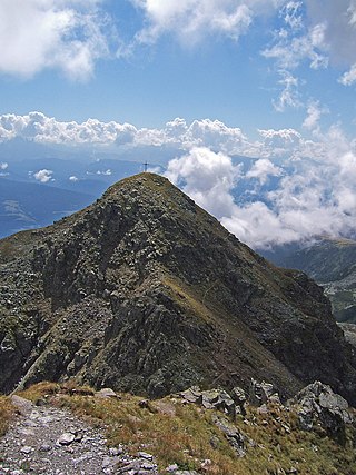
The Kassianspitze is a mountain in the Sarntal Alps in South Tyrol, Italy.

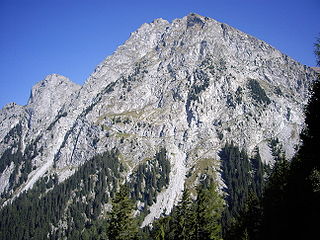
The Penser Weißhorn is a mountain of the Sarntal Alps in South Tyrol, Italy. Located near the Penser Joch, its summit appears almost inaccessible due to its seemingly vertical pyramidal shape, although it is a popular location for hikers, and can be climbed by the sure footed in around two hours as a mini via ferrata has been established on its south face. The view from the summit takes in the whole of the Sarntal Alps.

The Sarntal Alps are a mountain range of the Eastern Rhaetian Alps, in South Tyrol (Italy), which surrounds the Sarntal (valley). It is limited by the Etschtal, Eisacktal, Passeiertal and the Jaufen Pass.
The Durnholzer Tal is a tributary valley of the Sarntal in South Tyrol, Italy. The villages in the valley are Durnholz and Reinswald, which are frazioni of the municipality of Sarntal.


