Elk Hill is a hamlet in Saskatchewan.
53°16′59″N104°13′00″W / 53.28306°N 104.21667°W
Elk Hill is a hamlet in Saskatchewan.
53°16′59″N104°13′00″W / 53.28306°N 104.21667°W

The Town of Gilcrest is a Statutory Town located in Weld County, Colorado, United States. The town population was 1,029 at the 2020 United States Census. Gilcrest is a part of the Greeley, CO Metropolitan Statistical Area and the Front Range Urban Corridor.

Upper Turkeyfoot Township is a township in Somerset County, Pennsylvania, United States. The population was 1,063 at the 2020 census. It is part of the Johnstown, Pennsylvania metropolitan statistical area.

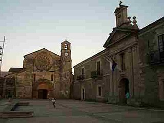
Abbey is a hamlet in the English county of Devon. It is located in the Blackdown Hills, a group of hills that border both Devon and Somerset. Dunkeswell Abbey is situated in the hamlet.
Villafranca is a town and municipality located in the province and the autonomous community of Navarre, northern Spain.

Owensgrove is one of six districts located in Grand Bassa County, Liberia.
East Pine Provincial Park is a provincial park in British Columbia, Canada, located east of Chetwynd in the Peace River Block at the junction of the Pine and Murray rivers. The park was established in 1982 and is 14.2 hectares in size.
Kluskoil Lake Provincial Park is a provincial park in British Columbia, Canada, located on the West Road River downstream from the Euchiniko Lakes.

Saltery Bay Provincial Park is a provincial park in British Columbia, Canada, located southeast of the city of Powell River, and on the north side of the entrance to Jervis Inlet in the central area of that province's Sunshine Coast region.

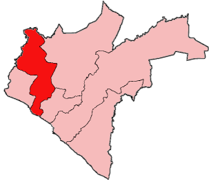
Meira is a municipality in the Galician province of Lugo. It is in the northwest of the province, including the Terra Chá and the Serras Orientais to the west of the Serra de Meira. The most popular festivals are those of the candles, carnival, corpus, Santa Maria, San Roque, and the Festa da Malha.

Hill of Ben is a rising hill situated in the Westmeath Hills, Ireland. The Hill of Ben dominates the valley where Fore Abbey resides. It rises sharply among the other surrounding hills that interlace with the many loughs of Westmeath to an elevation of 627'. Local legend has it that Saint Patrick's successor, named Benigne, is said to have preached from the hill to bring the gospel to local communities.
Pontrilas, Saskatchewan was a Canadian town that no longer exists. At one time Pontrilas was a small farming community approximately 10 miles (16.1 km) south of Nipawin, Saskatchewan. There were four grain elevators, small stores, and services. Around the center were homes and a two-room school for grades 1 to 12. When the school closed, the students were sent to Codette and Nipawin; the school's merry-go-round was sent to Codette. There was a hotel, which has burned down.

Zaamar is a sum of Töv Province in Mongolia.With a total area of 2,900 square kilometers, a population of 37,500, and 7,500 households, it is one of the largest areas in Mongolia.
Arctic Springs is a neighborhood of Jeffersonville, Indiana, one mile east of downtown Jeffersonville, and directly across from Louisville's famed Water Tower. It was established as a resort area full of summer cottages. The Jeffersonville Elks Club ran a popular outdoor dance hall in the 1920s.
McGregor Pass, 1,555 metres (5,102 ft), is a mountain pass located on the Continental Divide in the Canadian Rockies and near the head of the McGregor River, to the north of Wishaw Mountain and to the west of Kakwa Pass, which is in the same vicinity. McGregor Pass forms the division between the Hart Ranges of the Rockies, which begin at Mount Sir Alexander just to the northwest and extend to the Peace Reach of Lake Williston, and the Continental Ranges, the largest and most well-known segment of the Canadian Rockies, which extend to Marias Pass, at the head of the North Fork Flathead River in Montana, United States.

Narrow Hills Provincial Park is a northern boreal forest provincial recreational park in the Canadian province of Saskatchewan. It is located in a hilly plateau called the Cub Hills and contains several recreational facilities and over 25 accessible lakes within its boundaries. The geographical features of the park, including the lakes, valleys, and lowlands were formed over 10,000 years ago during the last ice age. The town of Smeaton is the closest community and it is located 70 kilometres (43 mi) to the south.

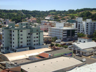
Maravilha, Santa Catarina is a municipality in the state of Santa Catarina in the South region of Brazil. It was created in 1958 out of the existing municipality of Palmitos.

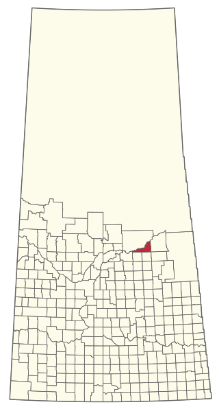
The Rural Municipality of Nipawin No. 487 is a rural municipality (RM) in the Canadian province of Saskatchewan within Census Division No. 14 and SARM Division No. 4.
Unionville is a suburban community in the Delaware Valley located on Pennsylvania Route 309. It is mainly in Hatfield Township, Montgomery County but also in Hilltown Township, Bucks County, Pennsylvania, United States.

Castle Creek is a tributary of the North Fork Toutle River on the flank of Mount St. Helens in Washington state. It rises about two miles (three kilometers) northwest of the crater rim and flows generally to the northwest. The outflow of Castle Lake joins the creek at the lake's north end after traveling a few hundred meters on the South Fork Castle Creek. It joins the North Fork Toutle River at 46.28302°N 122.29359°W, elevation 2,200 feet.