
The Atlantic Ocean is the second-largest of the world's five oceanic divisions, with an area of about 85,133,000 km2 (32,870,000 sq mi). It covers approximately 17% of Earth's surface and about 24% of its water surface area. During the Age of Discovery, it was known for separating the New World of the Americas from the Old World of Afro-Eurasia.

The Don is the fifth-longest river in Europe. Flowing from Central Russia to the Sea of Azov in Southern Russia, it is one of Russia's largest rivers and played an important role for traders from the Byzantine Empire.

The terms international waters or transboundary waters apply where any of the following types of bodies of water transcend international boundaries: oceans, large marine ecosystems, enclosed or semi-enclosed regional seas and estuaries, rivers, lakes, groundwater systems (aquifers), and wetlands.

The Celtic Sea is the area of the Atlantic Ocean off the southern coast of Ireland bounded to the north by Saint George's Channel; other limits include the Bristol Channel, the English Channel, and the Bay of Biscay, as well as adjacent portions of Wales, Cornwall, and Brittany. The continental shelf, which drops away sharply, delimits the southern and western boundaries. The Iroise Sea off Brittany is entirely included within it. The Isles of Scilly are an archipelago of small islands in the sea.
The World Ocean Atlas (WOA) is a data product of the Ocean Climate Laboratory of the National Centers for Environmental Information (U.S.). The WOA consists of a climatology of fields of in situ ocean properties for the World Ocean. It was first produced in 1994, with later editions at roughly four year intervals in 1998, 2001, 2005, 2009, 2013, 2018, and 2023.

The following outline is provided as an overview of and topical guide to Belgium:

The following outline is provided as an overview of and topical guide to Bulgaria:

The following outline is provided as an overview of and topical guide to Croatia:
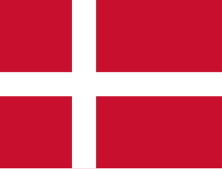
The following outline is provided as an overview, and topical guide to Denmark.

The following outline is provided as an overview of and topical guide to Estonia:

The following outline is provided as an overview of and topical guide to Latvia:

The following outline is provided as an overview of and topical guide to Malta:

The following outline is provided as an overview of and topical guide to the Netherlands.

The following outline is provided as an overview of and topical guide to Romania:

The following outline is provided as an overview of and topical guide to Slovenia:
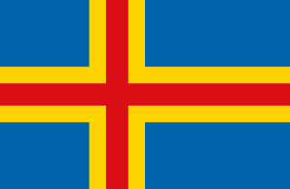
The following outline is provided as an overview of and topical guide to the Åland Islands:

The following outline is provided as an overview of and topical guide to North America.

A continent is any of several large geographical regions. Continents are generally identified by convention rather than any strict criteria. A continent could be a single landmass or a part of a very large landmass, as in the case of Asia or Europe. Due to this, the number of continents varies; up to seven or as few as four geographical regions are commonly regarded as continents. Most English-speaking countries recognize seven regions as continents. In order from largest to smallest in area, these seven regions are Asia, Africa, North America, South America, Antarctica, Europe, and Australia. Different variations with fewer continents merge some of these regions; examples of this are merging North America and South America into America, Asia and Europe into Eurasia, and Africa, Asia, and Europe into Afro-Eurasia.
The Isis River is a river in the Wide Bay–Burnett region of Queensland, Australia.
This page is based on this
Wikipedia article Text is available under the
CC BY-SA 4.0 license; additional terms may apply.
Images, videos and audio are available under their respective licenses.