Federal Highway

Last updated

Federal Highways and Federal Routes can be found in:


Related Research Articles

<span class="mw-page-title-main">Pan-American Highway</span> Network of roads in the Americas

The Pan-American Highway is a network of roads stretching across the Americas, measuring about 30,000 kilometres (19,000 mi) in total length. Except for a break of approximately 100 km (60 mi) across the border between Colombia and Panama, the roads link most of the Pacific coastal countries of North America and South America in a connected highway system. According to Guinness World Records, the Pan-American Highway is the world's longest "motorable road".

National highway or National Highway may refer to:

A routenumber, designation or abbreviation is an identifying numeric designation assigned by a highway authority to a particular stretch of roadway to distinguish it from other routes and, in many cases, also to indicate its classification, general geographical location and/or orientation. The numbers chosen may be used solely for internal administrative purposes; however, in most cases they are also displayed on roadside signage and indicated on maps.

<span class="mw-page-title-main">Malaysian Federal Roads System</span> Main national road network in Malaysia

Malaysian Federal Roads System, is the main national road network in Malaysia. All Federal Roads in Malaysia are under the purview of the Ministry of Works (MOW). According to the Ministerial Functions Act 1969, the MOW is responsible to plan, build and maintain all Federal Roads gazetted under the Federal Roads Act 1959. However, most of the Federal roads' projects were built and maintained by the Malaysian Public Works Department (JKR), which is also one of the implementing agencies under the MOW.

<span class="mw-page-title-main">Highway shield</span> Sign denoting the route number of a highway

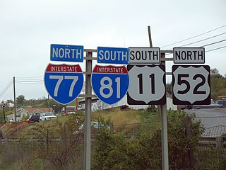
A highway shield or route marker is a sign denoting the route number of a highway, usually in the form of a symbolic shape with the route number enclosed. As the focus of the sign, the route number is usually the sign's largest element, with other items on the sign rendered in smaller sizes or contrasting colors. Highway shields are used by travellers, commuters, and all levels of government for identifying, navigating, and organising routes within a given jurisdiction. Simplified highway shields often appear on maps.

<span class="mw-page-title-main">Malaysian Expressway System</span> System of expressways in Malaysia

The Malaysian Expressway System is a network of national controlled-access expressways in Malaysia that forms the primary backbone network of Malaysian national highways. The network begins with the Tanjung Malim–Slim River tolled road which was opened to traffic on 16 March 1966, later North–South Expressway (NSE), and is being substantially developed. Malaysian expressways are built by private companies under the supervision of the government highway authority, Malaysian Highway Authority.

196 A.D. is a year.