Related Research Articles

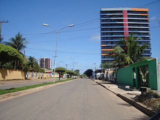
Ji-Paraná is the second most populous municipality in the Brazilian state of Rondônia, with a population of 130,009, and the 16th most populous city of the Brazilian North Region, the 210th most populous city of Brazil, and the 113th of the Brazilian interior. It has an area of 6,897 km2. The city is divided by the Ji-Paraná River.

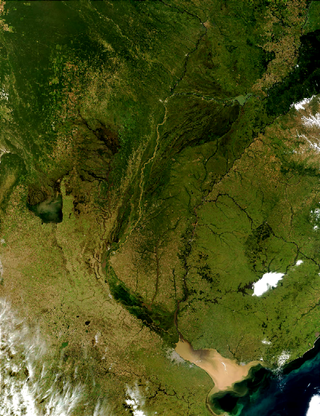
The Río de la Plata basin, more often called the River Plate basin in scholarly writings, sometimes called the Platine basin or Platine region, is the 3,170,000-square-kilometre (1,220,000 sq mi) hydrographical area in South America that drains to the Río de la Plata. It includes areas of southeastern Bolivia, southern and central Brazil, the entire country of Paraguay, most of Uruguay, and northern Argentina. Making up about one fourth of the continent's surface, it is the second largest drainage basin in South America and one of the largest in the world.

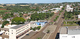
Santo Antônio do Sudoeste is a municipality in the state of Paraná, Brazil with a population of 20,261 inhabitants. It is on the border between Argentina and Brazil, opposite the Argentine city of San Antonio, Misiones. The San Antonio River separates the two cities.
The San Antonio River is a tributary of the Iguazu River. The San Antonio River forms the border between Misiones Province in Argentina and Paraná State in Brazil. South of the San Antonio's source near Barracão, the international border continues south along the Pepiri-Guazu River, which forms the border between Misiones Province and Santa Catarina State.
The Capanema River is a river of Paraná state in southern Brazil.

The Chopim River is a river of Paraná state in southern Brazil.
The Cotegipe River is a river of Paraná state in southern Brazil.

The Ivaí River is a river of Paraná state in southern Brazil. It is a tributary of the Paraná River. Its official spelling is Ivaí, with variants including Ivahy and Ival.
The São Francisco Falso Braço Sul River is a river of Paraná state in southern Brazil.
The Tormenta River is a river of Paraná state in southern Brazil.
Catanduvas, Paraná is a municipality in the state of Paraná in the Southern Region of Brazil.
Santa Lúcia, Paraná is a municipality in the state of Paraná in the Southern Region of Brazil.
Santa Tereza do Oeste is a municipality in the state of Paraná in the Southern Region of Brazil.
Três Barras do Paraná is a municipality in the state of Paraná in the Southern Region of Brazil.

Céu Azul is a municipality in the state of Paraná in the Southern Region of Brazil.
Bela Vista da Caroba is a municipality in the state of Paraná in the Southern Region of Brazil.
Planalto, Paraná is a municipality in the state of Paraná in the Southern Region of Brazil.

Realeza is a municipality in the state of Paraná in the Southern Region of Brazil.

Santa Izabel do Oeste is a municipality in the state of Paraná in the Southern Region of Brazil.
References
25°30′01″S53°40′47″W / 25.50028°S 53.67972°W