
The Yukon River is a major watercourse of northwestern North America. From its source in British Columbia, it flows through Canada's territory of Yukon. The lower half of the river continues westward through the U.S. state of Alaska. The river is 3,190 kilometres (1,980 mi) long and empties into the Bering Sea at the Yukon–Kuskokwim Delta. The average flow is 6,400–7,000 m3/s (230,000–250,000 cu ft/s). The total drainage area is 854,700 km2 (330,000 sq mi), of which 323,800 km2 (125,000 sq mi) lies in Canada. The total area is more than 25% larger than Texas or Alberta.

The West Branch Delaware River is one of two branches that form the Delaware River. It is approximately 90 mi (144 km) long, and flows through the U.S. states of New York and Pennsylvania. It winds through a mountainous area of New York in the western Catskill Mountains for most of its course, before joining the East Branch along the northeast border of Pennsylvania with New York. Midway or so it is empounded by the Cannonsville Dam to form the Cannonsville Reservoir, both part of the New York City water supply system for delivering drinking water to the City.

Noonday Creek is a 20.2-mile-long (32.5 km) stream in Cobb and Cherokee counties in the U.S. state of Georgia. The stream begins near Kennesaw Mountain and ends at Lake Allatoona.

The Sacandaga River is a 64-mile-long (103 km) river in the northern part of New York in the United States. Its name comes from the Native American Sa-chen-da'-ga, meaning "overflowed lands".
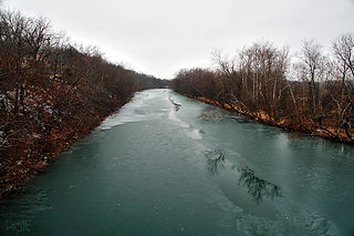
The James River is a 130-mile-long (210 km) river in southern Missouri. It flows from northeast Webster County until it is impounded into Table Rock Lake. It is part of the White River watershed. The river forms Lake Springfield and supplies drinking water for the city of Springfield.
Siloam Springs State Park is an Illinois state park on 3,323 acres (1,345 ha) in Adams and Brown counties, Illinois, United States.
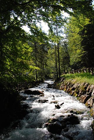
A stream is a continuous body of surface water flowing within the bed and banks of a channel. Depending on its location or certain characteristics, a stream may be referred to by a variety of local or regional names. Long, large streams are usually called rivers, while smaller, less voluminous and more intermittent streams are known as streamlets, brooks or creeks.
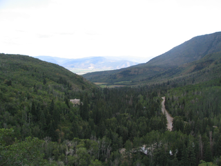
Wasatch Mountain State Park is a state park of Utah, United States, located in the northern part of the state within the Wasatch Back area on the north and west edges of the Heber Valley in Wasatch County near the city of Midway.
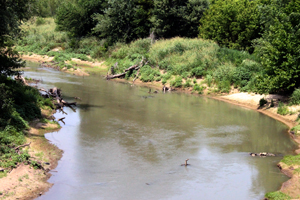
Bird Creek is a stream in northeast Oklahoma. The main creek is formed from the waters of North Bird Creek, Middle Bird Creek, and South Bird Creek, all of which rise in Osage County. The South and Middle branches of the creek converge at Bluestem Lake. Outflow from the lake is called Middle Bird Creek. North Bird Creek joins Middle Bird Creek northwest of Pawhuska, and from that point on is simply Bird Creek. From Pawhuska, the creek flows southeastward and eastward through the north side of the Tulsa metropolitan area, before reaching its mouth at the Verdigris River near Catoosa. Major tributaries include Birch Creek, Hominy Creek and Mingo Creek. There are numerous minor tributaries, both named and unnamed, that have contributed to historical flooding problems in the Tulsa area.
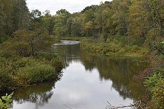
Oaks Creek is a river that drains Canadarago Lake, which is situated in the north central region of Otsego County, New York. The creek begins by the Hamlet of Schuyler Lake and flows southeast approximately 9.32 miles (15.00 km), dropping only 105 feet (32 m) in elevation, before converging with the Susquehanna River south of the Village of Cooperstown, by the Hamlet of Index. From the source to Oaksville the creek flows along Panther Mountain. Fly Creek is a main tributary, that converges with Oaks Creek south of the Hamlet of Fly Creek.
Caroga Creek is a river in Fulton and Montgomery counties in the U.S. State of New York. It begins at East Caroga Lake and flows south passing through Rockwood Lake before converging with the Mohawk River in the Hamlet of Palatine Church.

Sprite Creek is a river in Fulton County and Herkimer County in the U.S. State of New York. It begins at Canada Lake northwest of the Hamlet of Caroga Lake, and flows through Lily Lake before converging with the East Canada Creek northeast of the Village of Dolgeville.
The South Branch Grass River flows into the Grass River in Clare, New York. The South Branch Grass River and Middle Branch Grass River combine here and become Grass River.
The Nettle Creek flows into the Grass River in Bucks Bridge, New York.
The Harrison Creek flows into the Grass River in Pyrites, New York.
Line Creek flows into the Grass River in Buck Bridge, New York.
Bear Creek flows into the Middle Branch Grass River near Degrasse, New York.
Dead Creek flows into the South Branch Grass River near Cranberry Lake, New York.
Red Creek is a river located in central Otsego County, New York. The creek converges with the Susquehanna River south of Cooperstown, New York.
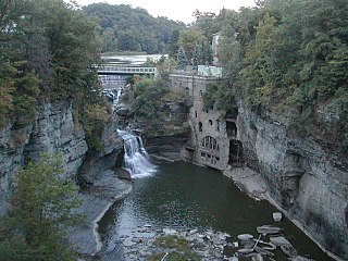
Fall Creek is a river located in Tompkins County, New York. It flows into Cayuga Lake by Ithaca, New York.


