Related Research Articles

Worcestershire is a ceremonial county in the West Midlands of England. It is bordered by Shropshire, Staffordshire, and the West Midlands county to the north, Warwickshire to the east, Gloucestershire to the south, and Herefordshire to the west. The city of Worcester is the largest settlement and the county town.
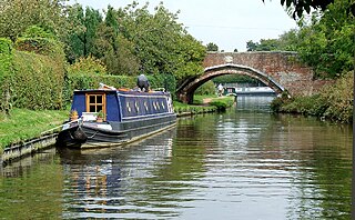
South Staffordshire is a local government district in Staffordshire, England. Its council is based in Codsall. Other notable settlements include Brewood, Cheslyn Hay, Coven, Essington, Featherstone, Four Ashes, Great Wyrley, Huntington, Kinver, Landywood, Penkridge, Perton, Wedges Mills, Weston-under-Lizard and Wombourne. The district covers a largely rural area lying immediately to the west and north-west of the West Midlands conurbation.
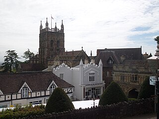
Malvern Hills is a local government district in Worcestershire, England. Its council is based in Malvern, the district's largest town. The district also includes the towns of Tenbury Wells and Upton-upon-Severn and a large rural area covering much of the western side of the county, including numerous villages. The district is named after the Malvern Hills, which are a designated Area of Outstanding Natural Beauty.
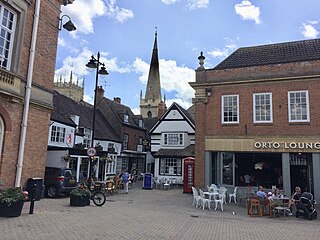
Wychavon is a local government district in Worcestershire, England. The largest towns are Evesham and Droitwich Spa; the council is based in the town of Pershore. The district also includes numerous villages and surrounding rural areas, and includes part of the Cotswolds, a designated Area of Outstanding Natural Beauty. The district's name references the Saxon Kingdom of Hwicce and the River Avon. The population in 2022 was 134,536.

Bromsgrove is a local government district in north-east Worcestershire, England. It is named after its only town, Bromsgrove, where its council is based, but also includes several villages and surrounding rural areas. It borders the built-up area of Birmingham to the north. Other places in the district include Alvechurch, Aston Fields, Belbroughton, Catshill, Clent, Hagley, Rubery, Stoke Prior and Wythall. The population at the 2021 census was 99,475.
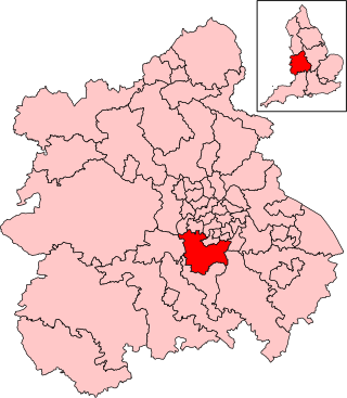
Bromsgrove is a constituency in Worcestershire, represented by Bradley Thomas of the Conservative Party.

Redditch is a constituency in Worcestershire, England, represented in the House of Commons of the UK Parliament since 2024 by Chris Bloore of the Labour Party.

West Worcestershire is a constituency in Worcestershire represented in the House of Commons of the UK Parliament since 2010 by Harriett Baldwin, a Conservative. The constituency is considered a safe seat for the Conservatives, having been a marginal with the Liberal Democrats from 1997 to 2010. The constituency boundaries roughly correspond with the Malvern Hills District.
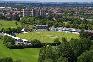
Visit Worcestershire New Road is a cricket ground in the English city of Worcester. The home of Worcestershire County Cricket Club since 1896, it has been rated as one of the world's most beautiful cricket grounds.

Broome is a village and civil parish in the Wyre Forest District of Worcestershire, England. According to the 2001 census it had a population of 338. The village is situated on the lower slopes of the Clent Hills and lies to one side of Broome Lane, a minor road that runs westwards from the outskirts of Clent to the outskirts of Hagley.

North Herefordshire is a constituency represented in the House of Commons of the UK Parliament since 2024 by Ellie Chowns of the Green Party of England and Wales. It is the first Green seat in the West Midlands region.

Wyre Forest is a local government district in Worcestershire, England. It is named after the ancient woodland of Wyre Forest. The largest town is Kidderminster, where the council is based. The district also includes the towns of Stourport-on-Severn and Bewdley, along with several villages and surrounding rural areas.
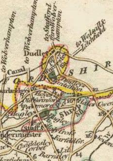
Halesowen was a medieval parish in the West Midlands of England.
Whitchurch is a parish and a small hamlet lying on the left bank of the River Stour in Warwickshire, England, some four miles south-south-east of the town of Stratford-upon-Avon.
The Shelsleys are a group of small villages in the Malvern Hills District in the county of Worcestershire, England. Situated on either wide of the Teme Valley near the village of Clifton-upon-Teme, they encompass the formerly distinct civil parishes of Shelsley Beauchamp, Shelsley Kings and Shelsley Walsh. The three merged in 1972 and now share a single parish council.
Drakelow Hillfort is a small multivallate Iron Age hillfort, located on a promontory at Drakelow at the southern end of Kinver Edge, in the civil parish of Wolverley and Cookley, Worcestershire. The hillfort is a scheduled monument.

St John's Church, Kidderminster is a Church of England parish church in Kidderminster, Worcestershire, England. The church is a Grade II listed building.

Doverdale is a small village and civil parish in Worcestershire, England, to the west of Droitwich. It has a parish church. Doverdale Manor is one of largest properties in the village and is grade II listed.
Hampton Charles is a dispersed hamlet and civil parish in Herefordshire, England, and approximately 5 miles (8 km) north-west from Bromyard. The Herefordshire parish of Hatfield and Newhampton is at the south-west and Thornbury at the south-east; the Worcestershire parish of Bockleton is at the north-west, Kyre at the north, and Stoke Bliss at the north-east.

Ombersley and Doverdale is an area in Wychavon district, Worcestershire, England served by a single parish council but comprising the two separate civil parishes of Ombersley and Doverdale.
References
- ↑ "Parishes: Broom". British History Online. Retrieved 8 October 2024.
- ↑ "Hackman's Gate - Worcestershire, England". Waymarking. Retrieved 8 October 2024.
52°23′57″N2°09′28″W / 52.399067°N 2.157869°W