Husbands is a populated place in Saint Lucy Parish, Barbados. [1]
Husbands | |
|---|---|
Village | |
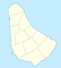 Husbands Location in Barbados | |
| Coordinates: 13°18′04″N59°38′47″W / 13.30111°N 59.64639°W | |
| Country | Barbados |
| Parish | Saint Lucy |
Husbands is a populated place in Saint Lucy Parish, Barbados. [1]
Husbands | |
|---|---|
Village | |
| Husbands Location in Barbados | |
| Coordinates: 13°18′04″N59°38′47″W / 13.30111°N 59.64639°W | |
| Country | Barbados |
| Parish | Saint Lucy |
| | This Barbados location article is a stub. You can help Wikipedia by expanding it. |