Inchamakinna

Last updated

Inchamakinna
Native name:
Inse Mic Cionaith
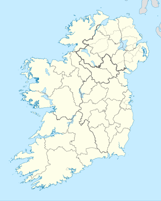
Island of Ireland location map.svg
Red pog.svg
Inchamakinna
Geography
Location Atlantic Ocean
Coordinates 53°16′50″N9°37′10″W / 53.28056°N 9.61944°W / 53.28056; -9.61944 Coordinates: 53°16′50″N9°37′10″W / 53.28056°N 9.61944°W / 53.28056; -9.61944
Administration
Province Connacht
County Galway
Demographics
Population0 (2006)

Inchamakinna ( Gaeilge:Inse Mic Cionaith [1] ) is an island in County Galway, Ireland.
Demographics

Historical population
YearPop.±%
184141    
185111−73.2%
18617−36.4%
18717+0.0%
18818+14.3%
18919+12.5%
190112+33.3%
19119−25.0%
YearPop.±%
192631+244.4%
193629−6.5%
194636+24.1%
195147+30.6%
195648+2.1%
196146−4.2%
196647+2.2%
197137−21.3%
YearPop.±%
19790−100.0%
198100.00%
198600.00%
199100.00%
199600.00%
200200.00%
200600.00%
Source: Central Statistics Office. "CNA17: Population by Off Shore Island, Sex and Year". CSO.ie. Retrieved 12 October 2016.

References