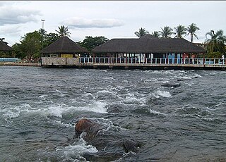
| Itaguari River | |
|---|---|
 | |
| Location | |
| Country | Brazil |
| Physical characteristics | |
| Source | |
| • location | Bahia state |
The Itaguari River is a river of Bahia state in eastern Brazil.
| Itaguari River | |
|---|---|
| | |
| Location | |
| Country | Brazil |
| Physical characteristics | |
| Source | |
| • location | Bahia state |
The Itaguari River is a river of Bahia state in eastern Brazil.

South Wallins is an unincorporated community and census-designated place (CDP) in Harlan County, Kentucky, United States. The population was 859 at the 2010 census, down from 996 at the 2000 census.

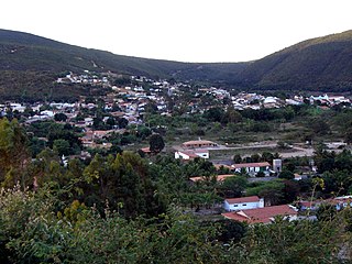
Caculé is a Brazilian municipality located in the state of Bahia, which possesses 23,291 inhabitants as of 2020, according to IBGE. It is situated 750 kilometers southwest from Salvador. Its economy is based mostly on agriculture. The climate in Caculé is warm and dry during the day, being cooler at night, at about 15 °C. The "Rio Antônio" crosses the city. Although it presently has no operational railroad station, Caculé is midpoint on the Ferrovia Centro Atlântica railroad route connecting Montes Claros to Salvador, Bahia.

Ipiaú is a city in Bahia, Brazil. It is located at around 14°8′13″S39°44′2″W.

Santa Rita de Cássia is a Brazilian municipality in the state of Bahia. In 2020 the town's population was estimated as 28,481 inhabitants.
Correntina is a municipality in the state of Bahia in Brazil, 500 km from Brasilia and 980 km from Salvador. In 2020, the population was estimated at 32,191.

Juvenília is a municipality in the north of the state of Minas Gerais in Brazil. As of 2020 the population was 5,715 in an area of 1,065 km².
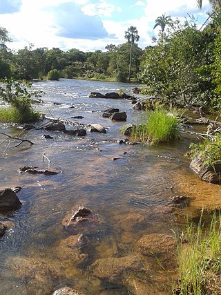
The Arrojado River is a river of Bahia state in eastern Brazil.
The Pratudão River is a river of Bahia state in eastern Brazil.
São Gabriel, Bahia is a municipality in the state of Bahia in the North-East region of Brazil.
Palmeiras is a municipality in the state of Bahia in the North-East region of Brazil.

Tabocas do Brejo Velho is a municipality in the state of Bahia in the North-East region of Brazil.

São Desidério is a municipality in the state of Bahia in the North-East region of Brazil.
Mansidão is a municipality in the state of Bahia in the North-East region of Brazil.
Canápolis, Bahia is a municipality in the state of Bahia in the North-East region of Brazil.

Jaborandi, Bahia is a municipality in the state of Bahia in the North-East region of Brazil.
Cocos (Bahia) is a municipality in the state of Bahia in the North-East region of Brazil.
Santana is a municipality in the state of Bahia in the North-East region of Brazil.

Santa Brígida, Bahia is a municipality in the state of Bahia in the North-East region of Brazil.

Gongogi is a municipality in the state of Bahia in the North-East region of Brazil. It covers 195.39 km2 (75.44 sq mi), and has a population of 6,985 with a population density of 41 inhabitants per square kilometer. It was named after the Gongogi River which forms the southern border of the municipality.
Cosy Cove is a settlement on Stoco Lake in the municipality of Tweed, Hastings County, Ontario, Canada, about 4 kilometres (2.5 mi) southwest of the community of Sulphide and 2.5 kilometres (1.6 mi) east of the village of Tweed. Sulphide Creek, a tributary of the Moira River, reaches its mouth at Stoco Lake in the community.
Coordinates: 14°16′50″S44°24′41″W / 14.28056°S 44.41139°W