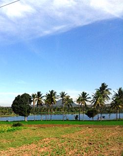
Karighatta is a hill situated a few kilometres outside the 'island' town of Srirangapatna. It is situated off the Bangalore-Mysore Highway just before Srirangapatna in Karnataka state of India.

Arsikere is a town and taluk in the Hassan district in the state of Karnataka, India. This region is known for its coconut production and second largest coconut market in Karnataka after tiptur along with Malekallu Tirupathi hill. Arsikere is the taluk headquarters, a major railway junction on the South Western Railway which links Mangalore and Mysore to North Karnataka and a central place for tourists who visit nearby places that do not have rail access, such as Belur, Halebidu and Shravanabelagola.

Fanling-Sheung Shui New Town was developed from the traditional market towns and villages around Fanling and Sheung Shui, within the present-day North District in the New Territories of Hong Kong. Connecting Fanling and Sheung Shui is an U-shaped main road called Ma Sik Road.

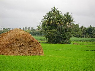
Mandya District is an administrative district of Karnataka, India. The district is bordered on the south by Mysore District, on the west by Hassan District, on the north by Tumkur District and on the east by Ramanagar district. The district Mandya was carved out of larger Mysore district in the year 1939.

Kotido is a town in the Northern Region of Uganda. It is the chief municipal, administrative, and commercial center of the Kotido District and the site of the district headquarters.

Palawa is a census town in Katkamsandi of Hazaribag district in the Indian state of Jharkhand.

Nimishamba is the name of a temple on the banks of the Cauvery river, located about 2 km from Srirangapattana on the road leading to Sangam (confluence) in the south Indian state of Karnataka.

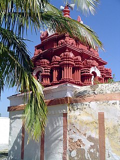
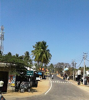
The Ranganthaswamy temple in Srirangapatna, in the Mandya district of Karnataka state, India, is dedicated to the Hindu god Ranganatha. It is one of the five important pilgrimage sites of Sri Vaishnavism along the river Kaveri for devotees of Ranganatha. These five sacred sites are together known as Pancharanga Kshetrams in Southern India. Since Srirangapatna is the first temple starting from upstream, the deity is known as Adi Ranga. The town of Srirangapatna, which derives its name from the temple, is located on an island in the river Kaveri.
Kagadi is a town in the Western Region of Uganda. It is the commercial and administrative headquarters of Kagadi District.
Gangadharpur is a census town in Chanditala I CD Block in Srirampore subdivision of Hooghly district in the state of West Bengal, India.

Alambur or Alamburu is a village in Mysore district of Karnataka state, India.
Narayanapura is a small village in Mandya district of Karnataka state, India.

Byadara Halli is a village in Mandya district of Karnataka state, India.

Chikkalli Choranalli is a twin village near Mysore city, Karnataka state, India.
Mandyakoppalu is a small village and road intersection in Mandya district of Karnataka state, India.

Kodagahalli is a small village in Mysore district of Karnataka state, India.
Kibiito is a town in the Western Region of Uganda. It is the chief administrative center of Bunyangabu District, and the district headquarters are located there.