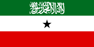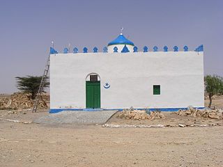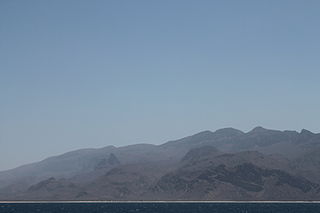
Somaliland, officially the Republic of Somaliland, is a self-declared state, internationally considered to be an autonomous region of Somalia.

Sool is an administrative region in Somaliland, The Somali state of Puntland also claims the region.

Bari is an administrative region (gobol) in northeastern Somalia.

Bosaso is a city in the northeastern Bari province (gobol) of Somalia. It is the seat of the Bosaso District. Located on the southern coast of the Gulf of Aden, the municipality serves as the region's commercial capital and is a major seaport within the autonomous Puntland state.

Galkayo is the capital of the north-central Mudug region of Somalia. The city of Galkayo is divided into two administrative areas separated by a distinct boundary, with 3 of the 4 districts governed by the Puntland State and one southern district governed by Galmudug state.

Garowe is the capital of Nugaal region and administrative capital of Puntland state in northeastern Somalia.

Las Khorey is an ancient coastal city in the northern Sanaag region of Somalia. Situated in the Las Khorey District, it is notable as the historic capital of the Warsangali Sultanate.
The Majeerteen is a Somali clan. It is one of the major Somali clans, with a vast traditional territory spanning 3 major regions of Somalia: Bari, Nugaal and Mudug. From Bosaso down to Garacad, the Majerteen are settled in what is literally considered to be the 'Horn of Africa'. Its members form a part of the Darod clan family, and primarily inhabit the Puntland state of northeastern Somalia.

Qardho, also known as Gardo, is a city in the northeastern Bari region of Somalia. Part of the autonomous Puntland state, it is the center of the Qardho District.

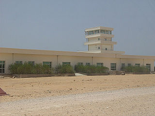
Bosaso Airport, also known as Bender Qassim International Airport, is an airport in Somalia. It sits at 11°16′32″N 49°9′0″E on the outer edge of the city of Bosaso, the commercial capital of the northeastern Puntland macro-region and adjacent to the Gulf of Aden. It is the fourth largest airport in the country after the Aden Adde International Airport in Mogadishu, the Hargeisa International Airport in Hargeisa and the Berbera Airport in Berbera.

Bosaso District is a district in the northeastern Bari region of Somalia. Its capital lies at Bosaso. It is also the commercial capital of Puntland state of somalia and one of somalia's commercial capitals, The city appreciates its indigenous clan who warmly welcomed all people reached there last 25 years, Ugaas Hassan Ugaas yaasiin ugaas abdurahman is the well known traditional elder of the city]]

Qardho District is a district in the region of Karkaar in Puntland, Somalia. The district had previously been in the northeastern Bari region before this was split into two. Its capital lies at Qardho.

Galmudug officially Galmudug State(Somali: Dowladda Galmudug ee Soomaaliya) is an autonomous region in central Somalia. It is bordered to the north by the Puntland region, to the west by Ogadenia, to the east by Somali Sea and to the south by Hirshabelle.

Oil exploration in Puntland, an autonomous region in northeastern Somalia which is a federal state, began in the mid-2000s as a series of negotiations between the provincial administration and foreign oil companies. By 2012, exploratory wells established in the area yielded the first signs of crude oil.

Haylan,, is an ancient town in the northern Sanaag region of Somalia. It is the namesake of the Haylan administrative province.
Tourism in Somalia is regulated by the Federal Government of Somalia's Ministry of Tourism. The industry was traditionally noted for its numerous historical sites, beaches, waterfalls, mountain ranges and national parks. After the start of the civil war in the early 1990s, the Tourism Ministry shut down operations. It was re-established in the 2000s, and once again oversees the national tourist industry. The Mogadishu-based Somali Tourism Association (SOMTA) provides on-the-ground consulting services.

Waiye is a town in the Bari province of the autonomous Puntland region in northeastern Somalia.

Murcanyo, also known as Bander Murcaayo, is a coastal town in the northeastern Bari province of Somalia. It is situated in the autonomous Puntland region.

Geesaley, also known as Gesulli, is a coastal town in the northeastern Bari province of Somalia. It is situated in the autonomous Puntland region.


