References
 Coxs River
 Remains of Kowmung House, an abandoned property on Scotts Main Range
 The old church at Yerranderie
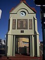 War memorial at Mittagong


Wikimedia Commons has media related to Mountain Scenery, New South Wales .
| | This New South Wales geography article is a stub. You can help Wikipedia by expanding it. |