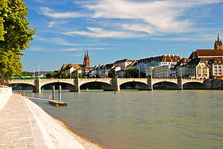
The Rhine is one of the major European rivers. The river begins in the Swiss canton of Graubünden in the southeastern Swiss Alps. It forms the Swiss-Liechtenstein border and partly the Swiss-Austrian and Swiss-German borders. After that the Rhine defines much of the Franco-German border, after which it flows in a mostly northerly direction through the German Rhineland. Finally in Germany, the Rhine turns into a predominantly westerly direction and flows into the Netherlands where it eventually empties into the North Sea. It drains an area of 9,973 km2.

Westphalia is a region of northwestern Germany and one of the three historic parts of the state of North Rhine-Westphalia. It has an area of 20,210 square kilometres (7,800 sq mi) and 7.9 million inhabitants.

North Rhine-Westphalia or North-Rhine/Westphalia, commonly shortened to NRW, is a state (Land) in Western Germany. With more than 18 million inhabitants, it is the most populous state in Germany. Apart from the city-states, it is also the most densely populated state in Germany. Covering an area of 34,084 km2 (13,160 sq mi), it is the fourth-largest German state by size.

Duisburg is a city in the Ruhr metropolitan area of the western German state of North Rhine-Westphalia. Lying on the confluence of the Rhine and the Ruhr rivers in the center of the Rhine-Ruhr Region, Duisburg is the 5th largest city in North Rhine-Westphalia and the 15th-largest city in Germany.
AA, Aa, Double A, or Double-A may refer to:

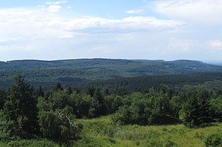
The Sauerland is a rural, hilly area spreading across most of the south-eastern part of North Rhine-Westphalia, in parts heavily forested and, apart from the major valleys, sparsely inhabited.

The Sieg is a river in North Rhine-Westphalia and Rhineland-Palatinate, Germany. It is a right tributary of the Rhine.

Lippe is a Kreis (district) in the east of North Rhine-Westphalia, Germany. Neighboring districts are Herford, Minden-Lübbecke, Höxter, Paderborn, Gütersloh, and district-free Bielefeld, which forms the region Ostwestfalen-Lippe.

The Vechte or Vecht, often called Overijsselse Vecht in the Netherlands to avoid confusion with its Utrecht counterpart, is a river in Germany and the Netherlands. Its total length is 182 km (113 mi), of which 107 km (66 mi) is in Germany.

Ahr is a river in Germany, a left tributary of the Rhine. Its source is at an elevation of approximately 470 metres (1,540 ft) above sea level in Blankenheim in the Eifel, in the cellar of a timber-frame house near the castle of Blankenheim. After 18 kilometres (11 mi) it crosses from North Rhine-Westphalia into Rhineland-Palatinate.

The Roer or Rur is a major river that flows through portions of Belgium, Germany and the Netherlands. It is a right (eastern) tributary to the Meuse. About 90 percent of the river's course is in Germany.

Beckum is a town in the northern part of North Rhine-Westphalia, Germany. It is about 20 km north-east of Hamm and 35 km south-east of Münster. It gives its name to the nearby Beckum Hills.

The Duchy of Westphalia was a historic territory in the Holy Roman Empire, which existed from 1102 to 1803. It was located in the greater region of Westphalia, originally one of the three main regions in the German stem duchy of Saxony and today part of the state of North Rhine-Westphalia. The duchy was held by the archbishop-electors of Cologne until its secularization in 1803.

At 446.4 m above sea level (NN) the Barnacken is the highest hill in the Teutoburg Forest in the German state of North Rhine-Westphalia.

Alte Hessel is a river of North Rhine-Westphalia, Germany. It is a branch of the river Hessel.

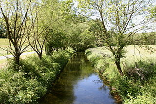
Bever is a river of North Rhine-Westphalia, Germany.
Schaler Aa is a river of Lower Saxony and North Rhine-Westphalia, Germany. It flows into the Große Aa south of Freren.
Siechenbach is a small river in Beckum, North Rhine-Westphalia, Germany. It is a left tributary of the Kollenbach, the upper course of the Werse.
Beberbach is a river of North Rhine-Westphalia and Lower Saxony, Germany.


