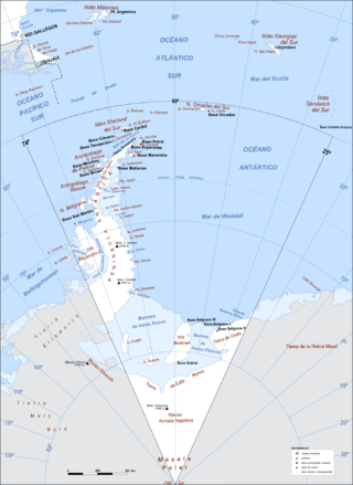
The Arctic Archipelago, also known as the Canadian Arctic Archipelago, is an archipelago lying to the north of the Canadian continental mainland, excluding Greenland and Iceland.

Makassar Strait is a strait between the islands of Borneo and Sulawesi in Indonesia. To the north it joins the Celebes Sea, while to the south it meets the Java Sea. To the northeast, it forms the Sangkulirang Bay south of the Mangkalihat Peninsula. The strait is an important regional shipping route in Southeast Asia.

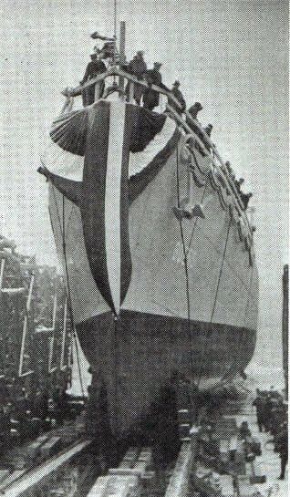
HMS Byard was a Captain-class frigate of the Royal Navy during World War II. She was named for Sir Thomas Byard, who commanded HMS Bedford at the Battle of Camperdown in 1797 during the French Revolutionary Wars.
Pedro Bank is a large bank of sand and coral, partially covered with seagrass, about 80 km south and southwest of Jamaica, rising steeply from a seabed of 800 metres depth. It slopes gently from the Pedro Cays to the west and north with depths from 13 to 30 metres. The total area of the bank within the 100-metre (328-foot) isobath measures 8,040 square kilometres. The area of a depth to 40 metres is triangular, 70 kilometres long east-west, and 43 kilometres wide. 2,400 square kilometres are less than 20 metres deep. With its islets, cays and rocks, a total land area of 270,000 m2 (2,906,256 sq ft), it is the location of one of the two offshore island groups of Jamaica, the other one being the Morant Cays. The bank is centered at 17°06′N78°20′W.
Solovyovo is the name of several rural localities in Russia:
Sicunusa is a town in southwest Eswatini. It is located close to the border with South Africa.
Stabben is a prominent mountain immediately north of Mayr Ridge in the north part of the Gjelsvik Mountains, Queen Maud Land, which constitutes the northernmost part of Jutulsessen. Photographed from the air by the German Antarctic Expedition (1938–39). Mapped by Norwegian cartographers from surveys and air photos by the Norwegian-British-Swedish Antarctic Expedition (NBSAE) (1949–1952), led by John Schjelderup Giæver and air photos by the Norwegian expedition (1958–59) and named "Stabben".

Daule, is a canton located in the Guayas province in Ecuador. Created in 1820, it is one of the most important parts of Guayas thanks to its rice production and other products such as corn and eggs.
Ambahatrazo is a town and commune in Madagascar. It belongs to the district of Manakara Atsimo, which is a part of Vatovavy-Fitovinany Region. The population of the commune was estimated to be approximately 10,000 in 2001 commune census.
Boulyendé is a town in the Manni Department of Gnagna Province in eastern Burkina Faso. The town has a population of 1,112.
Esbensen Bay is a small bay 1 nautical mile (2 km) southwest of Nattriss Head, along the southeast end of South Georgia. It was charted by the Second German Antarctic Expedition, 1911–12, under Filchner, and was named for Captain Viktor Esbensen, manager of the Compañía Argentina de Pesca whaling station at Grytviken, the first land-based whaling station in Antarctica.

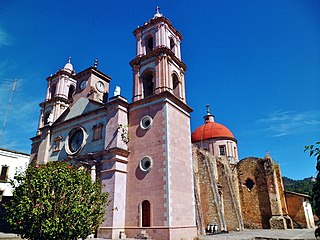
Sultepec is a municipality in the State of Mexico in Mexico. The municipal seat is Sultepec de Pedro Ascencio de Alquisiras. The municipality covers an area of 552.52 km².

Nova Serrana is a municipality in the state of Minas Gerais in the Southeast region of Brazil.

Nemesapáti is a village in Zala County, Hungary, Europe.
Los Varela is a village and municipality in Catamarca Province in northwestern Argentina.
Basail is a village and municipality in Chaco Province in northern Argentina.
Centre Island is an island 4 nautical miles (7 km) long and 2 nautical miles (3.7 km) wide, lying 1 nautical mile (1.9 km) south of Broken Island in the south part of Square Bay, off the west coast of Graham Land. Discovered and named by the British Graham Land Expedition (BGLE) under Rymill, 1934–37.


